|
From Waterville, I took Rte 137 to Rte 2 and Rte 4, thence the AT parking lot. Though that road trip is only ~68 miles, the roads are local and have many slow zones in towns. |
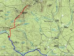
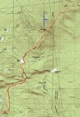
24k GPS map. The accumulated gain at days end is ~4200' |
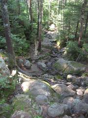
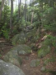
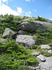
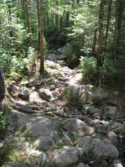
The trail starts off nice, but soon gets like this. The boulders rarely move, but are moss-covered, and the trail routinely consists of boulder hopping; you really can't take your eyes off your feet. |
|
|
|
|
|
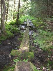
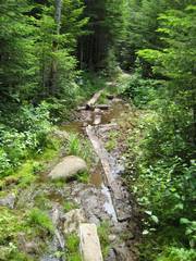
In wetter times, these split-log bridges keep you out of water. |
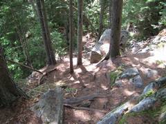
This is the trail in a dry but rocky stretch; I'm looking uphill. |
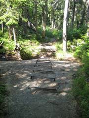
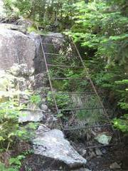
These rungs (on a 30 degree slope) seem unnecessary in dry times, but when water is flowing, the rock becomes very slick. |
|
|
|
|
|
|
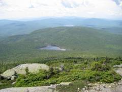
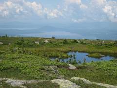
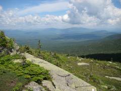
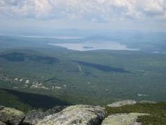
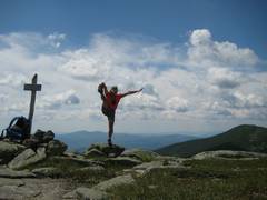
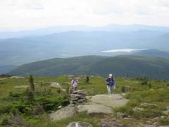
View S past Eddy Pond; ~3700'. |
More view S, now ~4000'. |
|
|
|
|
|
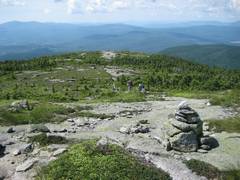
A small pond near the summit. |
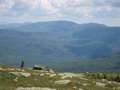
View N toward the 2nd hump of the "saddle". |
View W. |
|
|
|
|
|
|
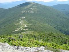
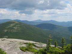
N to The Horn. |
|
|
|
|
|
|
|
|
|
|
|
|
|
|
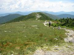
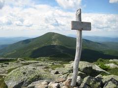
On Horn, back S to Saddleback. |
W. The development is a ski area an the W side of Saddleback. |
|
|
|
|
|
|
NE from The Horn. |
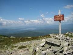
Heading back to Saddleback; Class 2 over by the white AT paint splotch. |
On Saddleback Again, view N. |
|
|
|
|
|
|
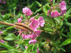
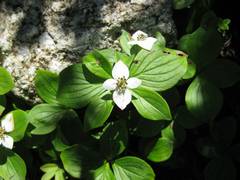
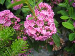
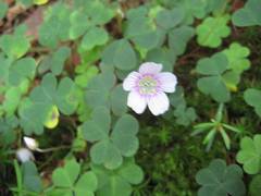
Wood Sorrell. |
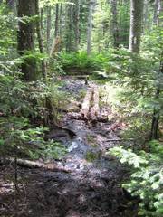
A lot of the trail involves this sort of terrain -- you try to balance on the slippery logs, jump from log to rock to log, and occasionally take a soaker when a log turns out to be floating. |
|
|
|
|
|
|
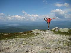
Run and jump and jump. Your lower legs may be filthy at day's end. |
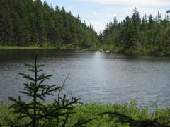
Ethel Pond. |
|
|
|
|
|
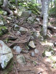
The roots can trip you up and give a good tumble. |
|
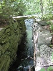
Many NE streams were channelized between rock walls, to provide better flow for mills. |
|
|
|
|