South Arrow Peak (5219')
N of Las Vegas, Nevada
Harlan W. S.
January 10, 2006 |
See the previous entries on Arrow Peak and Broken Arrow.
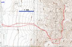
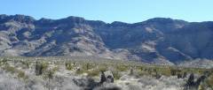
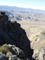
I first saw the cairn atop this Peak from Arrow. There are enormous cliffs on the north face of this peak, so a direct traverse was out of the question. I waited until I had the time for a trip from the SW. The hike was ~8 trailless miles, 3600' accumulated elevation gain. This area is deathly hot in the summer.
Location of the correct canyon is critical. Most of the canyons on the west face end in towering cliffs. If you find the correct canyon, this is just a Class 2 hike, albeit a very rough one, with some nasty, very steep talus. One can always find a way around the various Class 3-4 obstacles on the ridgeline, either by going slightly to the right or left.
"Everything else was searching, was a detour, was getting lost." Siddhartha, by Hesse (see DPS register, below, and comment at end).
|
|
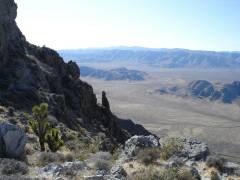
View W to canyon. We cut right after entering wash. |
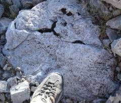
Large block of tabulate coral. |
|
|
|
|
|
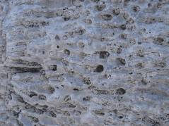
Close-up of coral. |
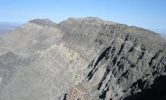
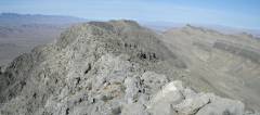
View N after cresting the ridge. |
|
|
|
|
|
|
Muddy Range to SE. |
View S. |
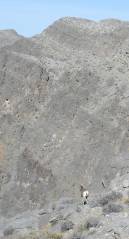
Bighorn runs away. He was very close, but my !#$%^&* camera had turned itself to "menu" mode, so I couldn't get the shot for about 5 seconds. |
|
|
|
|
|
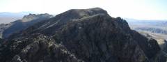
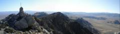
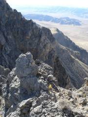
View N to cairned peak. |
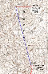
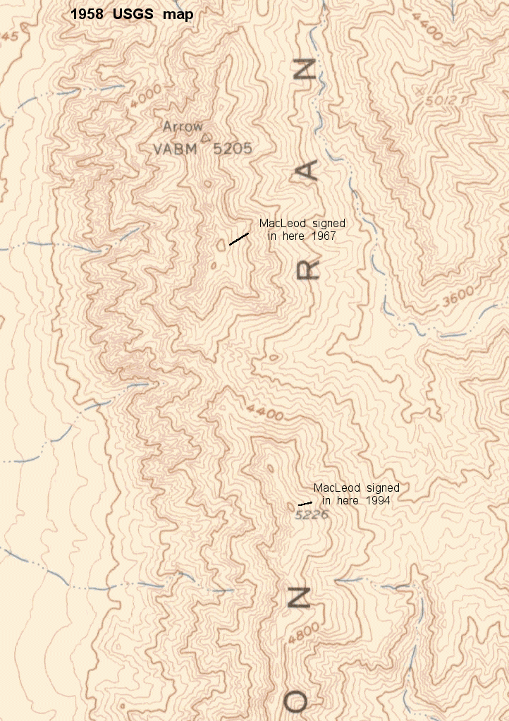
In 1967, the DPS found the correct highpoint. In 1994, they mistakenly went to the point 1.275 miles away. Both points have remnants of survey cairns. Within normal photogrammetric error, peaks are same height. |
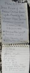
Erroneous DPS 1994 register ID. Gordon signed in on the northern peak before (see register here). Think the issue is resolved? See comments at end of page. |
|
|
|
|
|
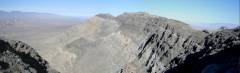
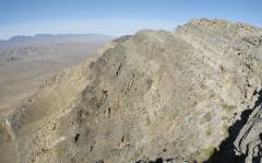
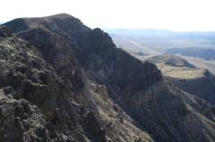
North across true Arrow highpoint and Broken Arrow (right) |
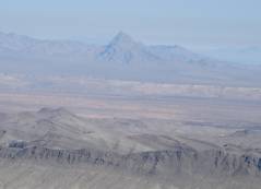
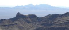
Moapa Peak. |
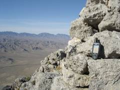
The 5219' peak and view S. |
|
|
|
|
|
|
View NE, Ram Peak at left. |
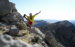
View SW on descent. |
|
|
|
|
|
More view S, over last 5000+ lump. |
It's hard to capture the depth and roughness of the west face. |
View W to Hayford. |
|
|
|
|
To add more confusion, here's the 1958 USGS 62500:1 map, based on aerial photos from 1954, and field checks from 1958. I would surmise that the survey cairns date from 1958. Back in 1958, no spot elevation was assigned to the "highpoint" ("Big Arrow" of Jim Boone), but the southern peak was then given the elevation of 5226' based on a spot check (not 5219' as in the current surveys). There is no indication that the current heights arise from anything other than photogrammetry, and there is no indication on the older map for the quality of the previous spot checks, so both peaks are probably the same height, within error.