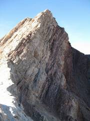
Sentinel
(near
|
|
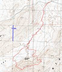
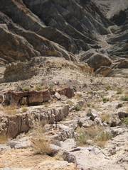
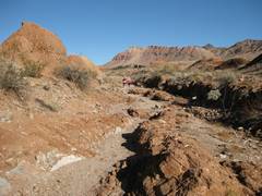
We took the Henry D route in, through a wash and old road. Near Sandstone Spring, you should actually follow the blue dots. Near the summit, follow the blue dots for descent to avoid the loosest rock. |
The road is very washed out, but makes a decent walking surface. Don’t leave it too soon, or you will cross multitudinous deep washes. |
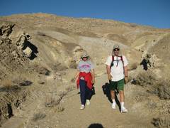
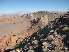
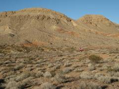
East of the spring area; Sentinel is in the background. |
|
|
|
|
|
|
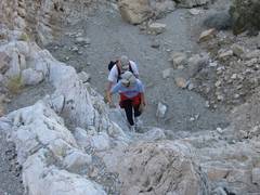
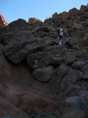
Every dryfall has a class 2-3 walk-around. |
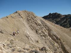
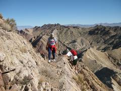
On the ridge, we follow a sheep trail. |
|
|
|
|
|
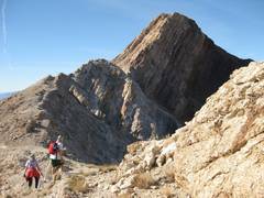
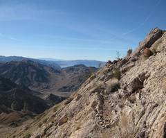
View west, approaching the steep limestone ramp. |
the sheep trail peters out. |
|
|
|
|
|
|
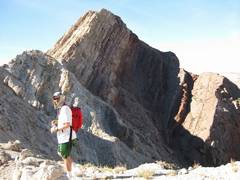
The little shoulder is below. This slope is very steep, but the rock is tough and very frictional |
|
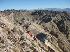
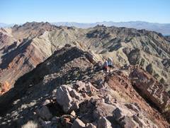
View east, as DB and CP top out. |
|
|
|
|
|
|
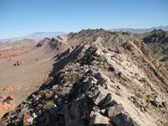
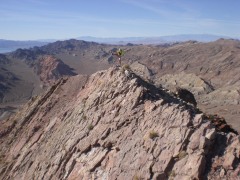
You can avoid any knife edge by taking a trail on the N side of this last ridge. |
The knife edge (thanks CP). |
|
|
|
|
|
|
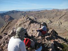
On top! |
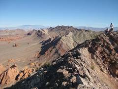
This panorama include the last photo, and Booth Pinnacle and Pyramid to the R, with |
|
|
|
|
|
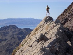
Itchy foot (thanks CP). |
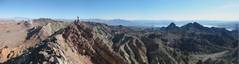
View ENE to |
|
|
|
|
|
|
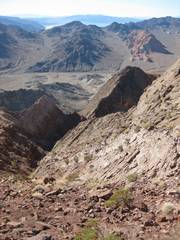
View W on descent. The Pinto Valley is at far R. |
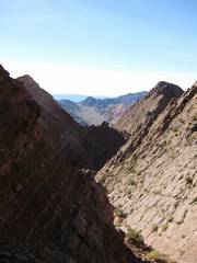
Descent valley. It’s loose to this point. |
|
|
|
|
|
|
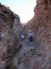
Coming down. |
Later, there are a few tricky Class 3 sections. Avoid the very last big drop by climbing R (NE) out of the canyon. (See GPS trace.) |
Walking home up the wash. |
|
|
|
|
|
|
|
|
|
|
|
|