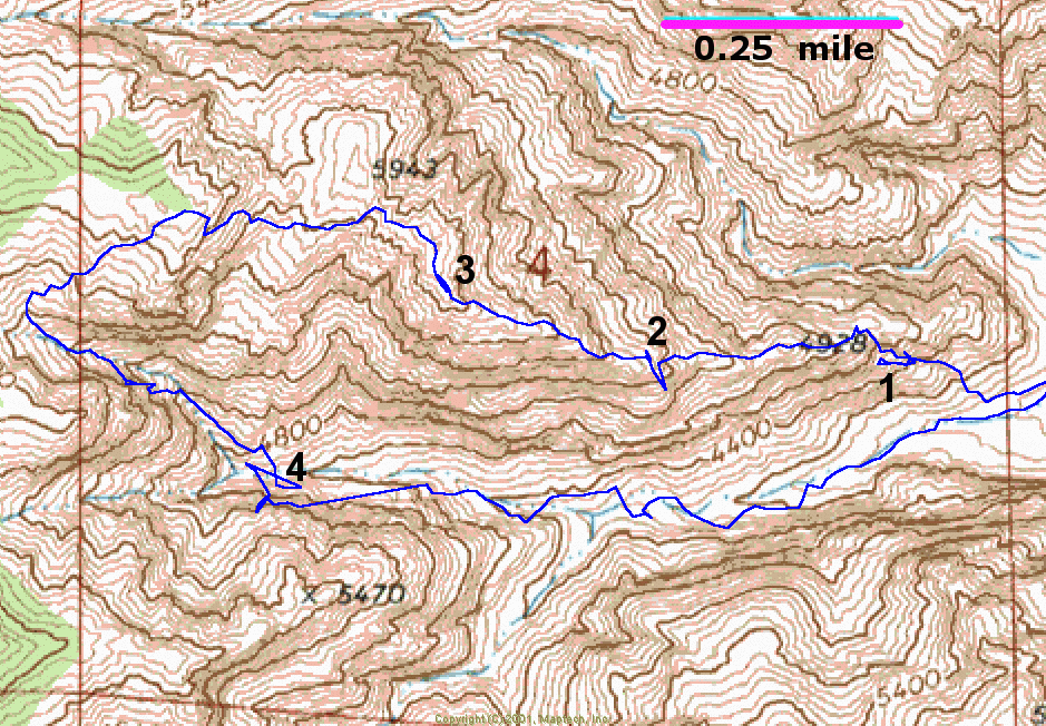
North is up; scale bar on 1st map.
At left is the STP track only, with the bold black numbers 1-4 denoting several areas of interest.
1) This trebling of the STP track is real. I went left of the main group, to explore a possible route up a chimney; the route was totally enclosed at one point, and I had to "spin" around on my vertical axis several times, before I turned back.
2) This jag artifact, which does not appear in the 60c log (next map), was possibly due to the GPS positions. I faced into a shallow, narrow chimney for some time; the STP was deeper in the chimney, and was blocked by my body and the rock. The 60c was on my back, facing out of the chimney.
3) This doubling appears on both logs, and is real; I made two trips to guide people up a slot. The 60c is more realistic, putting the traces close together (next map).
4) The tracks in the deep canyon are not likely to be accurate; the WAAS was certainly nonsensical.
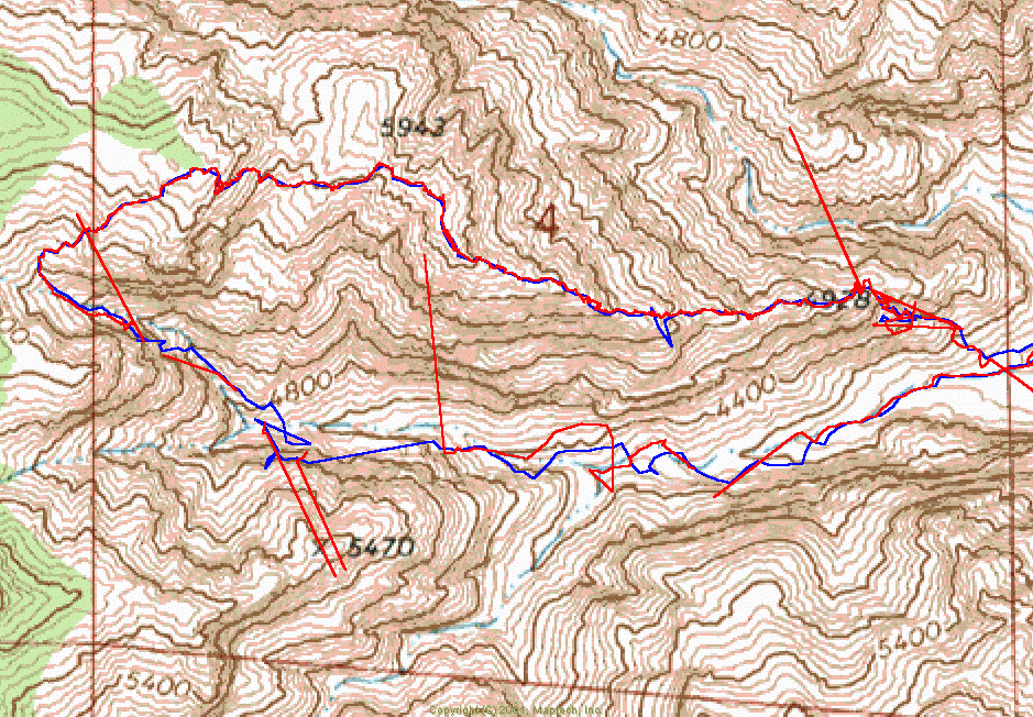
A comparison of the 60c and STP tracks. The 60c lost sync 13 times and generated 14 logs. Often the first point recorded to the log, after sync was regained, was wildly inaccurate; if those first points are eliminated, the 60c track is more consistent with the STP track. Unfortunately, the wild points show up on the track, on the LCD screen, and can be difficult to interpret in the field. On the ridge, the 60c recorded the details of climbing routes, while the STP averaged out small zigs and zags.
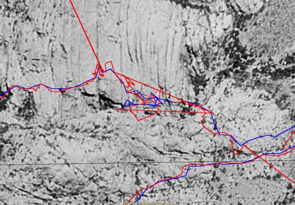
A detail of the area around number 1 in the first map, on an aerial photo. I traveled up this steep E-W valley fairly fast; the STP was apparently content to dead-reckon in places of poor reception, whereas the 60c generated several track logs, each with an initially wild guess.