South
Guardian Angel,
pics by Harlan W.S. & Luba L. By using a GPS track from Mike C and instructions from
CP, we were able to complete the RT in 9.5 hours, with few route-finding
issues. We didn’t need Subway permits. A herd of 30 or more elk ran across the trail as we started. The air was cold, and there had been recent rains – most of the sand was frozen in the first hour or so. |
|
Don’t try to
reproduce the route from this map alone! Note that in |
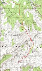
We arrive at the N
Guardian overlook just after sunrise.
The |
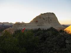
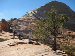
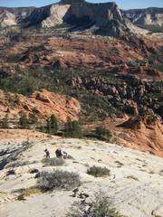
We head SSE over slabs, just below N Guardian. |
|
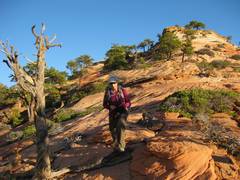
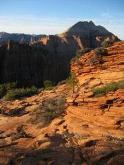
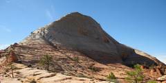
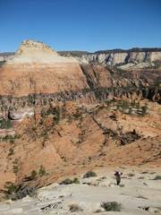
View back up at N Guardian. |
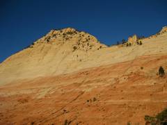
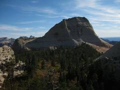
S Guardian is the peak in the distance. |
This is the upper of the 2 brushy chutes; note the tree. At the bottom of the chute, cut NE across the brushy/grassy bowl to pick up the next chute. |
|
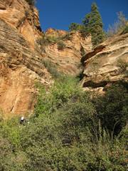
Now we’re in the Left Fork, N of the Subway. |
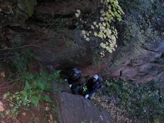
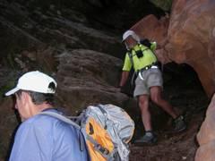
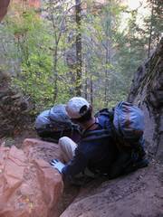
View up;, short 4th-class pitch. I was trying to decide if I should try the R or the L, when I realized my pack was hanging up. So I tossed down my pack, forgetting to take the webbing with me! I went L, and the holds were covered with wet sand-mud from the recent rains. |
So now Luba climbs up, and tries to throw webbing to me so we can haul the packs. I tied my belt around a tree and used it to help me lean over the edge, so I could catch the webbing! |
|
|
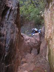
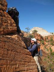
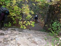
Next Ed comes up the 3rd class chute with the chockstone. |
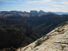
Now we are up on the plateau on the east side of the river, and have just climbed out of the wash. View ~NE. |
|
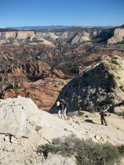
More climbing up onto the Guardian ridge. |
Rest stop before heading up the final 800’. |
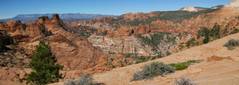
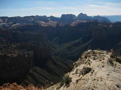
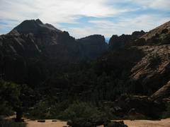
View NW from ridge; I was on some of those little peaks 11 days back. |
|
Another view SW from the ridge. |
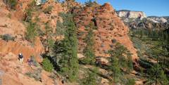
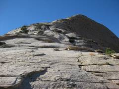
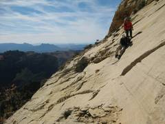
Looking up the slabs. It’s mostly class 2 from here, if you find the easier ledges. |
N Guardian is at L. |
|
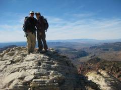
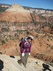
Luba and Ed, Greatheart Mesa in back. |
|
|
|
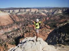
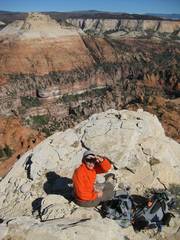
On top! |
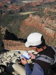
View ~W as Ed looks through the sopping-wet register. |
N Guardian at L. |
|
|
|
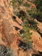
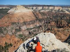
View SW over the one iffy section near the summit. |
|
|
|
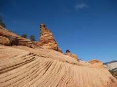
There were bizarre hoodoos all over. |
|
This little climb-down allowed us to avoid a fairly tall wall. |
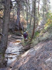
The endless wash on the plateau. |
Coming down over the chockstone. |
|
We decided to rap down over the 4th class section. |
Luba starts down. There was an odd lip, and for a moment I was sort of just hanging. |
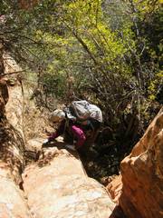
Now we are back on the other side of the river, and Luba comes up one of the funky, crumbly chutes. |
|
View back at S Guardian. |
View back at N Guardian. |
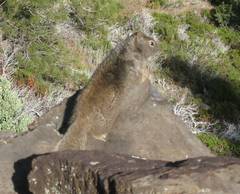
Furry friend. |