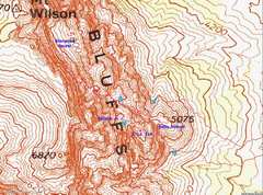
 The GPS track is not too faithful, nor is the topo map. For much of the trip, my GPS was in tight chutes or between my body and a rock wall. |
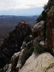
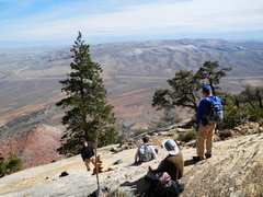
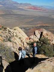
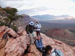
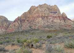 View West to Mt Wilson |
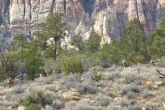
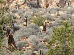 Mule deer |
 |
 Baby Wilson in back |
 |
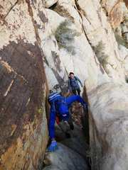 |
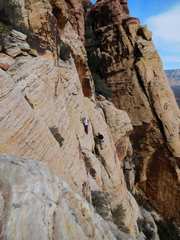
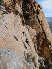
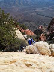
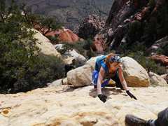
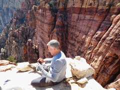
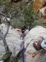
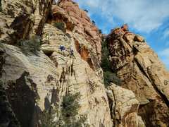 Photo by Jeff G |
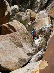
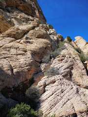
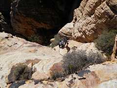
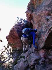
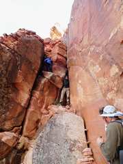
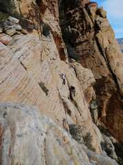 Same area as last photo, but from W. Not as bad as it looks |
 |
 |
 |
 |
 |
 |
 |
 |
 |
 |
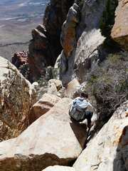
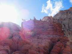
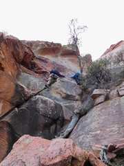
 Finally at Sherwood Forest. |
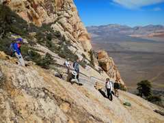 |
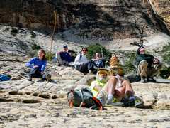 Photo by Jeff G. I'm in the yellow- green shirt |
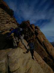
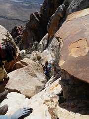
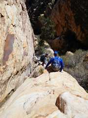
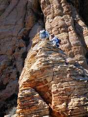
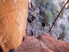
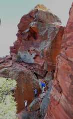
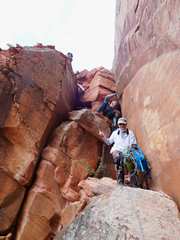
 Bruce guides folks around a corner |
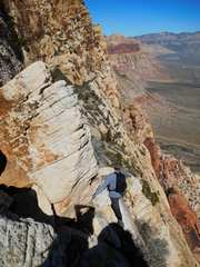 |
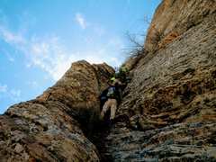 Photo by Jeff G --alternate way back |
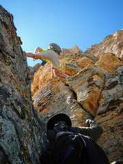 Photo by Jeff G |
 |
 |
 |
 |
 |
 |
 |
 |
 Now on to Wilson Jr |
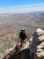
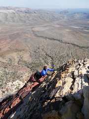
 I'm near top Wilson Jr; the summit is just big enough for 2, so I'll leave in a moment |
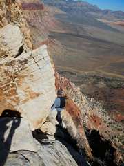
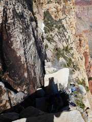
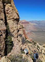
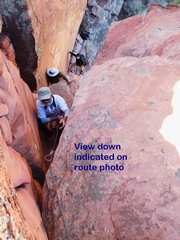
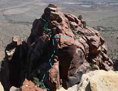 View of E La Tan; route photo as referred to below |
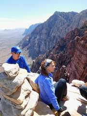
 I've dropped below summit to photo folks on top |
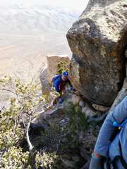
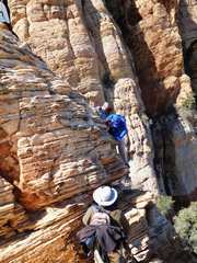 Kent descends around blind corner |
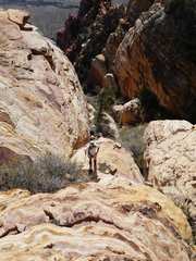
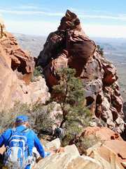 Now approaching E La Tan. I think it may have as much as 150' prominence, more than map shows |
 |
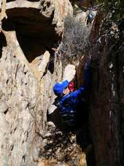
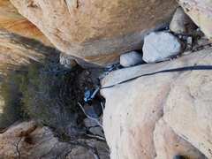
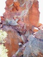
 View UP chute indicated on route photo; two successive chimneys |
 |
 |
 |
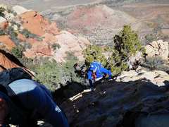
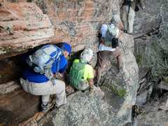
 Richard will head L soon, then back R (out of view). |
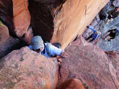
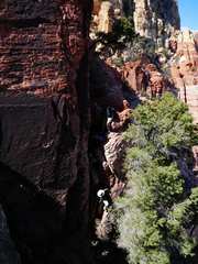 Folks descend 3rd chimney |
 Chris on final approach |
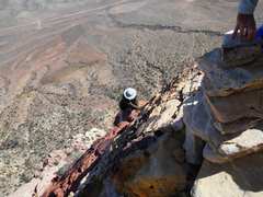
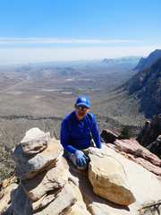
 Bruce on summit of E La Tan |
 |
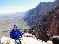
 Kent on summit |
 |
 Vania comes up |
 |
 I headed down quickly to get out of the wind. Richard put down a handline |
 Descending from top |
 down 2nd and 1st chimneys |
 |
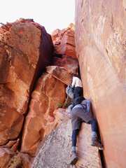
 Nasty corner |
 View back up as Vania and Jeff negotiate nasty corner |
 |
 Baby Wilson |
|