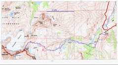
 Route overview. One leaves the South Fork trail to Brainerd Lake at or after the Willow Lake Trail, but continues up to Elinore (instead of going to Willow). |
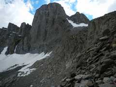
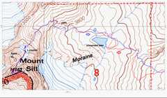 Detail of the last part of the route. Note the wall (cliffs) described above. |
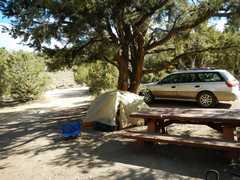 The 1st night I stayed at Grandview Campground on the White Mountain Road. Thus I had an opportunity to sleep at altitude in a quiet setting. |
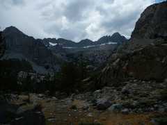 The next day I got up to the pass at 9800’ on the S Fork Trail. Sill is in the distance at R; I am about to enter a trailless area and will wind up to Elinore Lake. |
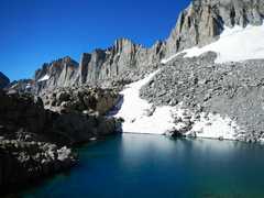
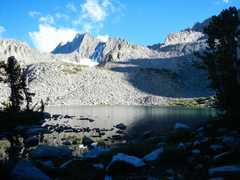 I’m now at Elinore Lake, looking to Norman Clyde Peak (and Middle Palisade at L). I started late, and ended up at the lake about 6:15PM. Phil showed up about 1.5 h later, Paul showed up after dark, and Al bivvied the night at the bottom of the last chute to the lake. |
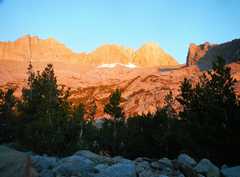 The next morn. the glow on Sill (R) was beautiful. |
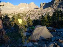 Phil captured me making coffee at ~6:30AM. |
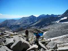
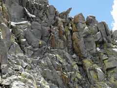
 View back SE as we pass a pinnacle. |
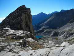
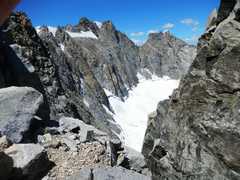
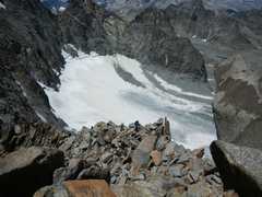
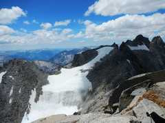
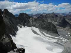
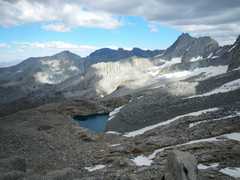
 The unnamed lake at 3730m, view toward Palisade Crest. |
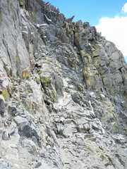
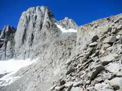 View UP at Sill and L-couloir. I’m at the top of the wall. |
 Phil and Paul arrived at the top of the wall soon after, by a slightly different route. |
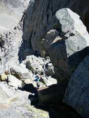
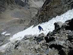 Phil comes p the L-Couloir (also called the North Couloir). Paul is at L below. My crampons and whippet and gaiters are stashed on the rocks. |
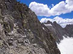
 View W (of N Palisade) from just below catwalk. |
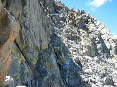 View of the catwalk ahead. One is supposed aim just R of the sharp projecting boulder. See lines for route. |
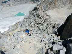
 View back down at Phil, who is near the top of short class 4. Paul is on the catwalk behind. |
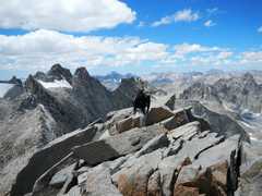
 Apex Peak in back, as Phil climbs up to ridge between Sill and Polemonium. |
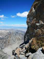 View past N cliff of Sill. |
 Phil tops the ridge between Sill and Polemonium. |
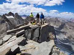
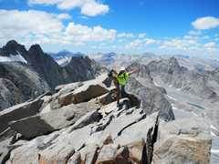 On top! View NW. |
 |
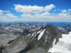 View SW. |
 |
 |
 View W. |
 |
 View (by Phil) as I prepare a fireman’s belay for Paul. |
 Close-up of belay. |
 View back at Sill as I wait at the top of the wall. |
 View of unnamed lake from the wall. |
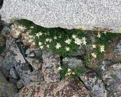 Columbines. |
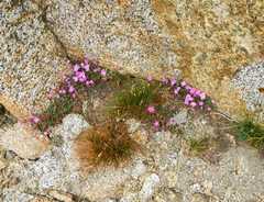 Rockfringe. |
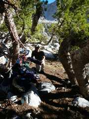 Next morn, Paul breaks camp. Hew slept on a 10 degree slope! |
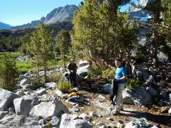 Al and Phil break camp. |