|
|
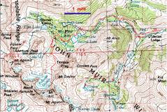
100k map of trip. We started at R near Glacier Lodge. |
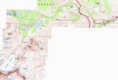
24k map. |
The 1st
eve we camped at |
|
|
|
|
|
The 1st
day, we just packed in to 3rd |
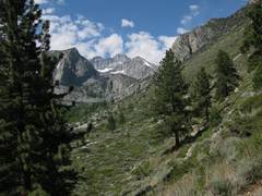
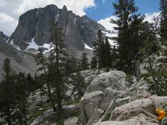
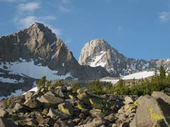
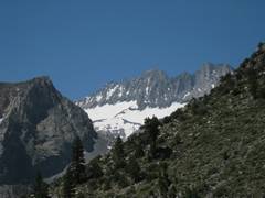
As we move up the N Fork, we look back on Middle Pallisade (far distance, at L) and Norman Clyde (R). |
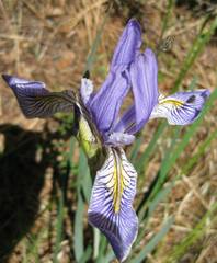
Iris. |
|
|
|
|
|
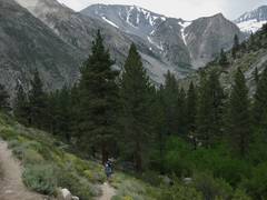
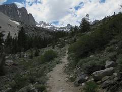
We join the backpacker’s trail. |
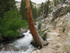
Rushing waters of the N Fork. |
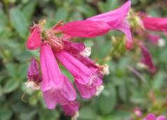
Penstemons, “Pride of the Mountain”. |
|
|
|
|
|
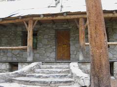
N Fork Rangers’ cabin. |
Thunderbolt appears in distance, just L of trail. |
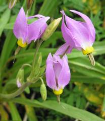
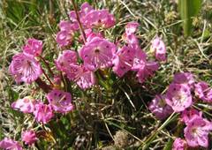
Shooting stars. |
|
|
|
|
|
|
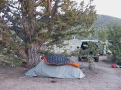
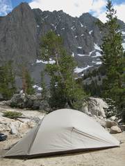
My tent at 3rd
|
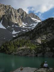
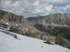
Kim looks out over
3rd |
|
|
|
|
|
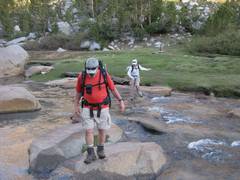
Next morn (July 2), Ali and Kim cross stream at Sam Mack, on Glacier Trail. |
Gayley on L, Sill on R. |
|
|
|
|
|
|
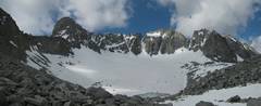
Panorama, with Gayley far L, then Sill, V and U notches with Polemonium between, N Pallisade, Starlight, and Thunderbolt at far R. |
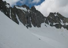
A recent avalanche is visible behind Kim. |
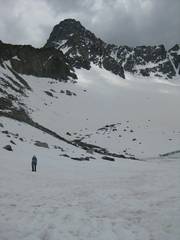
About here, on 40 degree slopes, I turned L up to Glacier Notch. The snow in the chute was at least 50 degrees. I passed a rap sling, then climbed on top of the rock and shouted down to Kim about the conditions; though only 11AM, we decided to bag it. On descent back to Kim, my butt was nearly touching the snow as I carefully self-belayed, face-first, down the slope. |
|
|
|
|
|
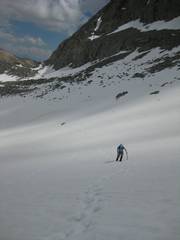
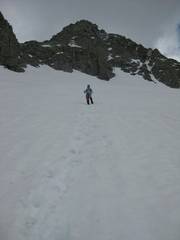
View UP. I made deep, close-placed plunge-steps so Kim could have more secure footing, and would be freed of constant self-belay. |
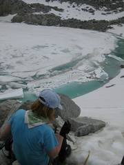
We’re about to pass this one section, where the snow rapidly steepened and gave a run-out to the icy water. |
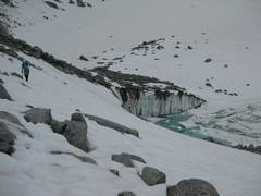
Kim has passed the worst run-out section, and is back on gentler slopes. |
|
|
|
|
|
Sill in the back. Light rain started soon after. |
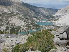
3rd through 1st Lakes. We could see Kim’s tent from here. |
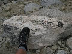
Feldspathic pegmatite vein in granite. |
|
|
|
|
|
Alpine |
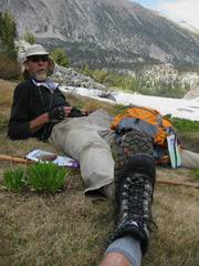
Richard B, whom we met on trip; he talked about the difficulty in getting shoes to fit his size 16 feet (my 9.5 foot for scale). |
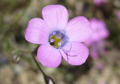
Granite Gillia. |
|
|
|
|
|
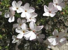
Broad-Leaf Gillia. |
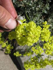
A buchwheat, probably Sulphur Flower. |
Mid Pal and Norman Clyde (R) again, on the way out, July 3. |
|
|
|
|
|
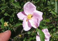
A rose not far from the backpacker parking. |
* We spent a lot of time trying to figure this
out. Kim has much more snow experience
than I do; she was wearing the same crampons that she used on |
|
|
|
|
|