|
|
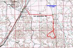
Directions for the road in are given on the BLM sites. |
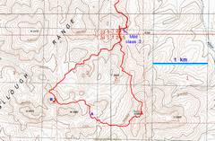
My hike. I’ll refer to the top of Sutor, and the points A and B below. |
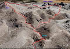
Google Earth view to the S, as from a plane. |
|
|
|
|
|
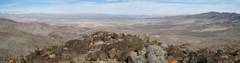
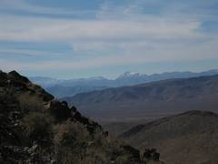
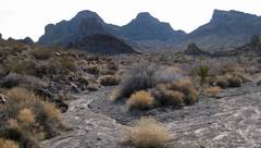
When one is about 3 miles west on the 4x4 road, the dominant peaks can be seen to the S. |
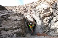
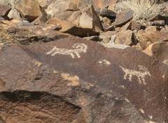
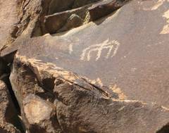
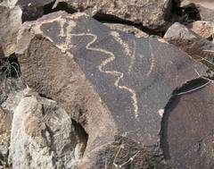
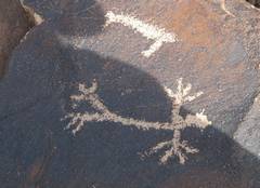
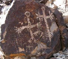
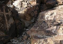
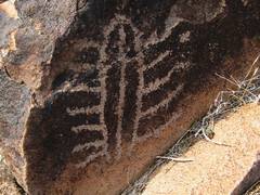
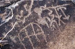
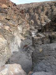
This is the most significant dryfall on the way to the glyphs. I went up the L; the rock is quite slick. |
|
|
|
|
|
|
|
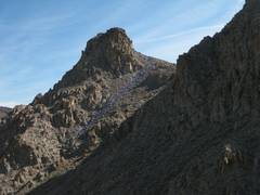
I climber a hillside to get a look at the route to Sutor (L). |
|
|
|
|
|
|
|
|
|
|
|
|
|
|
|
|
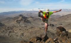
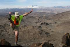
Hey I’m already on top! |
|
|
|
|
|
|
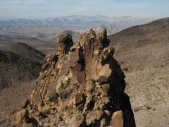
The Red Rock bluffs (Mt Wilson, etc.) are visible in the middle distance at L, and |
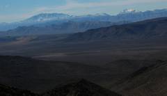
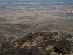
To the N stretches the vast sprawl of There is a tele of the city in a few frames. |
|
|
|
|
|
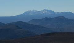
Clark Mt is at L,
and |
|
Oops, here I am again. |
|
|
|
|
|
This is a tele N. You can see the powerlines along the main access road. |
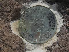
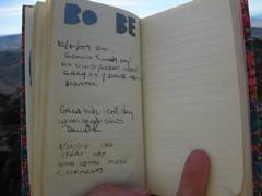
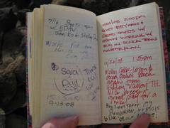
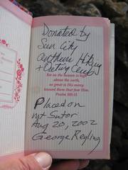
No entries, undoubtedly because there is no pencil. There were 3 non-working pens in the can. |
|
|
|
|
|
|
|
|
|
|
|
|
|
|
Descending, Devil Peak again. |
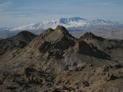
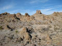
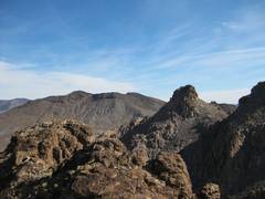
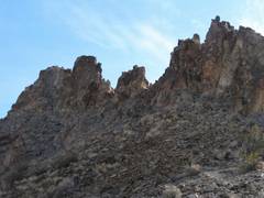
These are the crags, viewed from ~4000’ on the SW side of Sutor. |
Typical terrain as I head to point A. |
|
|
|
|
|
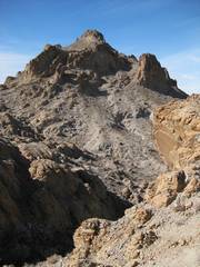
View of crags from A. |
|
Next I climb this nearly-as-high peak, to get a view of crags. |
|
|
|
|
|
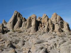
This is probably the best route up the highest crag, at least to the base of the tough section. Nearly up to B. |
From B, view ~ESE; Sutor on L. |
Crags on ridge, way down. |
|
|
|
|
|
|
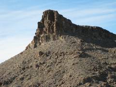
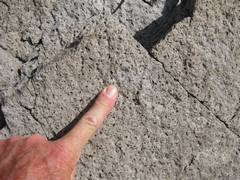
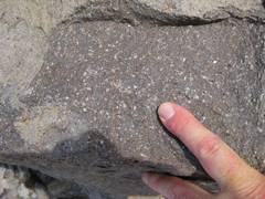
Possible andesite (or more solisic) core. |
View back at crags, on way down. The wash makes for pleasant, easy walking. |
|
|
|
|
|
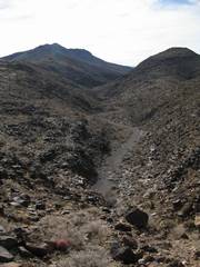
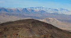
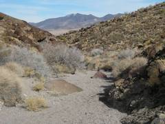
Easy wash; Black Mt in back. |
View back down a dryfall. |
|
|
|
|
|
|
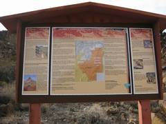
Kiosk near parking. |
|
|
|
|
|
|