Smith Mt
(
|
|
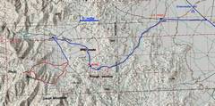
The 100k map. The blue indicates the gravel road, the red is the hike. |
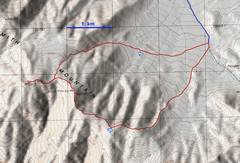
I went counter-clockwise on this loop. Class 1-2, class 3 if you insist on visiting all the granite spires. |
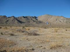
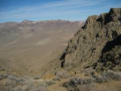
Not far from the parking, view W across sparsely-brushy terrain. If you match my route up, you will cross at least 10 shallow ravines that run SW to NE. |
|
|
|
|
|
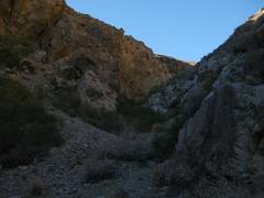
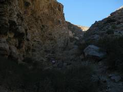
Finally in the big ravine on DPS route. |
|
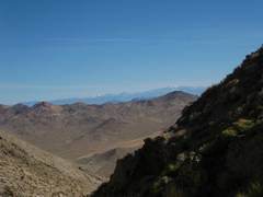
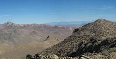
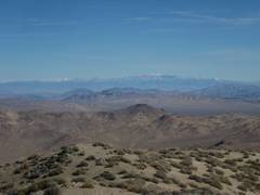
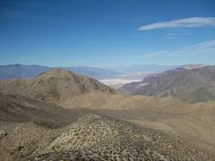
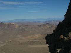
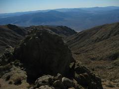
Snow-covered Spring Mts (NV) in distance. |
|
|
|
|
|
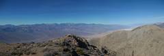
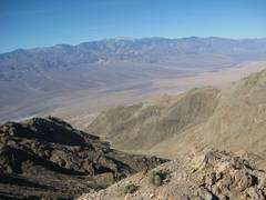
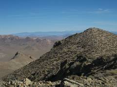
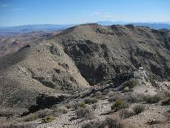
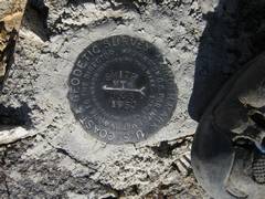
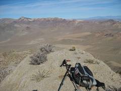
View from “top.” the west summit is slightly higher, but the east (benchmarked) summit has better views. |
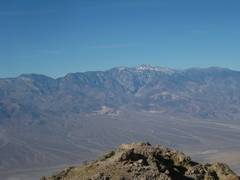
Telescope Peak
across |
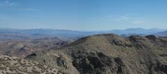
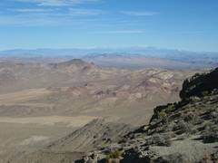
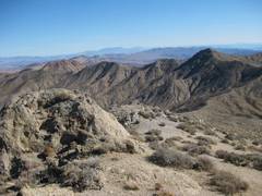
View ~NW across |
|
|
|
|
|
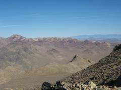
View SW. |
|
|
|
|
|
|
|
|
|
|
|
|
|
|
|
|
|
|
|
|
|
|
|
|
|
|
|
|
|
|
|
|
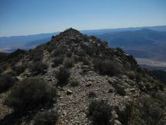
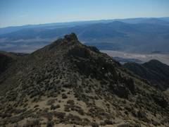
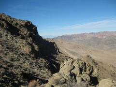
Now I’ll head for this ridge, slightly lower with 400’ prominence above the saddle. |
|
|
|
|
|
|
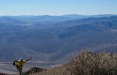
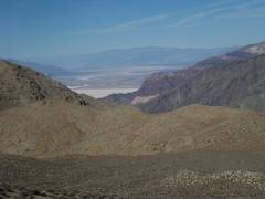
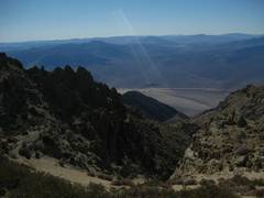
View of Badwater from next peak. |
View down into |
View back at Smith. |
|
|
|
|
|
|
|
This peak actually has one of the azimuth checks for Smith, even though it is about 1 km away. |
|
|
|
|
|
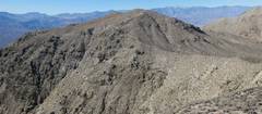
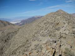
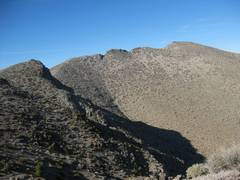
The ridge has lots of little granite nubbins, which are generally easy to climb. |
|
|
|
|
|
|
|
|
View back at the nameless peak with azimuth check benchmark. |
|
|
|
|
|
|
|
|
|
|
|
|
|
|
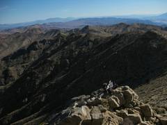
View SE |
Shortly after this point, the terrain was gentle enough for a descent to my car… without crossing ravines! |
|
|
|
|
|
|
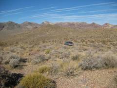
My faithful Soob awaits! |
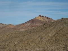
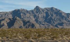
This is a neat range W of Shoshone – Sheephead Mts. |
As I drove back, I took this pic of |
|
|
|
|
|
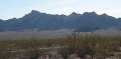
…and this one, a bit farther north. |
|
|
|
|
|
|