 First was Horse Ranch Mountain (HRM). I got weary of navigating the dryfalls in the dim light, and started following an animal trail through the woods, but eventually dropped back down. |
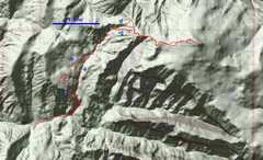
 View of a portion of route, as seen from W. (Google Earth synthetic) |
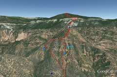
 Similar, but GE synthetic view from S. The GE digital elevation model is crude, so what looks like a reasonable slope is actually broken up by numerous cliffs. |
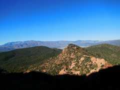
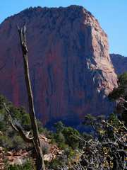
 First view of the peak. The sun had officially risen 40 minutes before, but I didn't get direct sun till 2 hours later. |
 This is NOT point 6810; I made the mistake of thinking it was |
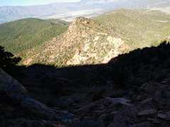 |
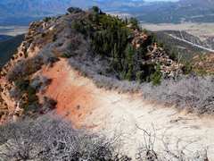
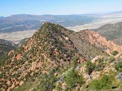
 Near point 7792; navigation is quite convoluted in this area. |
 |
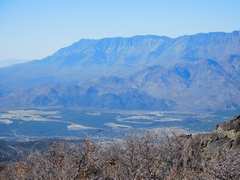
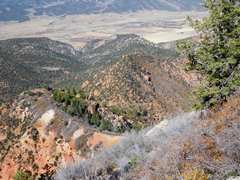
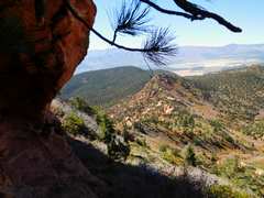
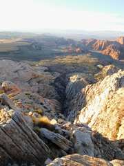
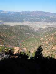 View back W to i-15 valley. |
 |
 Now we cross from 7792 via animal trail. |
 The top. I managed to use old cow paths to avoid most brush; the few places I hit brush were totally brutal |
 |
 That may be NGA |
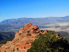
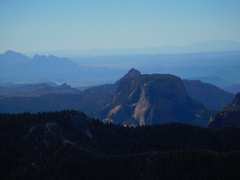
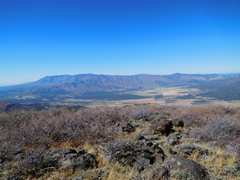
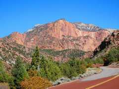
 Signal Peak/ Pine Valley Mts |
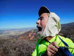 As Christina Aguilera says, I'm beautiful in every single way. |
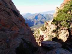
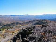
 View toward easier trespass route. |
 |
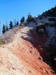
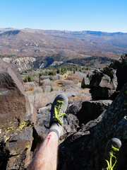
 Fun's over, time to head back down across 3rd class dirt. |
 |
 |
 |
 I guess I'll take the wash down... |
 ...but the wash isn't really a cakewalk |
 |
 Why don't he write? |
 |
 View back on HRM from Taylor Cr parking |
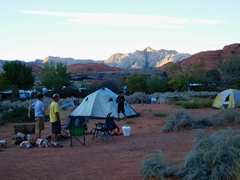 Back at camp with LVMC. I'll hit that white peak in distance next day. |
 |
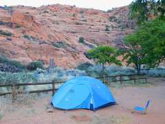 my tent. |
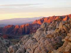
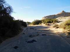
 OK, next morn I started at White Rock trail just before sunrise |
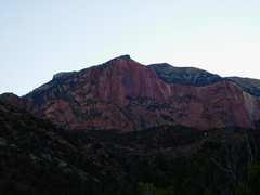
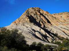
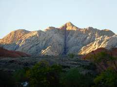 This is the peak, as seen from S, the night before at camp. |
 I found cairns on a class 2/3 ridge on Eside of the peak. The class 2 parts were on loose crud, so I usually opted to climb straight up the rock. |
 |
 We were camped down there to S. |
 Now I'm on peak 4887T, looking down the dark slot seen in the photo from campsite. |
 I tried going down this slickrock, but hit a 100' pouroff. |
 On way back... I went up the left (E) side of that ridge earlier. |
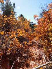
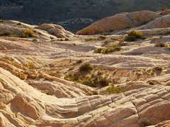
 Nice wash on way out. |
||