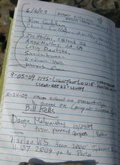
Sentinel
& Porter (CA Panamints) from the East
pics by Harlan W. S. 9000’ accumulated gain, 22 mile dayhike. Since I am from The route I took up the ridge was great – except I
don’t recommend trying to navigate the thick vegetation along the
stream by partial moonlight. I lost
about 30 minutes trying to work through incredible thick tangles of reeds and
grapevines, which were actually suspended above flowing water. Once one leaves the stream and cuts SW, the
travel is much easier. The route down, following the DPS B-route for Porter, is absolutely terrible. Since the DPS guide was written, there was a forest fire and subsequent mass-wasting, wiping out the old mule trail. In addition, the burned-over areas have filled with thick prickly plants. If you don’t need to return to the spring, and have your car near 3400’ (the junction with the South Fork of Johnson), the route shown by pink dots on the 24k map would probably be much better. Or check here, for a google earth view with the same routes, but viewed from the east. |
|
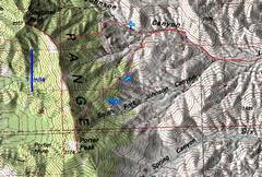
100k map of the western part of trip. |
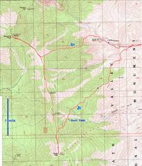
24k map. |
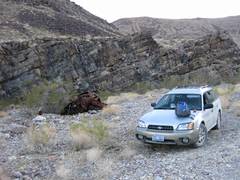
Where I parked at ~2300’; there is an old car wreck on the S side of road, and an alcove with a few tent sites. Except for a few places, this wash is too rocky for tenting |
|
|
|
|
|
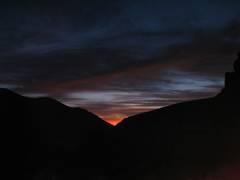
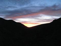
Next morn, looking E, well before sunrise. |
|
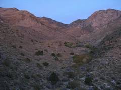
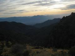
WNW up-canyon, in the dim pre-sunrise light. |
|
|
|
|
|
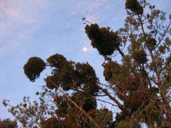
Moon through mistletoe. |
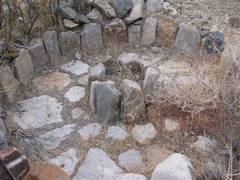
Part of Hungry Bill’s ranch. I saw grape vines and fig trees, though since they are no longer irrigated, they are a bit worse for the wear. |
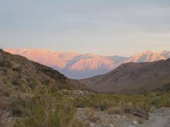
The sun rises enough to bathe the W canyon in reddish light. |
|
|
|
|
|
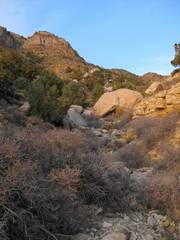
I cut up this gully, and mounted the ridge. |
I’m looking
back E across |
Before the trip, I perused Google Earth satellite photos, and chose to avoid this cliffy ridge to the S. |
|
|
|
|
|
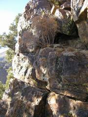
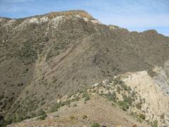
My ridge was punctuated with short cliffs that one could generally walk around. |
The single 15’ class 3, on good quartzite; I think even this could be carefully avoided by a traverse on the N. |
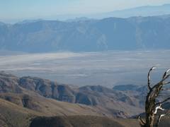
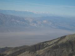
View across DV, with Bat Mountain in the back (characteristic steep L face). |
|
|
|
|
|
Now I’m at ~8800’, on the ridge connecting Sentinel to Porter, looking N. At L is Sentinel; at R is Telescope Peak. |
Park Service monument. |
As I close in on Sentinel, I realize I must drop 300’ before the climb. |
|
|
|
|
|
|
Just before top of Sentinel. View S to Porter (L side). |
|
|
|
|
|
|
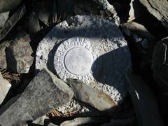
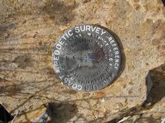
Geodetic Survey “Panamint” benchmark. |
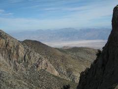
View S across summit. The peak on R looks at least as high. |
CA Sierra are to W. |
|
|
|
|
|
Telescope in back. |
|
|
|
|
|
|
|
|
Read Rick Kent’s comments and then check this. |
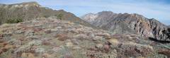
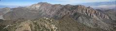
Panorama, roughly N. |
|
|
|
|
|
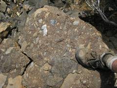
Funky basalts with swept up pieces of debris. |
|
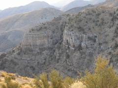
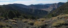
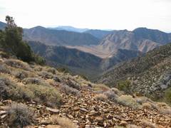
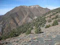
View S after I got back on ridge. The 8100’ peak at R looks more impressive than either of my two goals, but is unnamed. |
|
|
|
|
|
View back at Sentinel. |
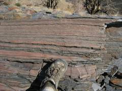
There was a lot of slaty rock, which actually consisted of partly metamorphosed thin layers of muddy rock, separating quartzites. The rock tended to break along the slaty layers, giving the impression of more true slate than there really was. |
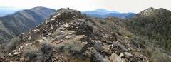
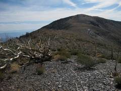
I approach the lump of Porter. |
|
|
|
|
|
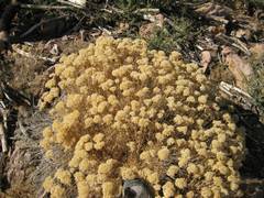
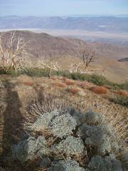
Looks like a buckwheat. |
|
|
|
|
|
|
|
|
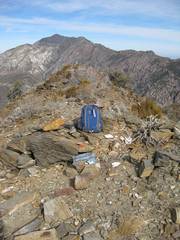
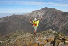
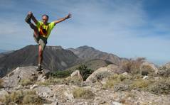
Arrogance on Porter. |
View N from Porter. |
|
|
|
|
|
This was the first
pic I took after my horrible talus traverse along DPS “B”.
I’m going to head down this ridge and drop L into the N fork of |
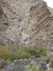
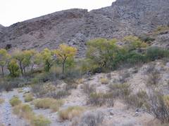
Finally back at Johnson Cr, where I can refill my water bottles. See the thick foliage? You want to stay out of there at all costs. |
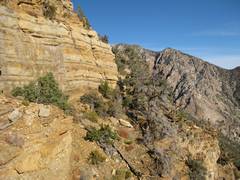
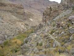
Follow the trail, even if it climbs over cliffs. |
|
|
|
|
|
|
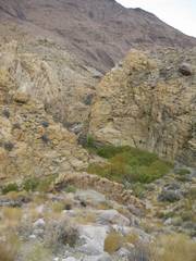
An old grinding mill. |
This campsite is on the hill at ~3700’, below a spring. |
|
|
|
|
|
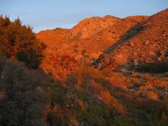
At about 4:40PM, the setting sun casts a glow on the Black Mountains to the east. |
|
|
|
|
|
|
