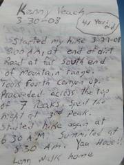
|
|
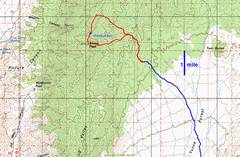
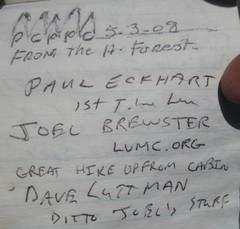
From Corn Creek,
take the Mormon Well road 15 miles, then cut NNW on
the signed |
Most of the route uo is fairly clear, There is some brush for the first 0.5 mile. Much of the way is through open ponderosa pine forests. |
|
|
|
|
|
|
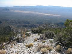
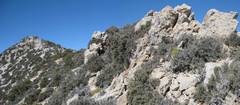
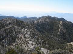
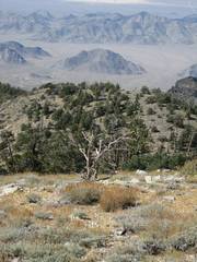
High up, pine forests give way to sparse juniper and pinyon. View SE. |
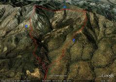
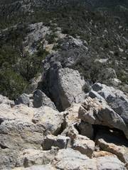
I climbed this; we should avoid it. |
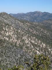
A 9600’ nubbin is at left. We should stay L (S) of the crags at right, by traversing the slope. |
|
|
|
|
|
|
|
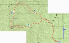
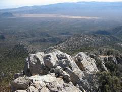
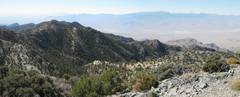
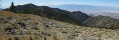
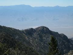
View toward Spring
Mts. from |
|
|
|
|
|
|
|
|
|
|
|
|
|
|
|
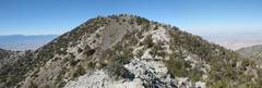
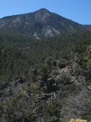
Mummy is the mass at L; McFarland at R. |
|
|
|
|
|
|
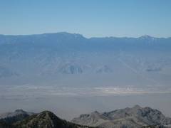
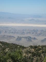
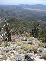
We would see Vegas to S, if it were not so dusty, |
View N to Hayford. |
|
|
|
|
|
View SW, from the 9678 peak N of Sheep. |
Hayford from Same peak. |
Nubbins to SW. |
|
|
|
|
|
|
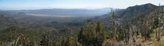
SW to Spring Mts. |
Pano E-SE from 9678 peak. |
|
|
|
|
|
Nubbins to W. |
Starting down ridge E of 9678’ peak. |
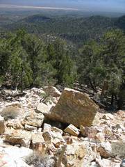
Part of this descent has tricky quartzite blocks; usually one can cut slightly west to avoid them. |
|
|
|
|
|
View back toward Sheep on descent (actually a false peak before Sheep). |
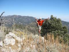
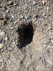
Who lives here? |
|
|
|
|
|