|
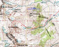
GPS trace on 100k map. |
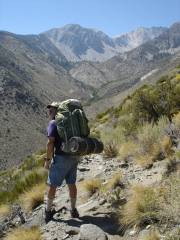
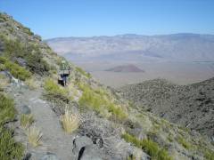
Starting up the Red Lake trail. Split is visible on the right in far distance. |
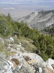
View back E, as Joel escapes the jungle. |
|
|
|
|
|
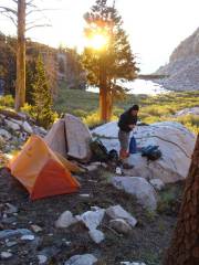
View E to Little Red Lake (our camp area) just after sunrise, about 7AM the next day. Paul, Nick, Sergio and Joel started off a little earlier. Bruce and I lollygagged. |
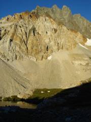
East face of Split, viewed across Red Lake. The lighter rocks are typical igneous Sierra granitoids; the darker rocks are altered sedimentary roof pendants. |
View back SE across Red Lake. The day started off very hazy, with dust or smoke filling the Owens Valley (distance). |
|
|
|
|
|
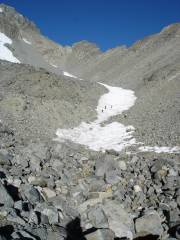
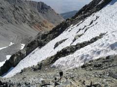
L to R: Joel, Paul and Nick on snow; Sergio on rocks (white shirt). The pink cast to the snow is caused by the algae Chamydomonas. |
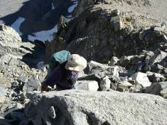
Near the ridge, Bruce and I went high to avoid launching loose talus on our comrades. |
Paul pops over the E lip of the gully. Mt. Tinemaha in back. |
|
|
|
|
|
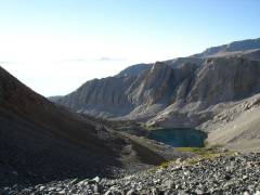
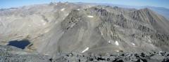
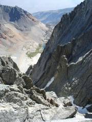
View E to Red Lake from top of a couloir, perhaps at 13500' |
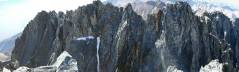
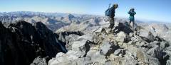
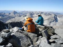
From Summit, view N to Palisades. |
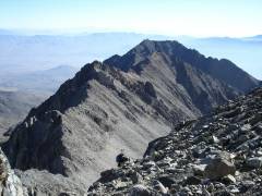
View S to rugged south summit. |
|
|
|
|
|
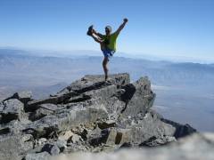
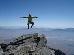
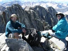
Self-portrait, standard pose. |
Pano west, with Paul and Bruce on top. I wanted to get a group shot, but people kept leaving to get out of the wind. |
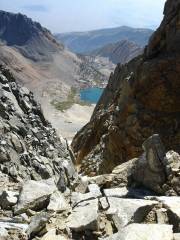
View E down the couloir that "splits" the mountain. Red Lake peeks around the corner. |
|
|
|
|
|
While I pose for a self-portarit, the USGS once again adjusts the geoid, throwing me off balance. |
|
|
|
|
|
|
|
|
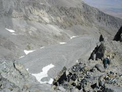
Rock glacier to NE. |
Later that day, the long, dry pack out. A red volcanic cone is to E. |
|
|
|
|