|
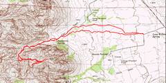
GPS trace. |
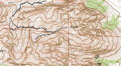
detail of GPS trace. |
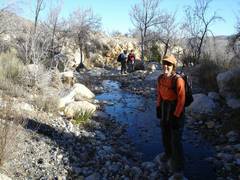
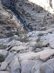
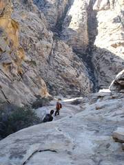
This is a very dry fall, yet there was still flowing water in lower Sandstone Canyon. |
|
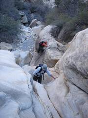
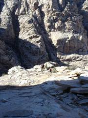
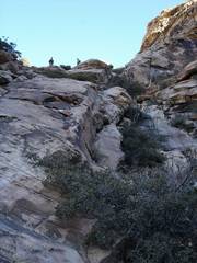
Bouldering SW up an offshoot of SS Canyon. |
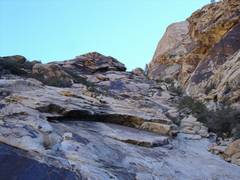
Now we take a ramp SE. |
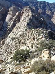
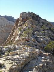
View up and ESE -- aim for this notch. |
|
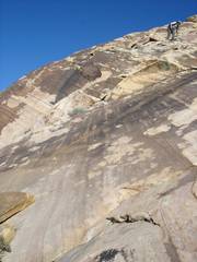
View WNW and down the ramp. It's much steeper than it looks. |
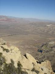
Spring Mtn. Ranch from the summit of Sandstone. |
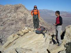
Mark calls Chaz to give him the good news. Indecision in background; decision in foreground. |
|
View west to "Fork Peak" |
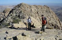
Mark and Luba give their impressions of the new FAA "Right Turn" decision. |
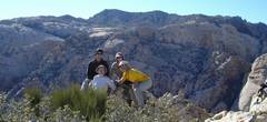
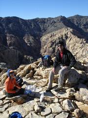
Weird group summit photo.We found remnants of decayed register, but no note-pad of names, so I left a standard OPS register. |
|
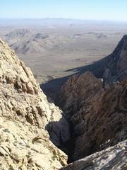
Cerebellum Check above the abyss. |
The abyss, vertical panorama. Monument and Hidden Peaks are in the background. |
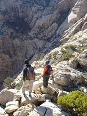
Heading west over to Fork Peak. We thought of adding an "os" to the name (Fork Peakos, ForkUnix Peak, etc.). |
|
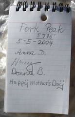
The register on Fork Peak was in remarkably good shape, despite the simple container. |
View W from Fork. |
View E. |
|
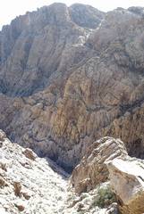
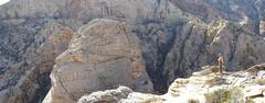
View SW. The tower in the middle-left of photo has ~200' relief, and makes a traverse from the ridge very difficult. |
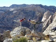
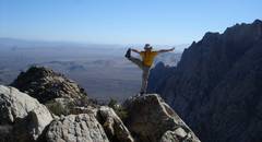
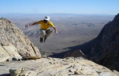
View SE. Self-portrait. |
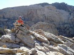
Luba liked this cairn. |
|
View back E to Sandstone Peak. |
View back W to Fork Peak. |
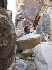
Descending via the crack. |
 |
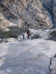
In this and the next 5 photos... it's steeper than it looks! |
 |
|
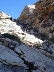
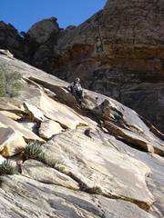
This is a view looking UP. The ss ramp is steep -- a little too steep. |
View down the ramp. |
View up the ramp. |
|
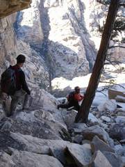
We stayed in the gully longer on descent, and Mark found a better route down to the wash. |
*Access: according to the Clark County Assessors office, this route goes accross NO private land. The first part is BLM land, the middle is state land, and the west is BLM Red Rock Conservation Area. The only trespassing signs -- which one never need cross -- are on the S-facing side of the fences directly S of Spring Mountain Ranch (state land). We saw other hikers on the state land. Three years ago, there was evidence of recent cattle-grazing, but no longer. Nonetheless, keep your distance from Spring Mountain Ranch, and walk lightly. |
|