|
|
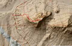
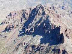
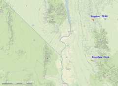 Location map. Both peaks can be done as a dayhike from Vegas, if you are in decent shape. Be warned that it may take well over an hour to drive between them. |
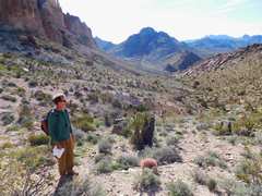
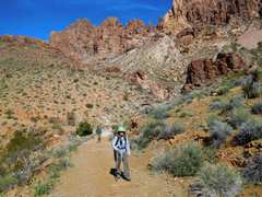
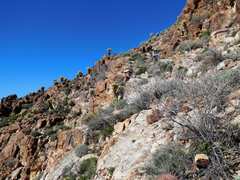
 The hike to Sugarloaf starts on very eroded spur off the old Kingman Highway. |
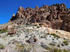
 Leave the spur road for the gully/wash to N |
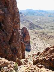
 View SSE down the wash |
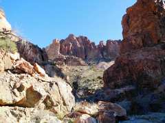
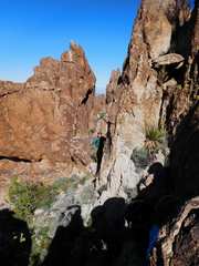
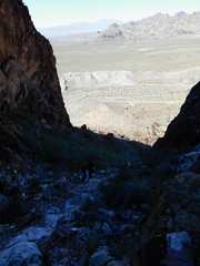
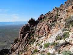
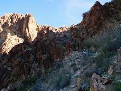
 After the saddle, head NE to the base of the Magic Chute |
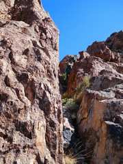
 The toughest part of the chute is near the base, where there are a few big boulders and loose debris. The trees in the chute are scrub oak, catclaws and juniper. |
 View back NW; the top of the chute is just R of the pinnacle at L. |
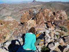
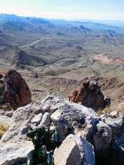 The top had at least 15 old champagne or spumanti bottles |
 |
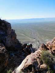
 View N as Tracy comes up |
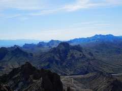
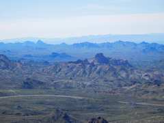
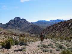
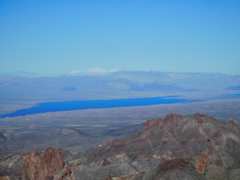 View NW over Lake Mojave to Potosi |
 |
 |
 |
 |
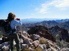
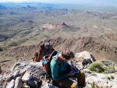
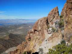
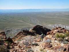
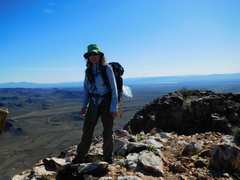
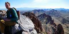 View mainly SE from summit |
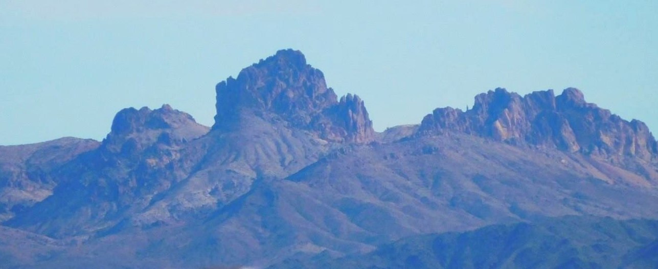
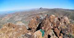
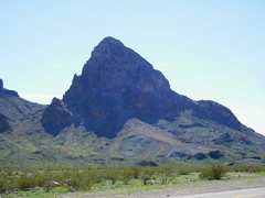
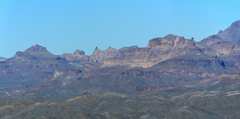
 Boundary Cone is the dominant peak at L, 2nd ridge. |
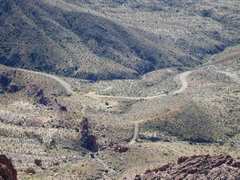 Our cars |
 A chute near the summit (on W side). I'm looking up, so it is steeper than it seems. |
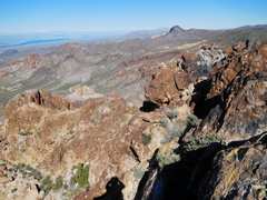
 View S |
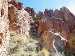
 another chute |
 |
 |
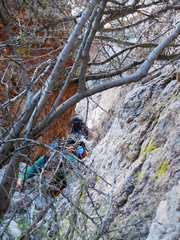
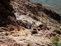
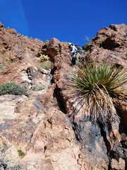
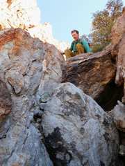 This a semi-crux right above the tight chimney, and to NE; the base is flared, tougher for short folk |
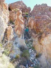
 View back down through Magic Chute, just before tight chimney |
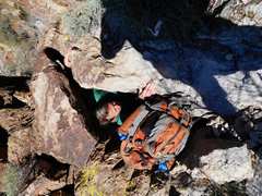 Tracy struggles to push his 6'7" frame through the tight chimney |
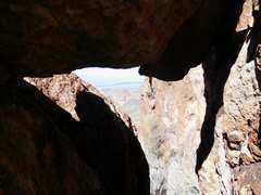 View NW from inside tight chimney |
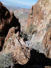
 View back to NE as we head down |
 |
 |
 Tracy had get back home, so Anji and I went around to Boundary Cone. We reached the summit in less than an hour. |
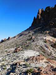
 The cone as seen from the N. One heads up the talus sunlit slope to the saddle. then L |
 |
 |
 View W, just above saddle |
 |
 |
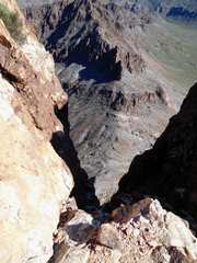 Near top is a vertiginous view on SE side |
 View ~N to Battleship |
 View S |
 View ESE |
 Back down, carefully avoiding fallen "buds" from jumping cholla |
 |
 This is the class 3 crux, again steeper than it looks |
 |