Another
Turtlehead by East (Near Red Rock, NV)
pics by Harlan W.
S. This is the only way to go Turtlehead, unless you are out
for exercise. You have to take the official trail for just a short time. The
East side is off-and-on class 3, with many dryfalls
for fun and negotiation. Expect 8.4
miles, 3200’ accumulated elevation gain, and no scenic loop to rattle
your patience. I took 3h 15 m moving time. Do this in cool weather ONLY. |
|
The figure captions are keyed to the numbers 0-9, with approximate locations. |
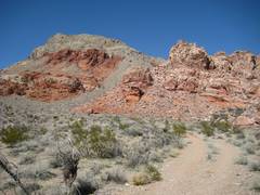
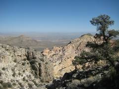
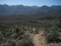
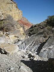
View NW near 0. |
View NW near 1. |
|
|
|
|
|
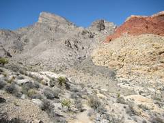
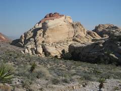
View NW near 2. |
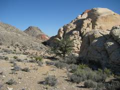
Looking up, just E of 3. |
Looking ESE, just below 3. |
|
|
|
|
|
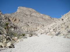
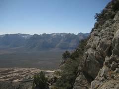
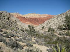
View ESE from 3. |
View WSW from 4/ |
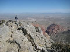
View SE from summit. |
|
|
|
|
|
SE on trail. near 5. |
View SE from 6. |
View ESE from 7. |
|
|
|
|
|
|
View E, from just W of 2. |
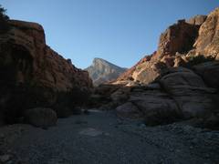
Just W of 9, view E. |
|
|
|
|
|
Near 9. |
|
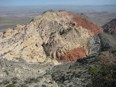
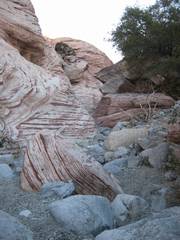
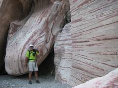
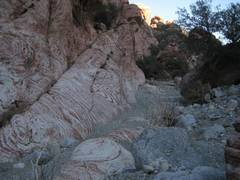
Funky rock swirls near 9. |
|
|
|
|
|
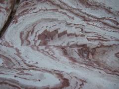
Funky fracture patterns. |
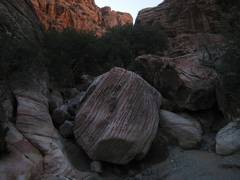
Back WNW to Turtlehead, just E of 9. |
Watch those hang gliders! |
|
|
|
|