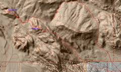
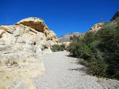
 We went counterclockwise from the Kraft lot. Notice how the new LIDAR elevation data makes the terrain on the east and south much more detailed. |
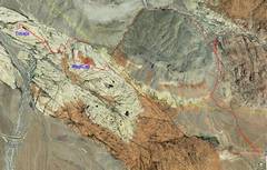 Here's the same route on Google earth |
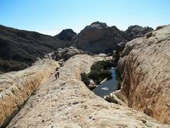
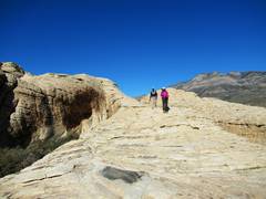
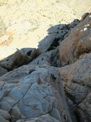
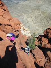
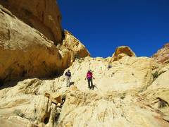
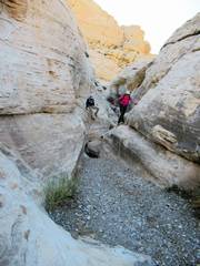 Barb and Judy negotiate some potholes west of RedCap |
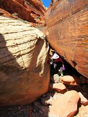
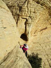 The only class 4 on Tinaja |
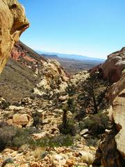
 RedCap in Back to east |
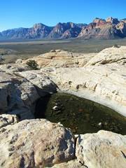 Big Sandstone Peaks in distance |
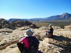 Chillin' on Tinaja Pk |
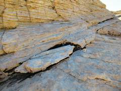
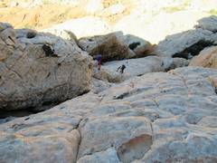
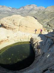 The east-most Tinaja. There is a 150' gap between where Barb and Judy stand and that "boulder"... |
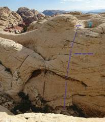 2 years back, and I'm on the "boulder" which is actually another peak. The tinaja from previous picture is shown. I've rapped off this side 2x, last time 4 months before... |
 ...using this rock as anchor for a 5000lb dyneema sling. I don't know why someone took the sling; maybe overly LNT, or couldn't find a pine tree to cut down. This anchor is out-of-the-way, so I'm guessing it was someone who reads my Facebook feed. |
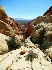
 heading back down |
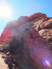
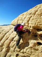 Barb on the crux |
 |
 Now up the traditional route to RedCap; |
 |
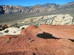 |
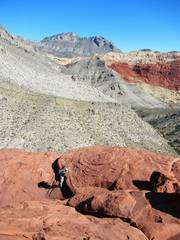
 I forgot to take pictures on summit, so now we head down the east side of RedCap |
 |
 |
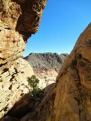 We took one of my obscure ways down. |
 We will drop into Ash Canyon |
 |
 |
 |