Tipton Peak, AZ, 7146'
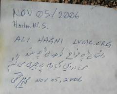
Pics by Harlan W.S. & M. Ali H.
Nov. 05, 2006 |
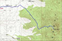
This is an obscure DPS summit, SE of Hoover Dam. Take route 93 for 42 miles SSE from the dam, to mile marker 42. Take a left (east) onto Pierce Ferry Road. Take Pierce Ferry ~1.4 miles NE, then take a right (east) on 5th Street. Take 5th for ~4.5 miles east, then take the left turn ENE, eventually going through an unlocked gate (please close the gate after you pass), and stop at the locked gate. The last stop is called the "2WD parking area" in the DPS guide; the road has apparently deteriorated quite a bit, and I had to drive slowly in my Subaru Outback, and still bounced a few rocks off the front skid plate.
The summitpost article is pretty good; the DPS guide (as of Nov. 2006) is dated, particularly with respect to road access.
Some WGS84 GPS files, which you can use at your own risk:
A <500 point track (text) for upload to a GPS as a track is here (Maptech txf format).
The same track, with a few waypoints, as a gpx file, is here.
Here are just the waypoints, as text (Maptech mxf format).
Here is a program that will convert among gps formats.
|
|
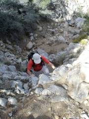
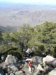
In the wash, ~5000' |
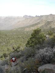
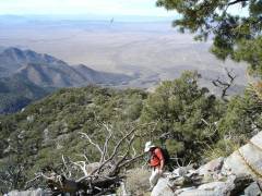
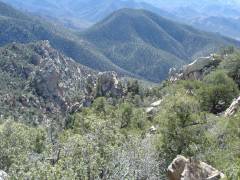
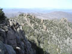
View N from ridge, ~5600'. |
|
|
|
|
|
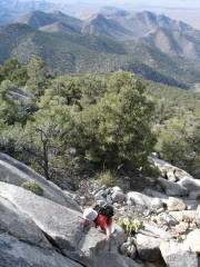
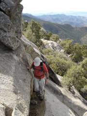
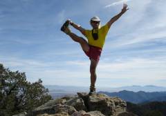
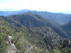
On ridge, view SW |
|
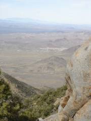
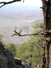
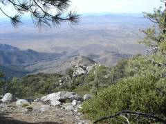
View NW to Dolan Springs, AZ.
The Charleston Range is in the distance at left. |
|
|
|
|
|
|
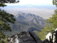
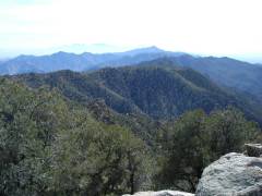
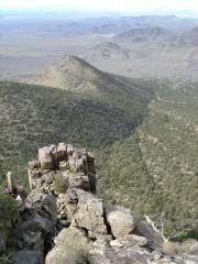
View SW. Peak on skyline is Spirit Mountain. |
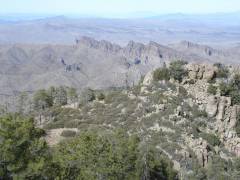
Near 7000', view NW. |
|
|
|
|
|
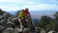
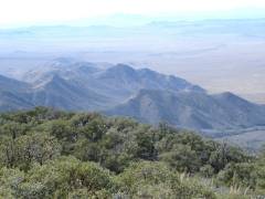
View S from summit; Hualapi Mts. in far distance. |
|
|
|
|
|
|
|

|
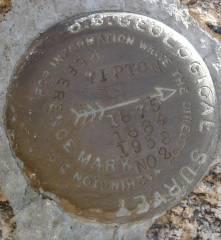
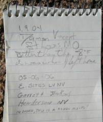
This is a USGS benchmark… |

Note signature by Barbara L. |
|
|
|
|
|
|
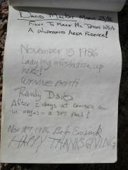
Signature by W.B., editor of Spotted Dog Press, who filed this report. |
|
|
|
|
|
|
|
|
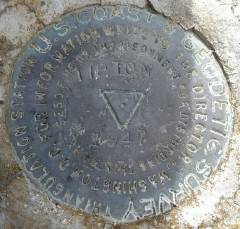
…and this is a US Geodetic Survey benchmark (the main survey point is not by the USGS!). |
|
|
|
|
|
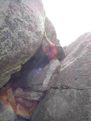
Wynne's S route from summit? |
N from summit. |
|
|
|
|
|
|
|
|
|
|
|
|
|
|
|
|
|
|
|
|
|
|
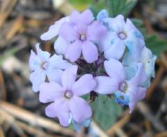
Verbena. |
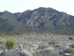
View SE to peak, from ~4000'. |
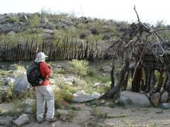
Old prospect; remains of a sluice were nearby. |
|
|
|
|