Trumbull
and
pics by Harlan W. S. Frankly, I don’t think Each of the LVMC Classic Peaks requires
something
special for success. Before
going to But I enjoyed the trip. Joel and I had been up Road Conditions – they were excellent, mainly
because we went after the road had a chance to dry. The road, from St George to the ghost town
of |
|
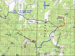
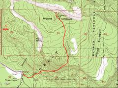
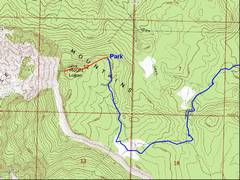
100k map with roads and hikes (red). |
The all the way, but the top is faint and marked with Visible under snow. |
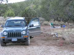
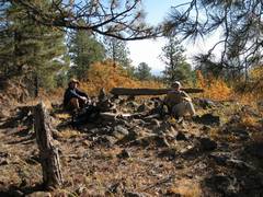
Our campsite at the
right across from the Nixon Springs Ranger Station |
|
|
|
|
|
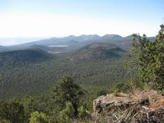
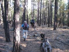
Some of the best
views from are on the way up, as one looks back SSE at the volcanic craters. |
|
The top of |
|
|
|
|
|
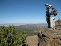
…there is a nice viewpoint on the N side of the peak (view E). |
In good weather, you can drive within 0.5 miles of the top of
|
|
|
|
|
|
|
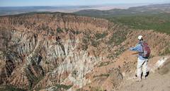
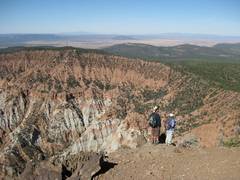
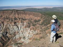
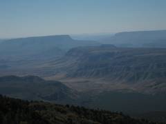
The intrepids view “Hell Hole: to the W. |
|
|
|
|
|
|
|
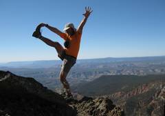
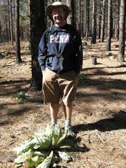
Ta da! 50 Classic Peaks, fait accompli. |
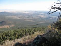
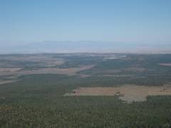
View N toward Signal Peak is distance. Potato Valley is the foreground. |
View SSW to bend in
|
|
|
|
|
|
|
|
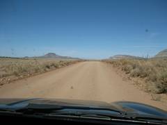
The road out, back toward St. George. |
|
|
|
|