(not to be confused with Arc Dome) via Cove RidgePics by
Harlan W. S. & Wally PJ |
You won't find a register book on Toiyabe Dome -- and if you did, chances are it would
contain very few signatures. The "normal" route up
Click on any small image below to see
the corresponding large image.
|
GPS trace. For God sakes man, take the northern route. |
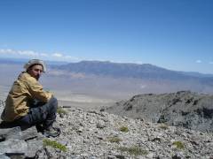
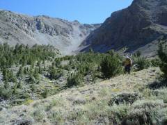
The day before, we scout out |
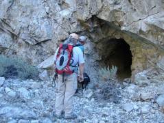
A mine is a terrible thing to waste. |
|
|
|
|
|
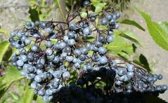
Elderberries. |
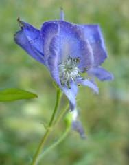
Monkshood. |
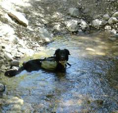
Wet dog. Snoopy later had an adventure with ground squirrel to my hand; the upshot was 7 days of antibiotics for me. |
|
|
|
|
|
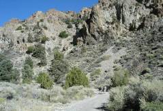
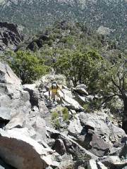
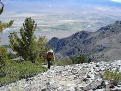
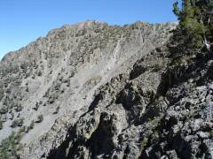
Next day. The starting stretch is quite steep and undoggable. |
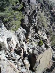
More steep stuff, human below. |
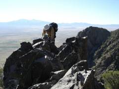
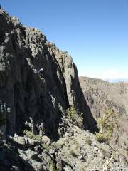
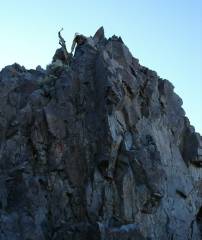
Walter tops out on a knife edge. |
|
|
|
|
|
Joel and Mike on the knife edge. Suddenly, a dead tree jumps in the way. |
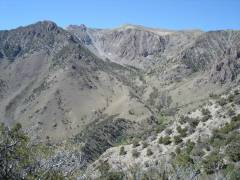
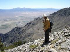
Our goal looms into view -- a
gentle hill on the end of a very rugged |
Ali comes up. |
|
|
|
|
|
|
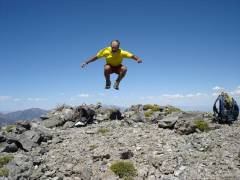
Walter eats an apple, auditioning for the part ceded by Luba. |
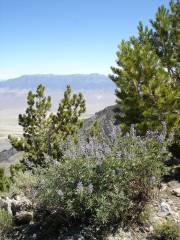
Lupines and |
|
|
|
|
|
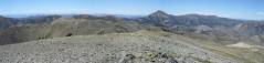
S-centered panorama from top. |
W-centered panorama from top. Arc Dome is the prominent peak right of center. |
Walter and Jefferson |
|
|
|
|
|
I am suddenly thrown off balance as the USGS adjusts the elevation of the peak. |
Our experimental route down -- Walter on some very hairy cliffs. |
I turned the camera 120 degrees to the right to take this photo. |
|
|
|
|
|
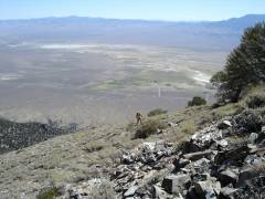
Finally at the bottom of the talus, we look back at the eastern dome. |
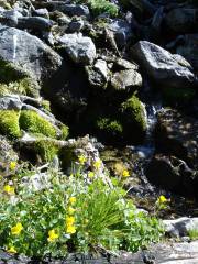
Water! |
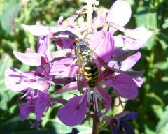
Bee on fireweed. |
|
|
|
|
|
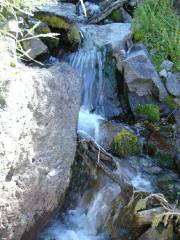
More water! About this point, you will start walking in the water to avoid brush. |
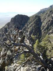
~6:30PM, Walter climbs down the last of the knife edge. |
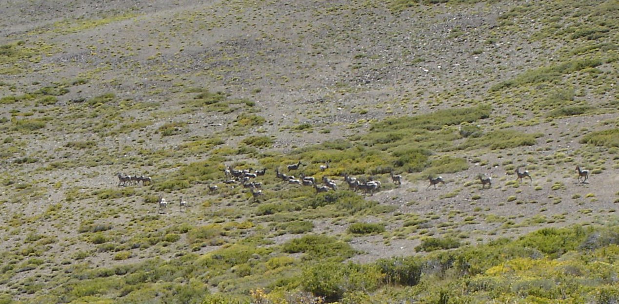
OOPS! Almost forgot this picture of a herd of bighorns at 11,000'. |
|
|
|
|
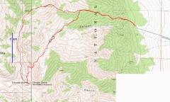
The acceptable Cove
route -- about 4.75 miles, >5500' accumulated elevation gain -- is the
northern red GPS trace on the map above. The start of the trip is a rough,
unobvious dirt road that turns W though a gate, perhaps 1.8 miles north of the
town of
The first part of the Cove ridge
route is class 2-3, and is very
steep. This initial section proved unsuitable for Snoopy, who was wearing
low-traction dog booties, so Howard took Snoopy back to the car. Other folks
labored on till they had finished 4300' of net elevation gain -- mind you, they
had climbed Boundary and Montgomery the day before, and gotten 5 hours sleep
for two nights previous -- and said "this huge fun doesn't justify coming
down the knife edge in the dark". That left Walter and me to help Joel win
a bet with Mike, so Joel would be able to pay for two new tires. (Walter had
also climbed Boundary and
The route down into