|
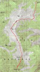
GPS trace on map. We took varied routes near the top, to get around snow drifts. |
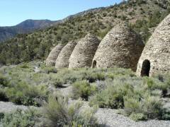
Charcoal kilns, Steve and Alda for scale. |
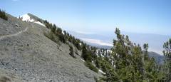
Camp, ~6:30 AM. We had a view of Death Valley and Charleston Peak. |
|
|
|
|
|
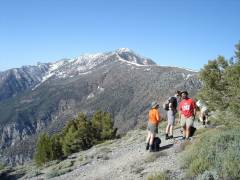
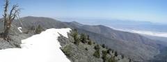
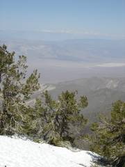
First rest stop, view SSW to Telescope Peak. |
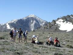
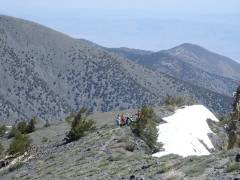
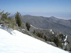
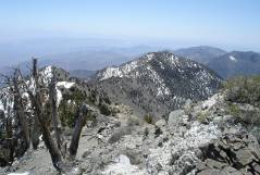
2nd rest stop, just S of Rogers Peak. View S to Telescope. |
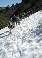
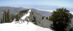
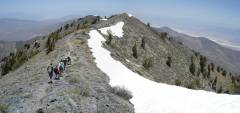
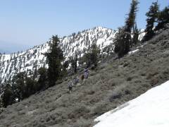
Gretchen leads hoi polloi across the first snow. View NE. |
|
|
|
|
|
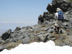
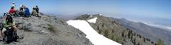
Snow bank on the summit ridge. The group is visible in distance. View N. Death Valley is at right. |
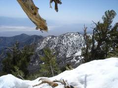
Random view SE. |
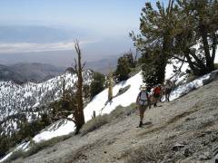
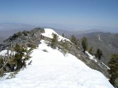
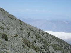
3rd Rest stop, view ~NNE. The ridge at left is on the S side of Rogers Peak; the lower part of the trail is visible as a faint diagonal line on that ridge. |
|
|
|
|
|
Looking at Sierras, view NW. |
Trudging up the snow bank. |
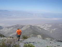
More trudging, view SE. |
|
|
|
|
|
View N, nearing the "last" false summit. |
Steve and view NW to Sierras. |
|
|
|
|
|
|
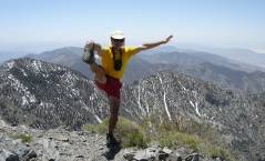
Looking W, Alda shows off her LVMC shirt. |
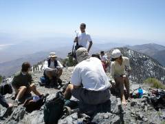
Mike pontificates, view SE. |
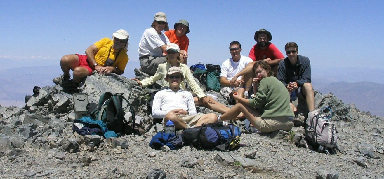
Panorama from summit, to N. |
|
|
|
|
|
|
I wandered down ~100' below the summit and took this shot S. There is a quartz "vein" to right. Most of the way, the rocks were lightly metamorphosed, vaguely pellitic (shaly), with green epidote on some surfaces. |
The group leaves the summit and heads N. Death Valley at right. |
|
|
|
|
|
I turn around and look back S at the summit. The pointy things on top are people. |
View S as group heads back. |
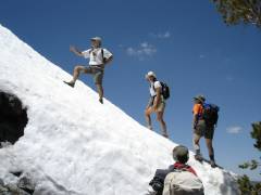
Brett fearlessly leads us up the kick-step route. Fiona and Alda look on, duly impressed. |
|
|
|
|
|
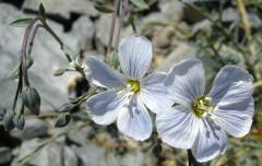
Blue flax. |
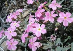
Pink phlox. (Yellow moons! Green Clovers!) |
Heading back on S side of Rogers Peak. Snow-covered Charleston Peak (NV) is visible on skyline at right.* |
|
|
|
|
|
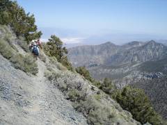
More of the trail on S side of Rogers. |
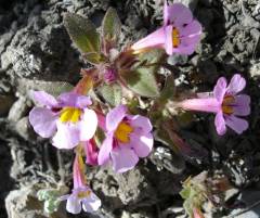
Monkeyflowers. |
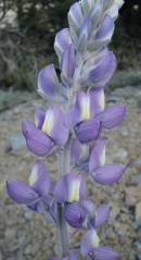
Lupine. |
|
|
|
|
|
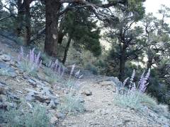
Purple lupines on trail, ~0.25 miles from campground. Almost back! |
|
|
|
|
|
|
