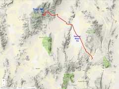
 The dirt roads are long but good, except the last few miles... |
 ...here's where the roads get nasty |
 We originally planned to hit Peaks to the S, but realized that might put us in dark for the drive on dirt. I'm sure there is a better approach from ENE |
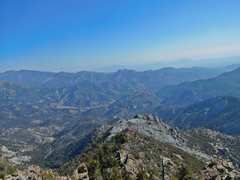
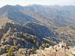
 Here is the view N in 2012, from range highpoint (10185') |
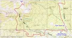
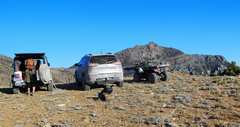 Where we parked |
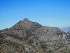
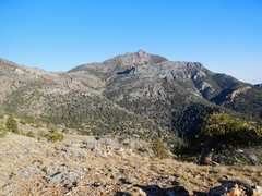 That's the peak |
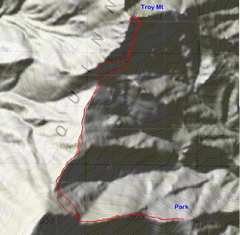
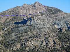 Our route. It isn't useful to take the W ridge, as it ends in a cliff. |
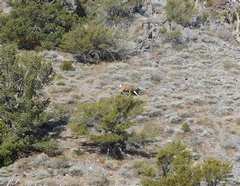 deer |
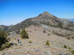
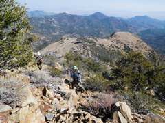
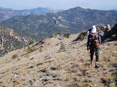
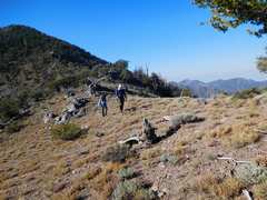 Anji and Tracy head N to base of peak |
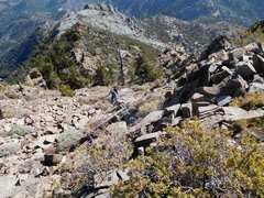
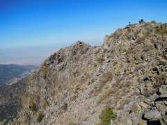
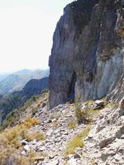
 We stayed high near cliff bases as we wound counterclockwise. Route was class 2 with nasty talus, optional class 3 that was actually safer. |
 The NE gully. This was steep and treacherous, with loose talus. There was one gully from here that led to summit |
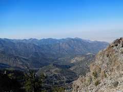
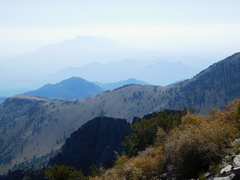
 View N. Haze from CA fires. |
 View E |
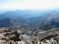
 View N |
 Anji comes up. |
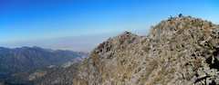
 View W from peaklet. No cairn or register on top, no report of previous ascent. |
 View N |
 View W |
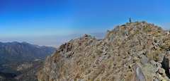
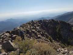
 Anji and Tracy on top |
 |
 Tracy's pic of Anji and me. |
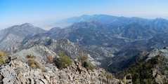
 View ~E |
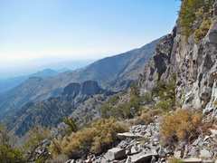
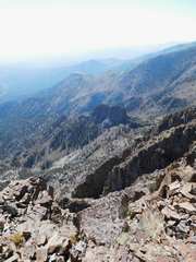 View SE doesn't really show the roughness of cliffs below |
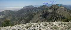
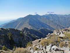
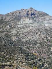
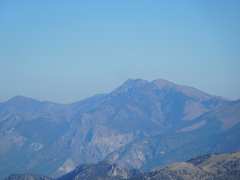 Troy PEAK in the Grant Range |
 Descending. Usually the most stable rock was at very base of walls. |
 Our cars. |
 About the most benign, and most deceptive, view of peak, as gendarmes on W ridge are not apparent. |
 |
 Tracy and Anji head E to cars |
 Cars in view |
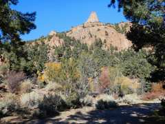
 One last view of Troy Mountain |
 View from our campsite. |
|