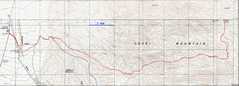
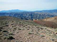
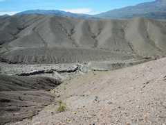
 GPS trace. The first few miles of ridge N of the canyon is low-angle, probably composed of Quaternary colluvium. |
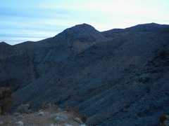
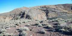
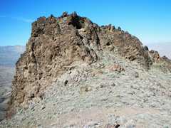
 Once above the colluvium, the ridge occasionally sprouts rough territory |
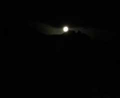 View back W at the moon over a spire I'd climbed and descended. |
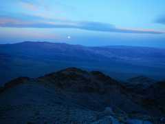
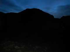 View E around 6:40AM -- the sky has barely lightened. |
 |
 |
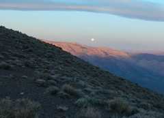 About 7:20, the sun has yet to hit me, but ridges to the W catch rose glow; The moon gets low in the W sky. |
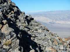
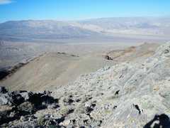
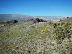
 Now I'm near the DPS route, and the terrain is suddenly very mellow. |
 |
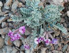 A vetch. |
 |
 Gravestones of the brave hikers who died on this route. |
 |
 |
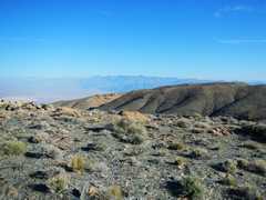
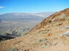
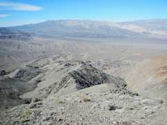
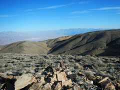 View ~N, Grapevine Mts at R in distance. |
 Telescope Peak to S |
 I'm NOT going to follow that arrow! |
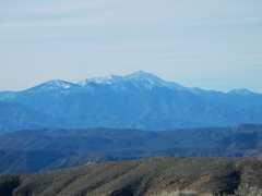
 Snow-covered Sierra to W. |
 |
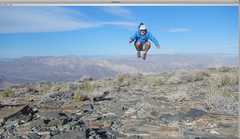
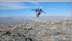 I tried to jump over the Sierra, but didn't quite make it. |
 |
 |
 View ~S - SSW, with Telescope at L. |
 View back ~NNE as I descend. |
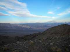
 View WSW. |
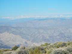
 One the way, back, I was able to sidehill some of the rockier stuff, since I could now see! Sierra in back. |
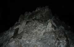
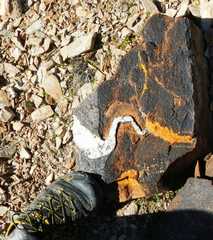
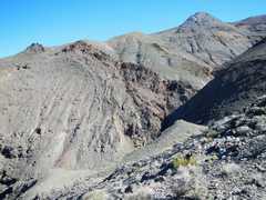
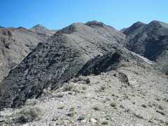
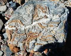
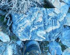 Typical metamorhic rock. |
 The ridge down, to W. |
 View back N. |
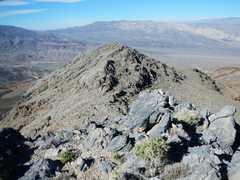
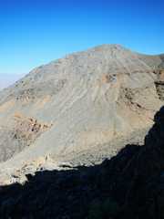
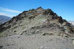
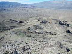
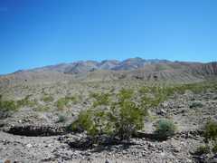
 I must eventually go over the rough brown lump. |
 |
 |
 When I can over this in the dark, I went down a 3rd-class crease; actually one can walk around it on the N (R). |
 View back NE |
 More of the way down to W. |
 |
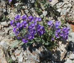
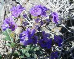 Death Valley phacelias |
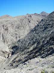 View ENE up canyon. |
 About to hit the long colluvium part of ridge. |
 View back E |
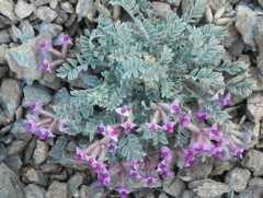
 More phacelia |
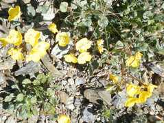
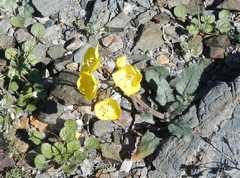 Early-evening primrose |
 |
 |
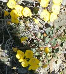 More primrose |
 View back E. The light rains around March 1 were enough to green the area. |
 Mojave asters |
 View down into Telephone Canyon, as a jeep crawls along. |
 |
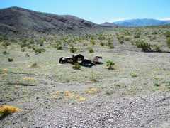 I totally missed seeing this wreck in the dark |
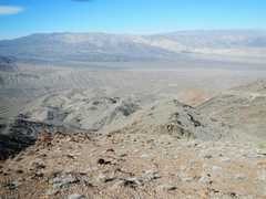
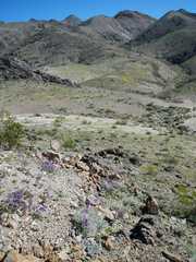
 I'm in Emigrant wash; the left-most lump in the higher range is probably Tucki. |