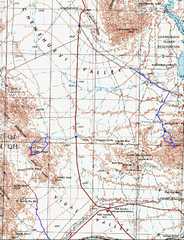
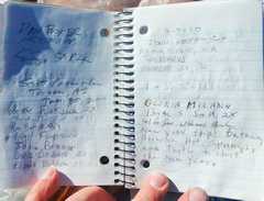
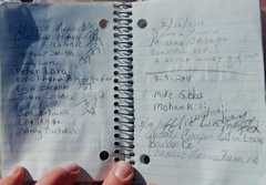
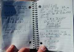
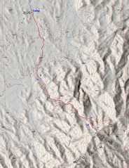
 General map of the area; on Friday I went up Turtle, and on Saturday I met the Trona Firepit folks for a trip up Whipple. |
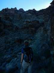
 First day-- I started at the (unmarked!) Wilderness Boundary at 6:16AM. The road to this point was rough; but actually, the next 3.25 miles would have been easy in my 2003 Subaru Outback. |
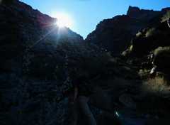
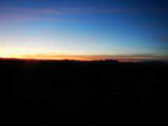 By 6:20 or so, the sun (not risen) began to light up the eastern horizon. |
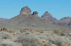
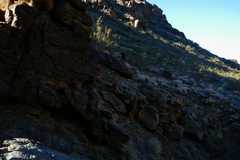
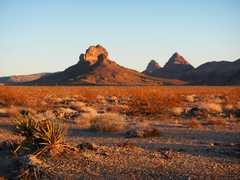 The early sun hits Castle Peak, Mopah and Umpah (L to R). |
 |
 Tjhe indistinct top of Turtle. |
 |
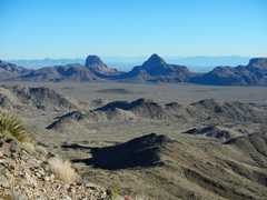
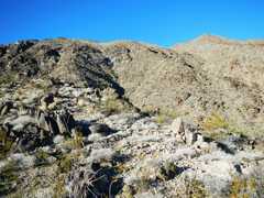
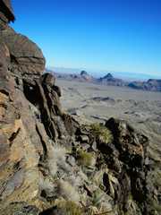
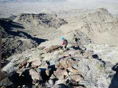
 Now I'm on the ridge, looking NW at Turtle. |
 |
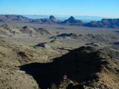
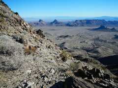
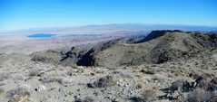
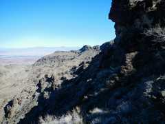
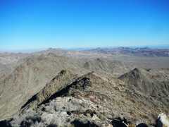 View N from Turtle. |
 |
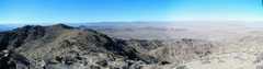
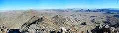 Panorama N to NE. |
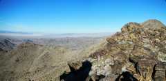
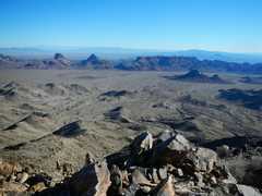
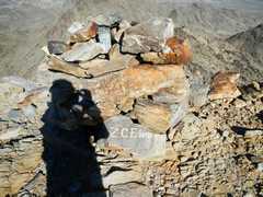
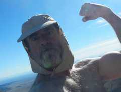
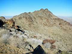
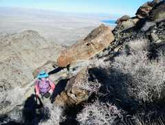
 View S from Turtle. The Horn looks like a nicer peak, and if I'd planned better, I would have gone there too. Even though I reached the summit of Turtle at 9:06AM, by the time I was back, packed up my car, drove slowly out, and drove the long dirt road to Whipple, it was 3:30PM. |
 |
 |
 |
 |
 It was very windy. |
 |
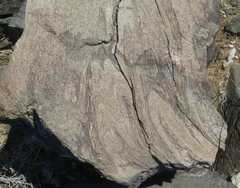 Much-tortured Proterozoic gneiss. |
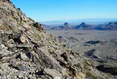
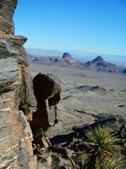
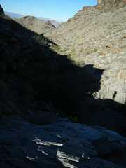
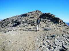
 Down this ridge, mainly class 2 at worst. |
 |
 |
 I sure hope the yellow-green on my beard is an artifact of the light. |
 |
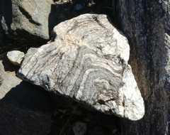 More gneiss. |
 Coarse pink granite on right of Proterozoic metamorphics. |
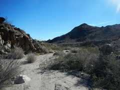 Finally, back in the wash, still 4 miles from the car. |
 |
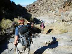
 Next I drove up to Whipple. Incredibly, I didn't get to the cammpsite till after 3PM. I didn't want to drive in after dark. Kathy Wing appeared about 4PM or so, and I was asleep by 7:30. |
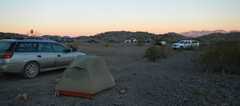 ...and I slept until 6:34AM! When I woke up, there were at least 5 more vehicles! |
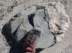
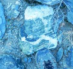 Epidotized rock with vein. |
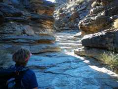
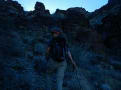
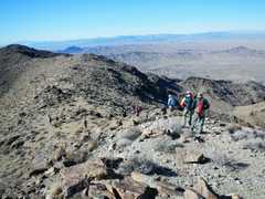
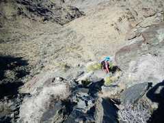
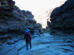
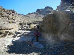
 Soon we were walking up incised valleys. |
 Kathy W managed to find shorter ways (than the DPS route), staying high and following animal trails. |
 |
 |
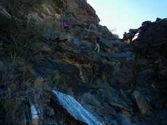
 Here we cross from one drainage to the next. |
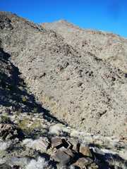
 We must go up there. |
 |
 |
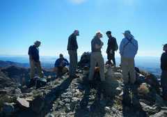
 The rest of the group is already on top. |
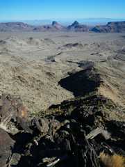
 Pano, ~SW. |
 |
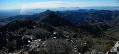
 Pano, ~NE |
 |
 I started to head down with tjhe others, then noticed Kathy was on a more southern ridge, so Rainboze and I traversed over. |
 |
 |
 There was one sslightky spooky spot on the descent. KW had left a cairn during her climb, which showed a way around. |
 |
 |
 By this time of day, it seemed hot in the sun; in reality, it was 60F at most. |
||