|
|
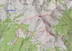
Day 1: GPS trace of quick Tushar tour. I had been to standard route, so this time I went SE on the Skyline Trail, then cut up Holly, to over |
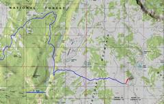
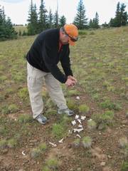
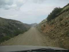
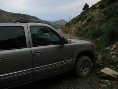
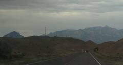
Day 2: Bluebell Knoll just S of Bicknell. This was mainly an exercise for the vehicles, which went over 50 miles RT on dirt roads, climbed over 6000’, all to give us a 0.5 mile RT walk. |
Day 3: A delightful trip to Henry Mts, with good practice on handling the unexpected, and renewal of faith in people. |
|
|
|
|
|
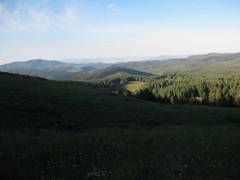
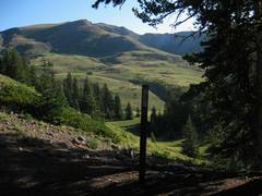
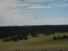
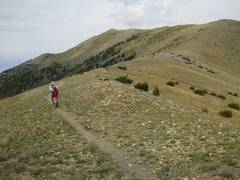
Day 1. I started out fairly early, as the other folks were just beginning to stir. View back on the campsite at the 1st Big John Meadow. |
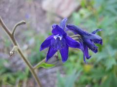
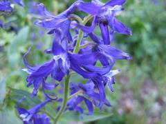
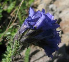
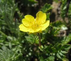
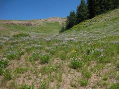
The barestem delphinium (a relative of the desert larkspur) was in gorgeous bloom. |
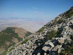
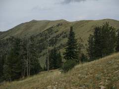
There were a few drops across gullies, but generally less than 100’. |
|
|
|
|
|
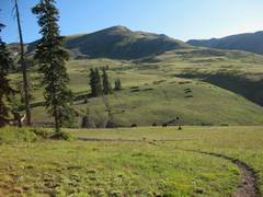
Meadow with … cows. Even the bulls seemed afraid of me. |
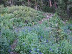
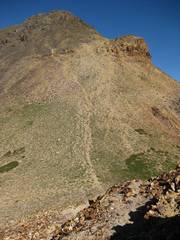
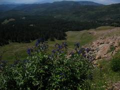
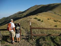
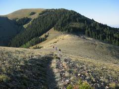
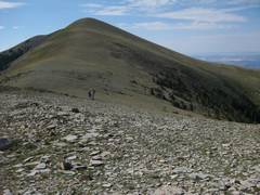
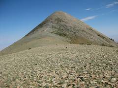
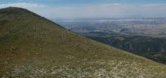
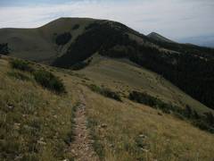
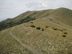
The Skyline trail crosses into a woods, through a delphinium patch. Shortly after this point, I left the trail and headed directly up the
ridge to Golightly. |
|
|
|
|
|
|
year-round spring, and is popular with the animals. |
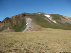
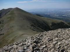
Now I’m on top of Holly Madison, with on the summit, but they left as soon as I arrived. |
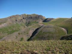
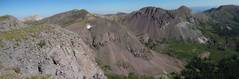
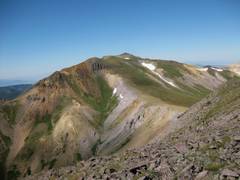
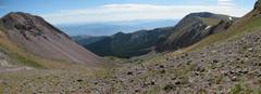
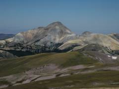
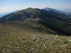
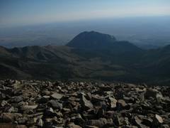
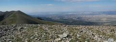
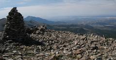
Panorama from Mt Holly Madison. Peak 12045 (aka is in the center of the view. |
|
|
|
|
|
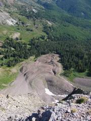
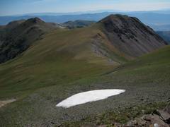
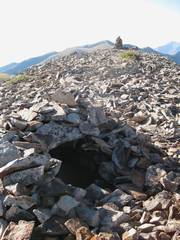
This looks like a rock glacier. It probably contained some snow originally, perhaps at the end of the Pleistocene, or even in the Little Ice Age. |
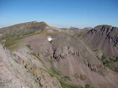
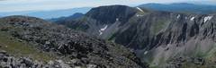
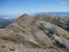
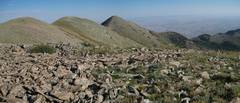
Yet another pano from Holly Golightly. |
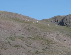
Mountain Goats were on this knoll, after escaping hunters earlier. The peak in back is probably the unnamed point 11593. |
|
|
|
|
|
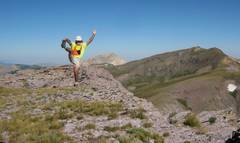
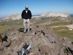
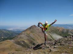
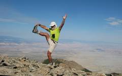
Arrogance while on Holly. |
Now I stroll N
toward E through a notch in the cliffs. |
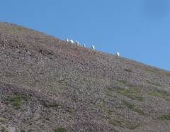
Mountain goats. |
|
|
|
|
|
Mountain goats. |
|
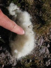
Shed mountain goat fur was everywhere on this cliff edge. |
|
|
|
|
|
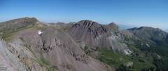
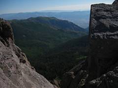
The S side of but just class 2 at worst. |
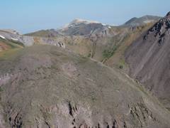
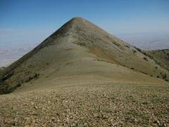
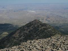
View E peak 12045. |
I met Ali on top of
the R of Ali, and Baldy is at L. The other
|
|
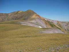
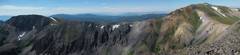
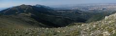
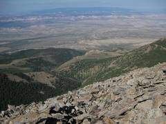
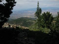
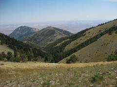
View back W to Delano. I took long GPS averages at two places on the |
|
|
|
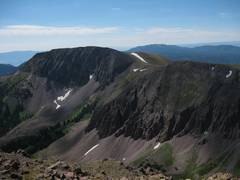
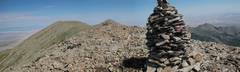
A wider pano from Holly (L) to Delano (R). |
|
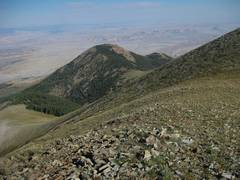
View of 12002 to the NE. I should have |
|
|
|
|
|
|
|
|
|
|
|
|
|
|
|
|
|
|
|
|
|
|
|
|
|
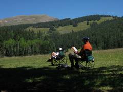
I had “permission” to go my own pace, |
|
|
|
|
|
|
|
|
|
|
|
|
|
|
|
|
|
|
|
|
|
|
|
|
|
|
|
|
|
|
|
|
|
|
|
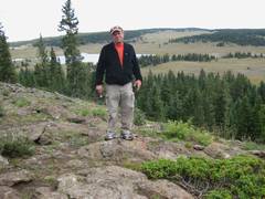
Back at the Bull Creek Pass Rd, I was an hour ahead of the other folks. I talked with this pleasant BLM range, Josh F., for a while before I realized that he was armed! Judging by the hoopla we heard the |
|
|
|
|
|
|
|
|
||