 |
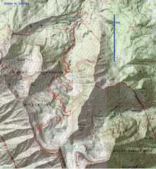
 Nebo 1st! As I was driving up, I heard that the canyon was closed due to flooding and debris in the road! Fortunately it was clear by the time I arrived. |
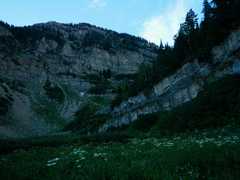
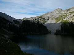
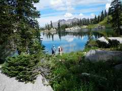
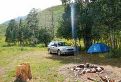 I found a good campsite at 9300', heard thunder, hurriedly set up my tent... and the sun came out. You can see my site was blessed by a supernatural light.. All the way in it was raining and cloudy. |
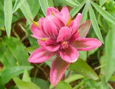
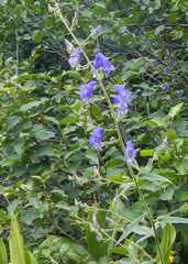
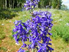 Delphinium |
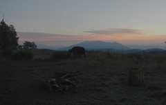 Next morn, view N as a cow visits. The night had been clear, but incredibly damp -- even objects in my tent were soaked in dew. |
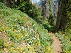
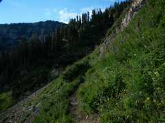
 Next morn, view back E over trail. Meadows were very wet with dew. |
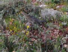 Grouse |
 |
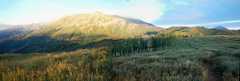
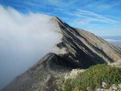
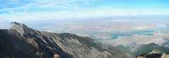
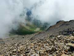
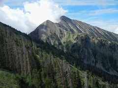
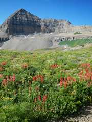
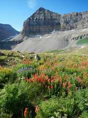
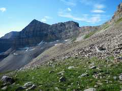
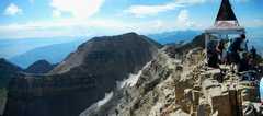
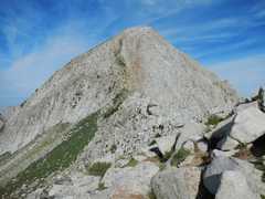
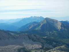
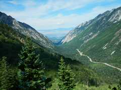
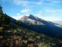 First view of Nebo-- totally clear on W, totally cloudy on E |
 First view W. |
 About to drop into Wolf Pass. |
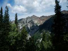
 Uh-Oh, clouds are building.. |
 ...but actually stayed stable. |
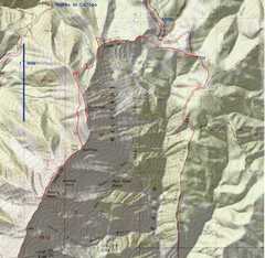
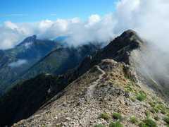
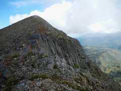
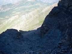
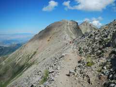
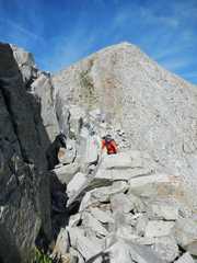
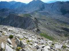
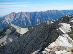
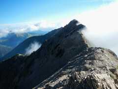 View back N. The ridge undulates; and there is an obvious use trail that lets you skip any creepy rock prominences, so overall it's class 2 at worst. |
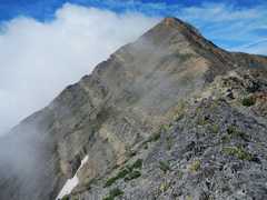
 But the E and W sides are quite steep-- one narrow couloir was still filled with snow. |
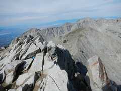
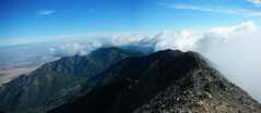 View back N; weather is holding steady. |
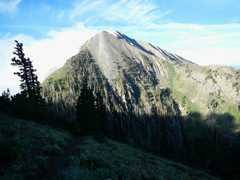
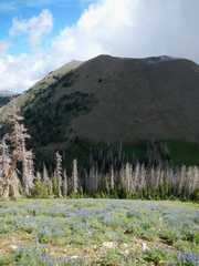
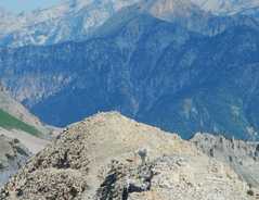
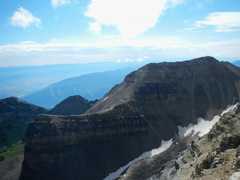
 Peak on L is Middle Nebo. |
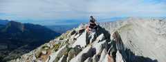
 View S. |
 |
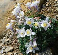 columbines |
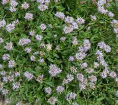
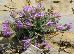 Purple penstemons. |
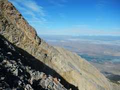
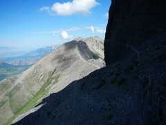
 A rare glimpse off the E side. |
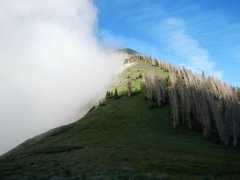
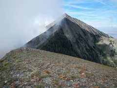
 View N. North Peak was temporarily in clouds. |
 View back at Nebo. |
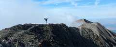
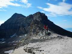
 Now North Peak is clear, I'll head up on L side, since the survey point says that's the highest. |
 ...but on top of North, the clouds came in and out. The map said the south was slightly higher, so I wander over there, verified the map was wrong... |
 ...and headed up to highpoint |
 |
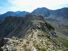
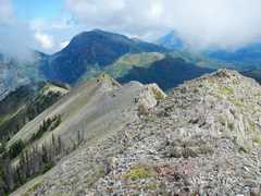 Ridge down N side of North Peak. |
 Last view back at Nebo. |
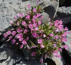
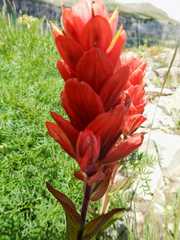
 pink wasatch paintbrush. |
 flowers... |
 On the way up, I heard growling in the woods near here. On way back, more growling. |
 some type of onion. |
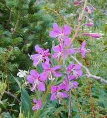 Fireweed |
 From the lonely, to the crowded: next day was Timpanogos. I passed about 100 people on the way up (4 groups of at least 10 people, lots of smaller parties), and was passed by one guy (a trailrunner). Folks were amazingly polite. |
 |
 |
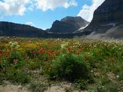
 Finally a gorgeous view of the peak, S across Timp meadow, where lots of folks had spent the night. |
 |
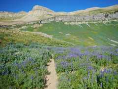 Lupines |
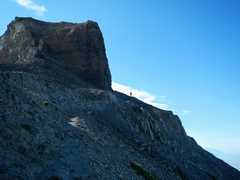
 Next shot I'm on that ridge, just R of the sharp cliff. |
 |
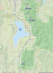
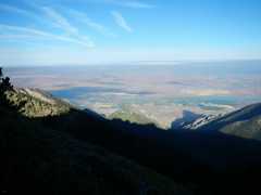
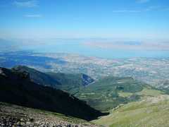 Utah Lake |
 One goes on the R side of the cliff... |
 Then up a steep gully. I suspect switchbacks were shaped from the "dirty limestone," which tends to break along bedding planes. |
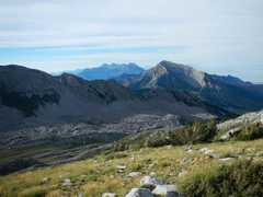
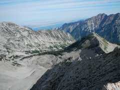
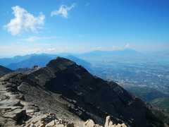 View S from summit, Nebo at R in distance. |
 |
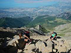 At L is a granddaughter and at R is mother; "Gramps" was right below them... He looked younger than I do! |
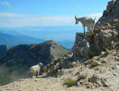
 A "mountain goat" was near the top |
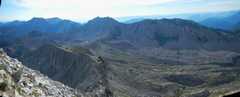
 View ~ SE. |
 South Timpanogos |
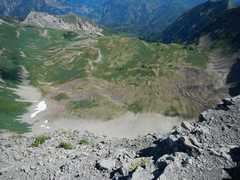 View down the cliff face, to trail across Timp meadow. Remnant rock glacier. |
 Looks like Alpine Collomia, but it is pinker than "normal." |
 Mama and baby |
 |
 North, after I've left the steep gully. There is a huge group on the far ridge. |
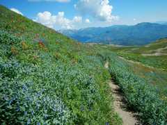 Mainly bluebells |
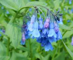 bluebells |
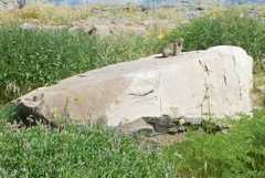 I kept seeing Pikas, but they were too quick for me to photograph; all I could get was this lazy marmot. |
 paintbrush. |
 South Timpanogos, Paintbrush, and a carrot-family member (Angelica?) |
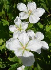 wild geraniums |
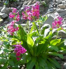 Parry's primrose |
 Saturday was Pfeifferhorn. It was still dark when I got to the parking lot, and grabbed the last available space. It turns out that this is a popular trail for backpackers, who stay at Red Lake, and for folks just trying to escape 90F in the town below. I'd heard Pfeifferhorn described as class 3, but except for a tiny bit (read on), it is class 2-- DPS might even say class 1. |
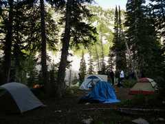 Camp at Red Lake. Maybe Jose Witt or Heather Wittcan explain the tent in center. |
 |
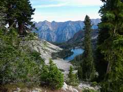 View back at Red Lake |
 view S to Timpanogos. |
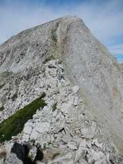
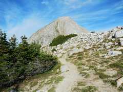 The summit cone of Pfeifferhorn looks quite steep; actually, it's a class 2 loose scramble, after one slightly tougher obstacle... |
 ....and that obstacle is a peculiar broken-rock causeway separating the east ridge from the summit cone. |
 You may have to back up and try other routes when trying to pass the causeway. You can't see it here, but there are substantial drops R and L. |
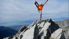
 On top! |
 View ESE. |
 View S, Timpanogos in back. |
 View E to causeway |
 View N |
 |
 View NE |
 View NW |
 ~E across "easy" part of causeway. |
 On return. looking back NW over causeway and summit cone. |
 Red Lake again. |
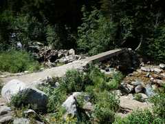
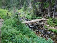 A bridge that goes to one of the harder routes |
 Monk's hood. |
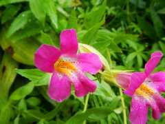 Lewis monkeyflower |
 The canyon back to town |
 |
 last bridge. |
|