Whitney-Mt.
Muir Trip, CA
Harlan W. S. |
The roundtrip took
~12 hours, with a healthy stay on top.
There was a delaying drama on the switchbacks—a woman was
severely altitude sick, and was being carried out, pick-a-back style. We found a ranger just east of Trail Camp,
and he called in for a helicopter.
For the WT (west)
route to
|
|
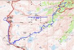
GPS trace (blue). Because there are so many switchbacks, the roundtrip route (with side trip up Muir) was ~22 miles. |
|
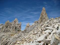
View NW to Wotan’s Throne. |
|
|
|
|
|
in background. |
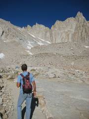
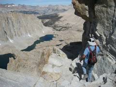
Mount Muir at R – just below Trail Camp. |
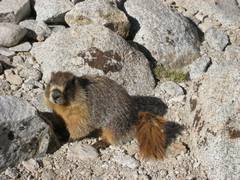
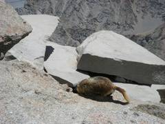
Marmot at Trail Camp. |
|
|
|
|
|
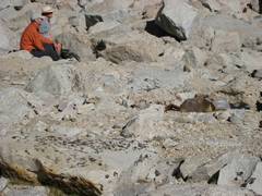
pack owned by the fellow in orange. |
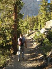
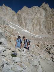
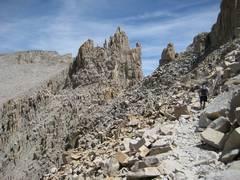
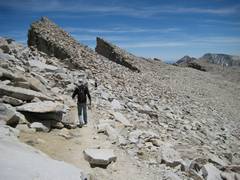
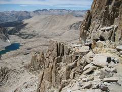
Nick and Matt heading up the 99 switchbacks; Muir in background at R. |
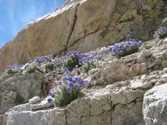
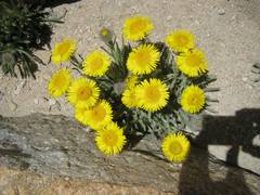
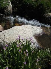
Polemonium above a switchback. |
|
|
|
|
|
View W at Trail Crest. |
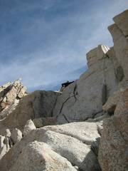
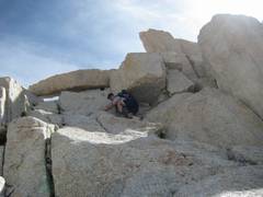
Nick takes off up Muir. This 1st chimney is really a
crack. |
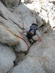
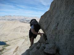
View down the chimney. I put up a strap for security, but Matt didn’t need it. |
|
|
|
|
|
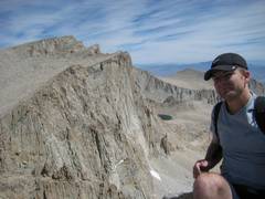
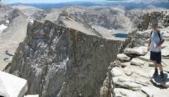
Matt on top of Muir. |
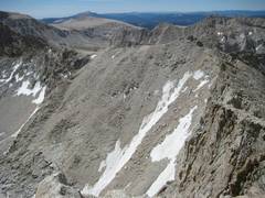
View of “99 switchbacks” from Muir. |
Matt descends past upper section of Muir. |
|
|
|
|
|
Matt, view NW, on traverse with good holds. |
Back on |
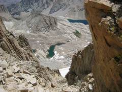
View E through an early window. |
|
|
|
|
|
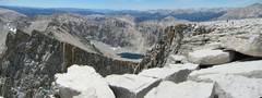
S from |
Matt reprises a photo from 8 years back. |
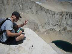
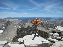
View S, itchy R foot. |
|
|
|
|
|
|
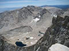
Pano N over Russell, to Williamson. |
|
|
|
|
|
|
|
|
Keeler Needle at L. |
|
|
|
|
|
|
|
|
|
|
|
|
|
|
|
|
|
|
|
|