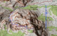
 The wiggly nature of the GPS track in Cleaver Crack itself (between 4 & 5) is due to poor signal; the actual route is pretty straight. However, the crossing S near point 4 is real. |
 This Google Earth rendering is with the highest available resolution for the DEM (digital elevation model), but still rounds out the sharp features. Because GE pegs GPS tracks to its own DEM, the track appears to float above Cleaver Crack. |
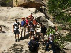
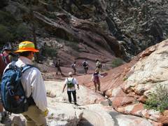
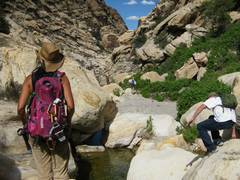
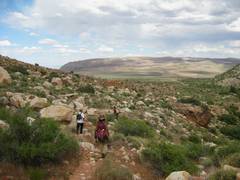
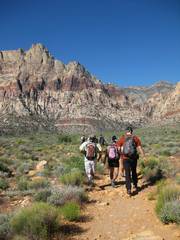 Starting out the day from Oak Creek Trailhead. Wilson at L. |
 |
 |
 The famous heart-shaped pool. |
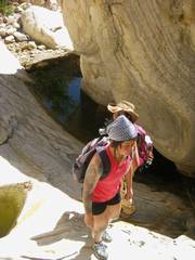
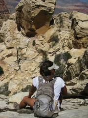
 Near the 1 on the map. |
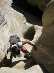
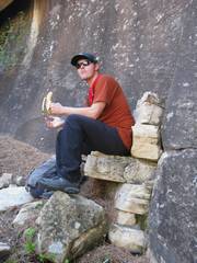
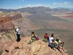
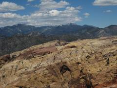
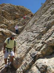
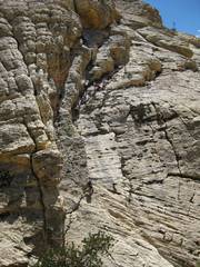
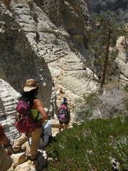
 Near the 3 on the map. |
 |
 |
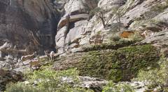
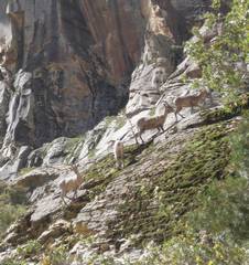 Bighorns. |
 |
 |
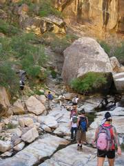
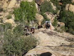
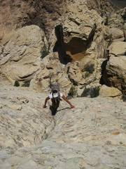
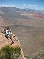
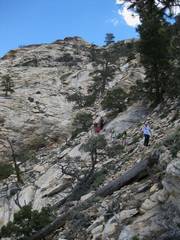
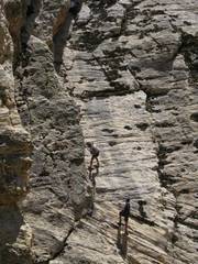
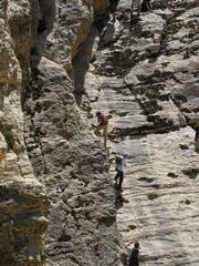
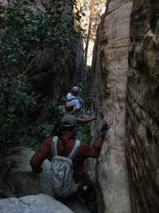
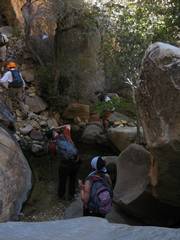
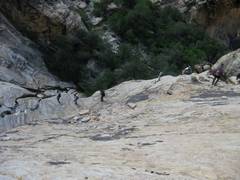
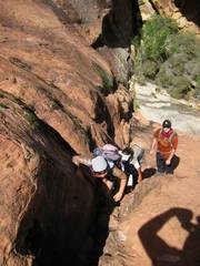 Between 3 and 4. |
 |
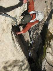
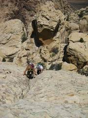
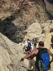
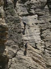
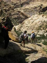
 Between 4 and 5. |
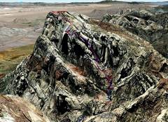
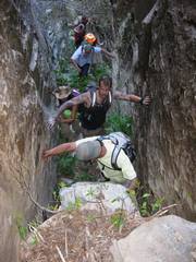
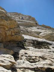
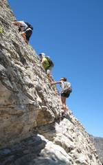 The exposed ramps; blue track near 5. I've forgotten who took this pic. |
 Top of the exposed ramps. |
 |
 |
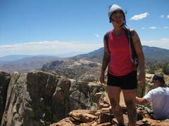
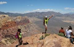
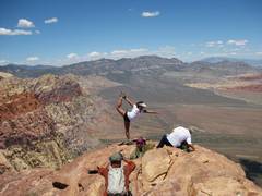
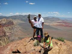
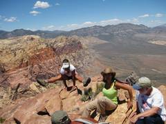
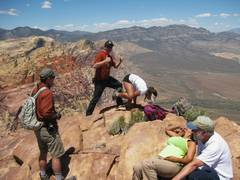
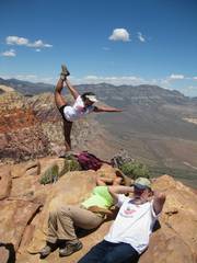
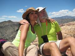
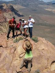
 Top of Wilson; time for various poses. |
 |
 |
 |
 |
 |
 |
 |
 |
 |
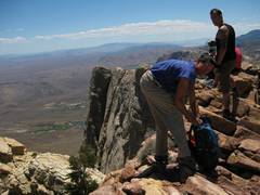
 Kevin does an exam. |
 |
 Fraternal twins. |
 |
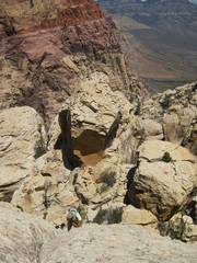
 Near 6. |
 Now we head down the red track near 5. |
 |
 |
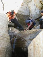
 Shortly I went across to the base of that big boulder (near top of photo) and took photos back at folks coming down the handline. |
 |
 |
 |
 |
 |
 |
 Just before 4 on way down. |
 |
 Below 4, Fab and Angelina were getting sick from the heat. We stopped in the shade and I poured water on them (really). |
 |
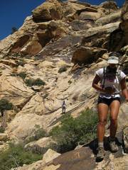
 Above 3. |
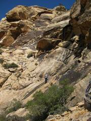
 Below 3. |
 Near 2. |
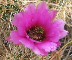
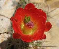 Claret cup. |
 Descending from 2. |
 |
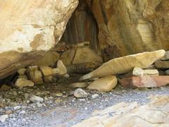 I found this funky bivvy site. |
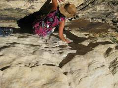
 Cooling off. |
 |
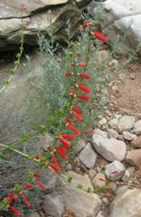 Penstemmons |
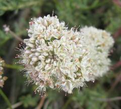
 Strawberry hedgehog. |
 |
 |
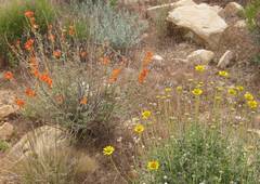 Globe Mallows and desert marigolds. |
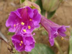 Desert 4 o'clocks. |
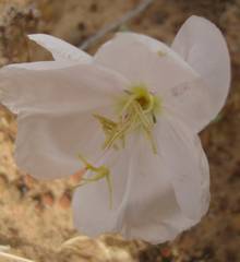 Primrose. |
|