Worthington Peak, NV (8968')

pics by Harlan W.S.
April 20, 2012


This was a scouting trip for the roads. We went up Worthington to clear up unfinished business from a trip in a snowstorm last year.


We took fairly benign roads to a camp at 6700’. The two major dirt roads that encircle the range were in very good shape. The dirt road in from the NE side is in excellent condition to about 6000’, when it turns S.  It’s still a pretty good road, and even the last stretch (where a faint fork goes to the WSW then W) is not too bad.  The “camp” is just another fork, where you can turn the car around, and find several places to pitch a tent on the old mine road.


The hikes from the E side are mainly class 2, some mild class 3. You can always avoid the worst cliffs by side-hilling. The route up along the ridge has one winding around limestone pinnacles, but there is always a reasonable way.  The route down is a pretty easy talus descent to the wash.


The summit register alluded to a route from the W.  Indeed, there is a two-track, along the S side of a fence, heading due E from the location of the SUV symbol on the 2nd (100k) map.  We didn’t try that road at all.


Meeker, in the S part of the range, is really a more challenging peak.  However, the eastern route to Worthington feels much lusher, has better roads, and allows one to camp higher in shade.


A gpx file is here, and a google earth file is here.  DO NOT open the gpx file in your browser; right-click on it and chose the proper save option (or use the Mac equivalent mouse/keystrokes).


01worth24k

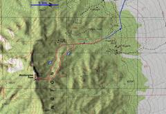
24k topo map of hike and roads in to

camp at ~6700’.

0worth100k

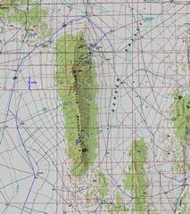
100k topo overview of the roads

on the E and W sides of the range.

IMG_9464

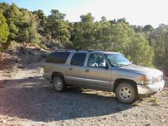
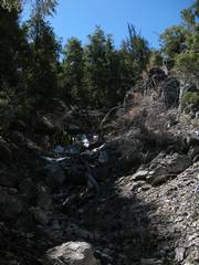
The camp spot at ~6700’; view N up

the side mining road.
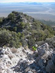
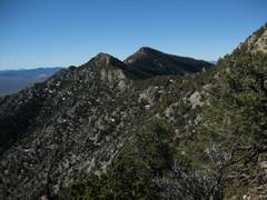
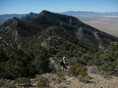


IMG_9466

View NE as we head up the

ridge route.

IMG_9468

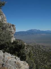
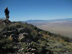
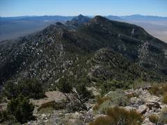
View SW to peak. There are some

bristlecones in the gully at L.


IMG_9471

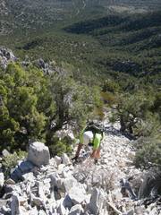
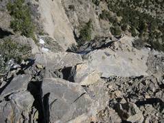
Even the worst talus on the

ridge is pretty stable.


IMG_9472

Limestone pinnacles on the ridge

usually have a side bypass.

IMG_9474

Troy Peak is in the distance N.

IMG_9476


IMG_9477

IMG_9479

Zoom N to Troy.

IMG_9480

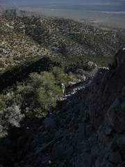
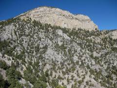
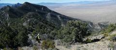
We’re approaching the rimrock

on the SE side of the peak.


IMG_9482

IMG_9488

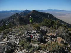
Now we’ve crossed the rimrock,

and walk a benign 200’ vertical

to the peak top. The sharp peak to

S is Meeker.

IMG_9488-9

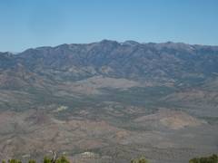
The mild canyon on the R (W) side

of photo may provide an alternate

route.


IMG_9491

IMG_9492

IMG_9495


IMG_9496

IMG_9497

IMG_9498


IMG_9499-502

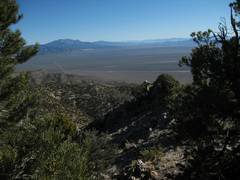
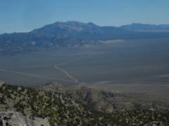
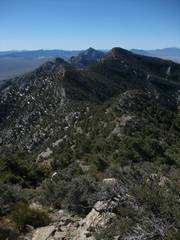
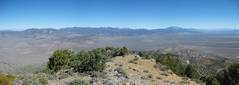
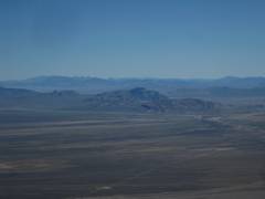
View ~ NNW, with Quinn Mts.

in center, and Troy at R.

IMG_9503

The Quinn Mts.to NNW.

IMG_9505


IMG_9515

IMG_9521

I went to the N end of the summit

block to scout other routes down.

Not today.

IMG_9524

Great Basin Park is indicated by

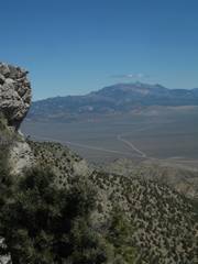
the snow-covered peaks on skyline.


IMG_9525

IMG_9527

IMG_9529

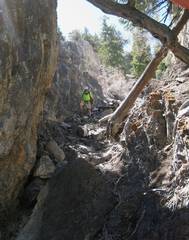
Down the gully route.


IMG_9533

IMG_9538

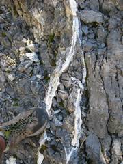
Quartz-calcite veins in limestone.