|
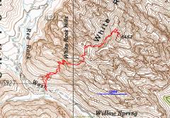
GPS trace of route. The climb starts off the dirt road, ~0.3 miles past the Willow Springs Picnic Area west of the Red Rock scenic loop. The route is extremely hard to follow, especially after the cairns get knocked down by wind and rain. Here's another trip to the same place. |
View ESE by Willow Springs. |
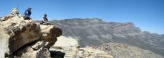
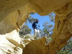
SW view of "Snoopy" formation in limestone. Can you see Matt and Clinton, sitting down, looking left? |
|
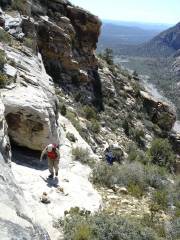
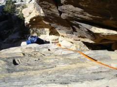
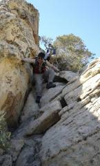
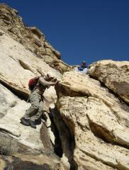
Coming up first (small) chimney. |
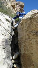
Looking straight down the 2nd (big) chimney. |
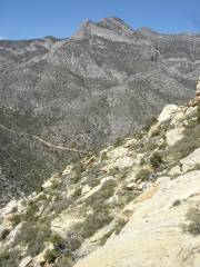
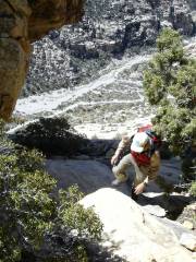
Clinton heads E after coming up the 2nd chimney. I think that's my car parked by the road below. |
|
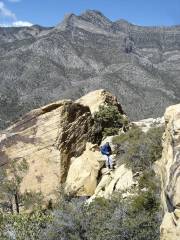
Matt waits on the highpoint E of chimney. |
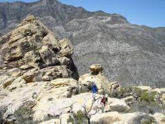
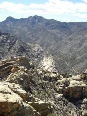
View ENE of minor peak. We are on the plateau just W of the main peak, above the "6000" on the map. "Big Mama" is the peak in background. |
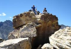
Matt and Clinton on top of the peak; view ~N. Snow-covered Mummy Mt. and Fletcher peek over the ridge at left. On the far right is Damsel Peak. |
|
View ~NE. La Madre is the high limestone peak in the distance. |
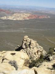
Tunnel Vision Peak. The Calico Hills are visible in the mid-distance, before Vegas. |
|
|
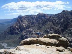
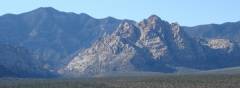
View ~S. Mt Wilson is visible at left, then Bridge Point, Bridge Mt., then North Peak to right (snow on the north side of North Peak). Snow-covered Mt. Potosi is in the distance, between Bridge and Bridge Point. |
View SSW of Rocky Gap Road. |
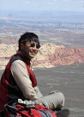
View E to Vegas. The "Wynn" is the dark large casino above and just to the right of Clinton's head. |
|
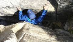
Returning down chute near top of peak. |
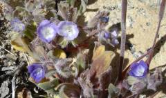
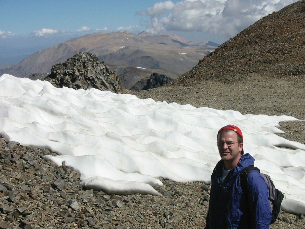
Tiny phacelia, possibly Washoe variety. The flowers were ~1/4 -1/3" wide. |
|
|
Down the 1st chute. |
|
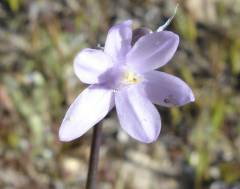
Few-flowered (desert) hyacinth. |
|
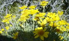
Goldenbush. |
White Rock Hills (the light-colored peak in the sunlight) as seen from the scenic overlook on Route 159 (view NW, 2.5 hours before sunset). |
|