|
|
|
|
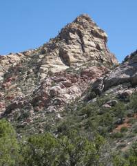
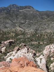
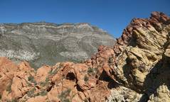
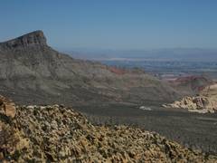
View ENE from ~point C29 on map, shows highest summit of WRSP. |
|
|
|
|
|
|
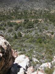
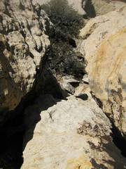
After mounting the ridge; view W over thick brush. The trail is just over the gravel bank. |
View up and ~ESE. |
|
|
|
|
|
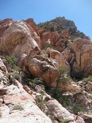
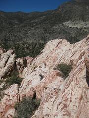
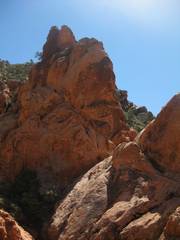
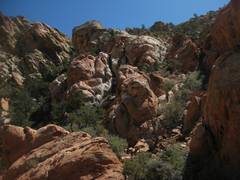
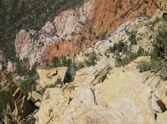
This and the next 5 pics show the ridge on the way up. |
|
|
|
|
|
|
|
|
|
|
|
|
|
|
|
Looking down the one hairy spot. |
Steeper ridge to N; someday… |
|
|
|
|
|
|
View ~S to Bridge. |
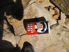
Retro oatmeal can register. I tried to coat the rim and lid with petroleum, as it had rusted slightly and the can was very hard to open. |
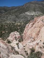
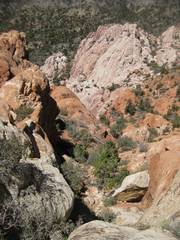
This view, taken NNW (a bit below the peak) and looking down, shows the route. |
|
|
|
|
|
View E over
Turtlehead to the city of |
View W from point labeled “view” below. The sharp peak where the register is located is at L; the 5977’ checkpoint is at R. |
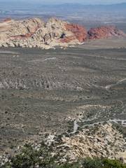
Almost down, parking lot and Calico Hills in back. |
|
|
|
|
|
This year. |
The 6000’ contour encloses the sharp peak. |
|
|
|
|
|
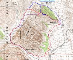
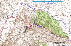

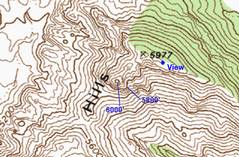
What is the elevation of White Rock Springs Peak (WRSP)? You will see 5977’ listed in many reports, and even in the register on top. Actually, 5977’ is the “check” elevation assigned to the peak to the north (unbenchmarked; the spot check may have been done just from aerial photos). The last map above shows the 6000’ contour around the southern peak – the sharp peak that in 2010 had the register in the oatmeal can. However, the photogrammetry carries an uncertainty of +/-20’. I wasn’t expecting to make an accurate measurement that day, so my GPS had a poor calibration for the altimeter – the auto-calibration occurred as I was walking through a canyon, when I was receiving only ~6 satellites. The GPS baraometric altimeter gave 6000 +/- 5’ at a location 3’ below the top. A 250 second average from the satellite data gave 5996 +/- 10’ for the top.
Many people seem convinced that the USGS (or geodetic survey, which sets more benchmarks than the USGS) tries to benchmark highpoints for some philosophical reason. Actually, the benchmarks were intended to be reliable points for surveys of the surrounding country. When photogrammetry (from aerial photography) became important, many check points locations were simply distinct points on aerial photos, preferably where there was an unambiguous object on the ground (say a sharp rock projection that would not be displaced soon). Actual benchmarks – where there is a metal “monument”, and elevation and position were determined by accurate and reproducible methods – are indicated with a triangle and text like “VABM.” The little X on the 5977 point above does NOT indicate a benchmark.