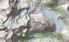
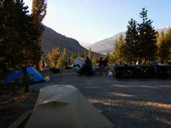
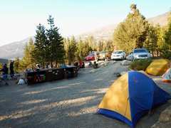
 Sept 5 I went solo to North Peak. I felt sluggish, but still made the peak in about 2h 15m. I varied my route on the way back, to use up some more time, but still got back at 12:30PM. Labor Day weekend is very interesting and crowded at Saddlebag Lake! |
 The nest day we did a class 1 trip to Cloud's Rest, and got there just as smoke from the Rough Fire came in. |
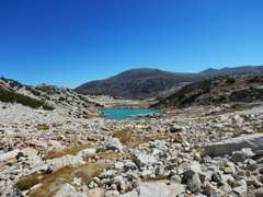
 I went in on the SW side of Saddlebag Lake, and got this view of North Peak to W. It was windy and very cold; I saw ice above 10500' all morn. |
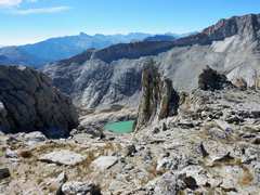
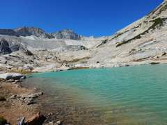
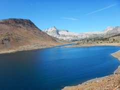
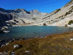 The highest Conness Lake. Mt Conness in back. |
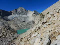 The unnamed tarn right below the terminal moraine. Mt Conness in back. |
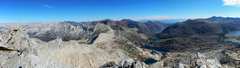
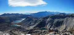 View back E over Saddlebag Lake. |
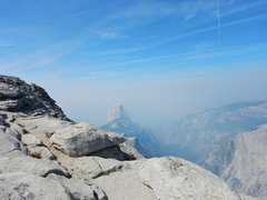
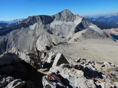 View of Connes from top of North Peak. In 2011 we contemplated going down from Conness, over the ridge at R, not realizing that is a 5.6 route! |
 |
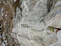
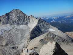 Close-up of the 5.6 ridge. |
 |
 Heading down. |
 About the point where I started across the slope back to the lake. There are use trails that make for low class 2- if you find them! |
 |
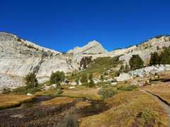
 Now I went to the SW sides of the Conness Lakes |
 Metamorphosed rock, possible m igmatite |
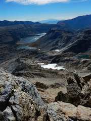
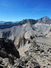
 View back at North |
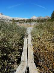 I found a bridge to make the crossing to NE end of Saddlebag easier |
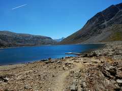 View SE at "Ferry" dock. |
 View back at N, I'm nearly around Saddlebag... about noon! |
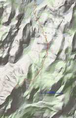
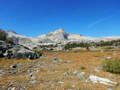
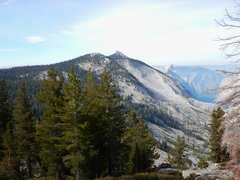
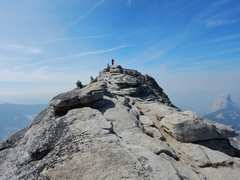
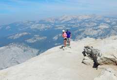
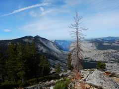 Next Day we went from Tenaya Lake to Cloud's Rest (the peak on L side). Half Dome sticks out just R of Cloud's Rest. |
 |
 |
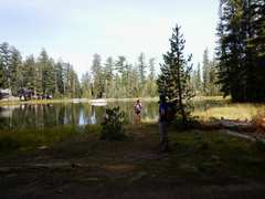 A pond along the way; I was surprised to see the pond was the same size as on the topo maps. |
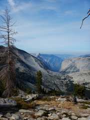
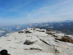
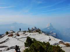
 We got to the peak (CR) about 0.5h after smoke started to pour in. You can still see Half Dome. |
 |
 Toby comes up. |
 |
 |
 |
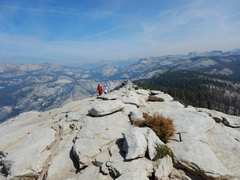
 Kat and Matt next. |
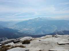
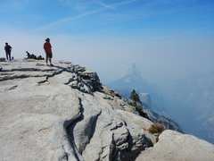 Jeff; Half Dome is mainly obscured, only about 15m since last photo this direction. |
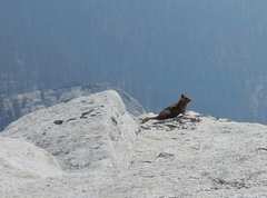 I saw lots of marmots, but only this begging chipmunk stuck around for his picture. |
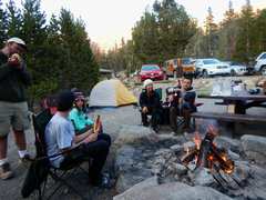
 Back at camp that eve. |
 |
 |
|