|
|
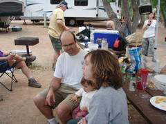
Christine and I arrived Friday afternoon. Joel had just come back from a trip up Lady Mt. Unusually wet weather had ruined his pictures, so I demonstrated this waterproof camera in the failing light. |
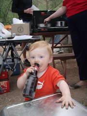
I caught N.O. sampling beer lees. |
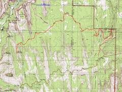
Saturday morning, I prepared to head to get good photos of the east face of Mountain of the Sun. Most other folks were rather groggy at 7:30 AM Vegas time, so I thought I’d go solo. Erika and Alda asked how long my hike might be, To which I wisely answered, “at least 10 miles”. Encouraged, they signed up. The hike ended up at 19.6 miles. |
|
|
|
|
|
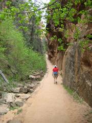
We started out near the East Entrance, on a bizarrely winding path along an old road. This turned out to be my only picture of Alda, as she opted for |
|
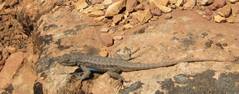
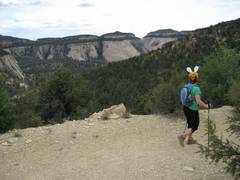
Wildlife. |
|
|
|
|
|
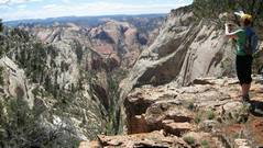
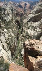
Just before the “peak” viewpoint, there is a more dramatic view S down a very steep canyon on the W side of Deertrap. This unmarked side excursion is visible as a “Y” on the red GPS trace above. |
|
My aim was actually to photograph Mountain of the Sun (MOS), so the route curved south, again off the beaten path, once we hit the
east wall of |
|
|
|
|
|
|
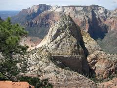
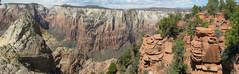
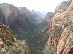
View S from the highpoint of Deertrap. The prominent peak
is the |
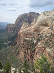
Panoramaic view, from MOS at left (W), to the edge of Deertrap (right and N). |
|
|
|
|
|
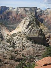
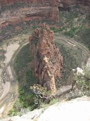
The east ramps of MOS. |
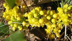
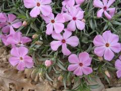
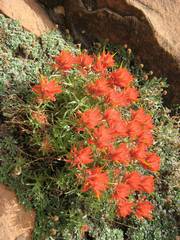
Phlox, some with 6 petals. |
On the return, a view S to Checkerboard |
|
|
|
|
|
A kvetch, complaining about the focus. |
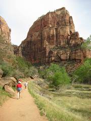
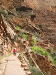
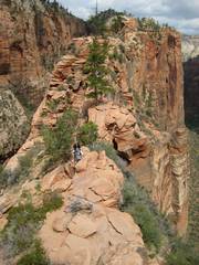
On Sunday, Christine and I decided to stroll up Angel’s Landing. We started a bit earlier than the rest of the group. |
The trails up the Landing are heavily engineered; the cliff side was blasted out, and a paved trail was built out from the wall. The paved trail ends Just short of Scout’s Point. |
|
|
|
|
|
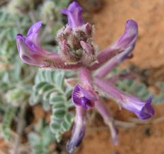
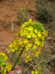
Wallflowers. |
We head north in |
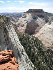
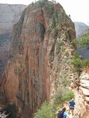
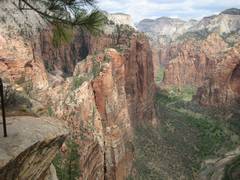
View as the route heads S from Scout’s Point. Pavement ends, chains begin. |
|
|
|
|
|
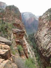
View S through |
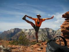
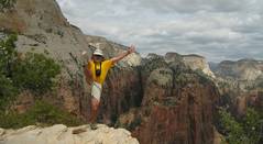
Ta da. View N back to Scout’s Point. Christine opted to stay at the point (she had been to the summit before), so this was a self-portrait. |
|
|
|
|
|
|
in the background. |
N from the peak. |
The way back. |
|
|
|
|
|
View back down (named after Refrigerator Perry). |
|
|
|
|
|
|