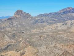
 5421 as seen from Moapa Peak |
||
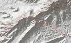 Track for the "hike." |
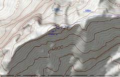 zoom in. |
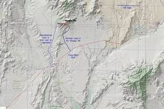 Zoom out for context. Western road looked reasonable from 03/2023 google earth, but Sept 23 storms may have altered. |
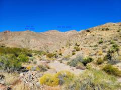 Approch from ESE wash |
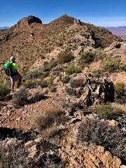
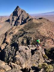
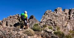
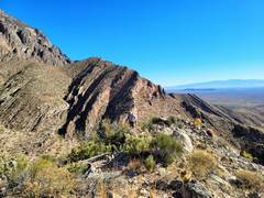 View NE as Laszlo tops 1st connecting ridge. |
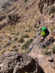
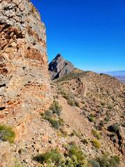
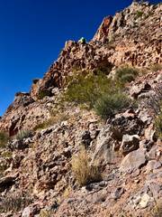 The ridge has moments of cl 3, which might be avoided by intense sidehills. |
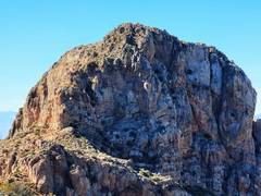
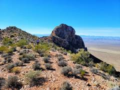
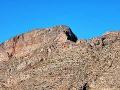 5421 from connecting ridge. |
 Now I'm on main ridge running S from Moapa. |
 Moapa to N. |
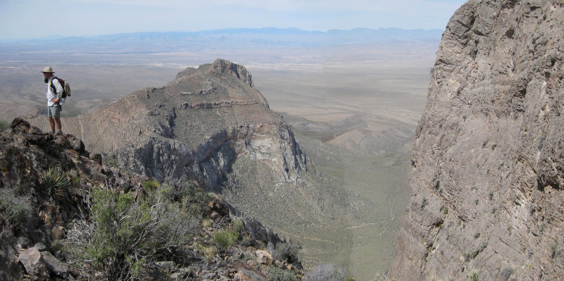
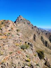
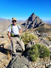
 5421 to S. We came up the L side |
 Top of 5421, view N |
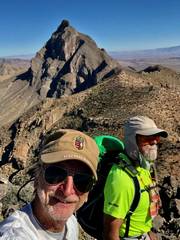
 Laszlo on top. |
 |
 Mormon peaks to ~NNW, some names |
 The more eastern Mormon Peaks, ending at Moapa. |
 The Dome (L) and Mormon Pk (R). There is a hidden, cl 2+ gulley on The Dome. |
 Me descending 5421, looking for best way down cliffs. |
 I left a Dyneema 2500 lb sling. This material loses 30% strength in 3 year under intense UV, so should be replaced by 2026. |
 Laszlo to L of crux. There is a hidden gulley 15' up. |
 N past talus that one must traverse. |
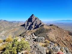
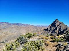
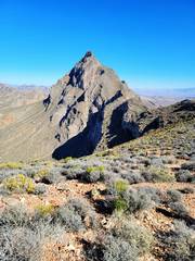
 View S to 5421. |
 Moapa to N. |
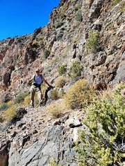
 The ridge is rough. |
|