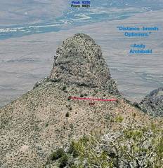
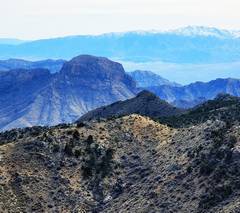
 View N from 6921. "Town" of Carp, NV in distance. |
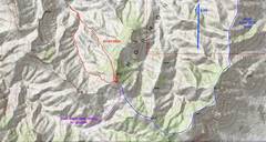 We took the route in red. Purple is if one can drive the BLM-maintained road to a guzzler, blue is a long hard day-hike from a good BLM-designated road. |
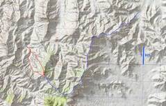 zoom out |
 On way in to camp on Feb 23. Moapa Peak to SW (view from Carp-Elgin Rd.). |
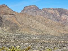 Peak 5804 to NW. |
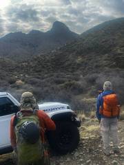
 On Feb 24, view S to 6235 on last 4x4 road |
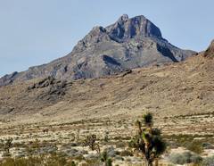
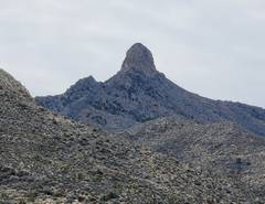
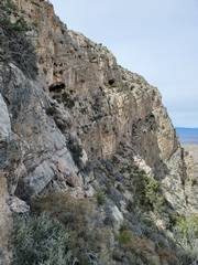
 Tracy's pic of us and 6235 to SE, at end of last 4x4 road. Peak is actually a N-S fin, with 300' cliffs on N end, and 50-100' cliffs on S. |
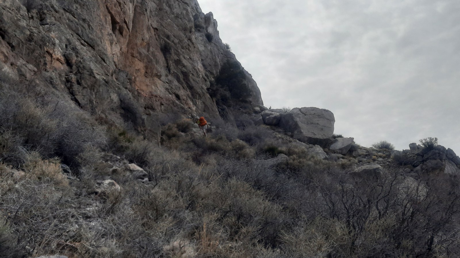
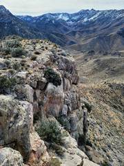
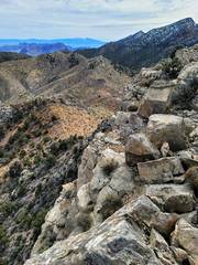
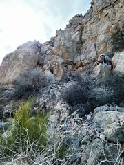
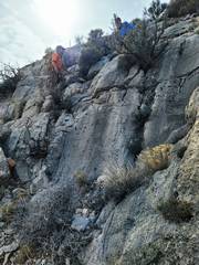
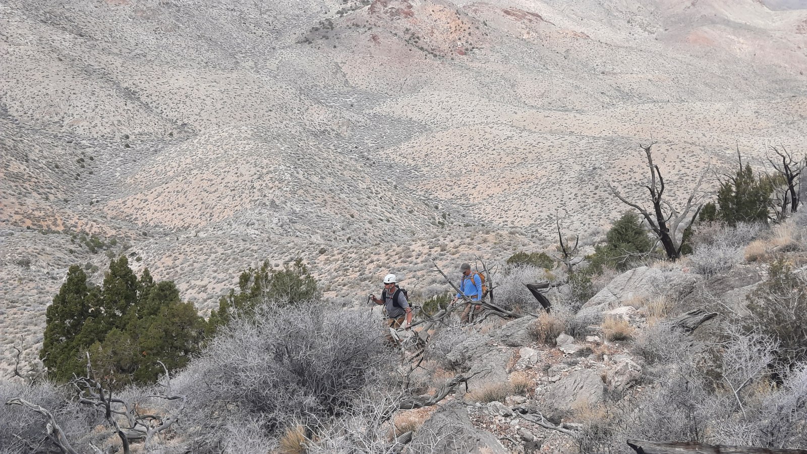 Now we are cutting south along west wall of peak. It was occasionally brushy and had miserably loose talus in places. Pic: Bob. |
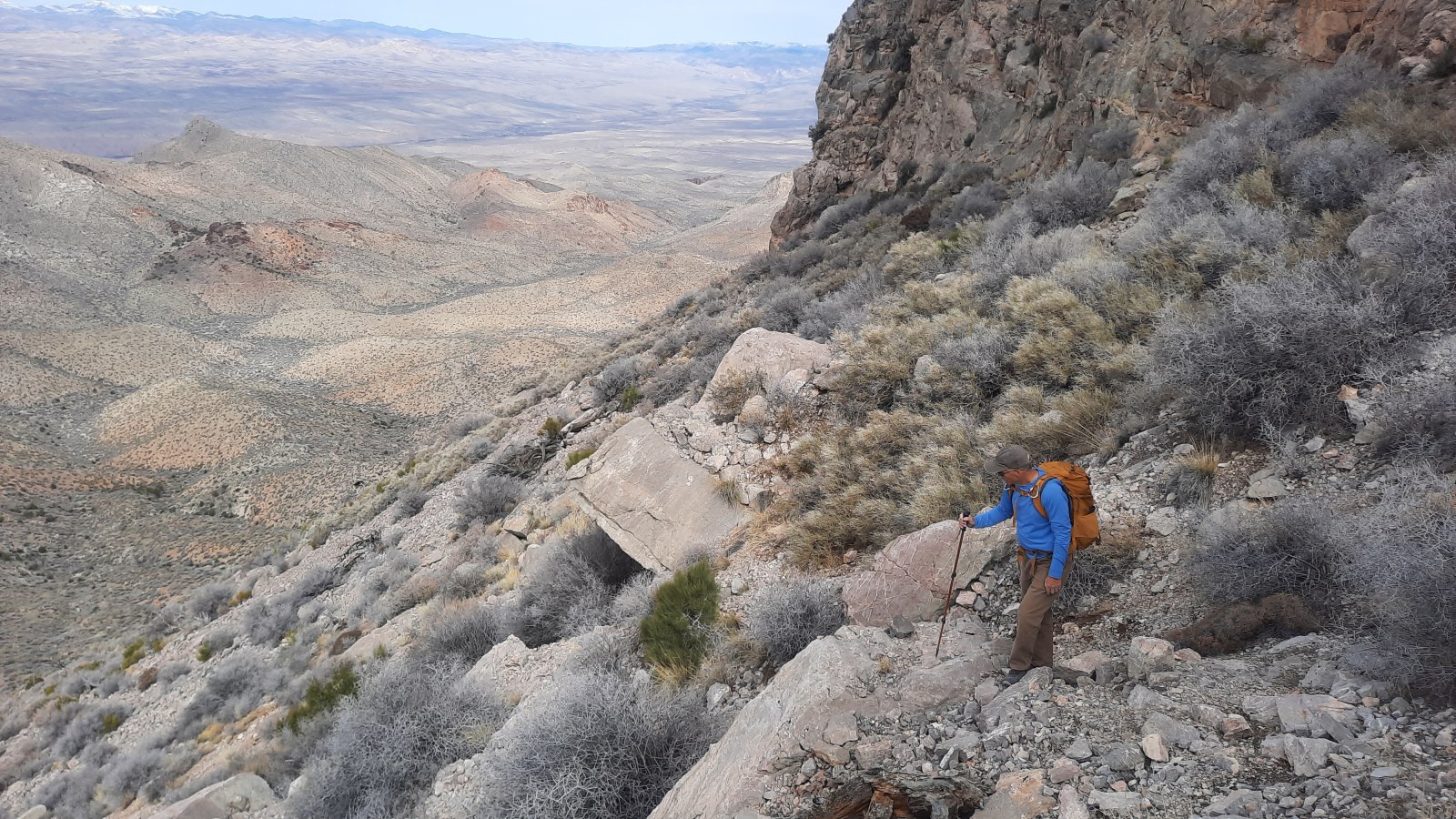
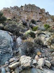
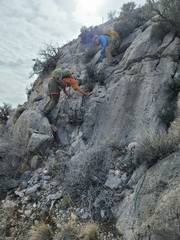
 At the south end, I head SE then east to reach the SE ramp. Pic: Bob |
 View to NW as we head around to SE side of peak. Pic: Bob. |
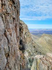
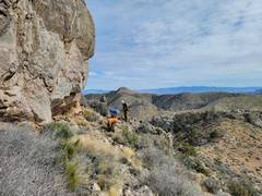
 View down to SE from top of crux (pictures of crux below) |
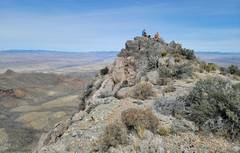
 View ~S, with 6921 to R. We've come up the crappy class 2-3 and are now just walking N to summit. |
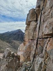
 View ~SE from top. Peak 5804 in left middle, and snowy Virgin Mts at R skyline. |
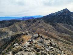
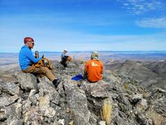 Summit |
 View ~SSW with snowy 7365 in distance |
 |
 Heading down, high cliffs to L (E) |
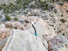
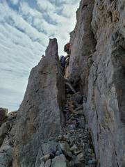
 Bottom part of crux, view S, total 10-15'. I came down on a Munter on doubled 16mm webbing. |
 View N from crux |
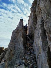 View ~S to Tracy at crux. |
 Tracy belays Bob on descent of crux. |
 Downclimb below crux; shot is looking UP. |
 |
 |
 Another shot looking UP. Just class 3, but tricky footing. |
 |
 Resting on "level" ground. Crux is about 70' up to left at top of cliff. |
 View of 6235 as we head back |
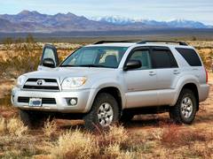 Andy's 4Runner is one of two cars to go the 30 mile RT of rough roads twice. |
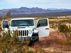 Tracy's Jeep is the other. |
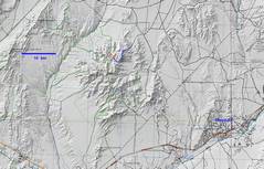 Oops! Context map. |
||