Peak 6955 and McCullough, 21 years later
(southeast Nevada)

H.W.Stockman
May 10, 2024

Nick and I went to McCullough more than 21 years before. The summit was somewhat underwhelming, but we saw the neater peak 6955 to the north, and promptly went to its rocky summit. Back then the road in from Jean and the west was crappy -- now it is even crappier. This time I took a pretty pleasant loop over the two peaks (well, except for my "exploratory" stupid descent from McCullough!).  I never plan to drive these west side roads again, so I'll give some hints below how one can best approach this peak from the saner east side route (and roads). I've been to McCullough 2x from west, and 2x from southeast, and heartily prefer the latter approach, especially when there is just a bit of snow.

gpx files:

This trip, with extra tracks if you want to take east route: 6955_w.gpx
Route to McCullough from southeast,  including drive as of 2013; NOTE the waypoints: mcc_e.gpx

If you have a retarded browser (IE), you may get a gooobledygook xml file onscreen, instead of a download. If that happens, you need to get the download menu

To see the download menu, either right click (PC) on the link or use a long press (phone, tablet) on the file name.  Then you must "save as" or "save link" or "download link" depending on your platform and browser.

000
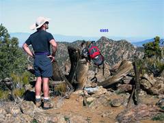
Here I was on
McCullough 21 years
ago, looking at our
next goal-- a nicer,
rockier (but 71'
lower) peak.
0map0
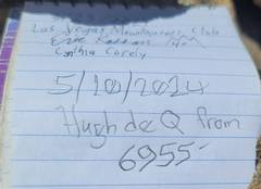
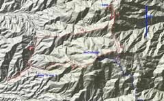
Red is my track from
May 10, 2024. The blue
is the standard route
from the SE. To reach
6955 from McCullough,
 reverse my red
track toward 6893,
but before you reach
6893, cut down to
the NNW- and N-
running ridge.
Return the same way,
drop down the purple
track to blue track out.
Extra 2.7 miles RT.
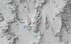
1map0
context
20240510_090458
The ridges east up the
red track were mainly
gentle, with occasional
rocky stuff you could
always bypass, class 2
at most.
20240510_090941
View N to snowy
Charleston as
I ascend red track.
20240510_092210
Lots of cow action
up here. I saw newish
cow flop just 20'
below McCullough
summit.
20240510_100231
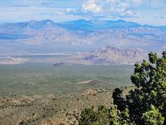
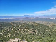
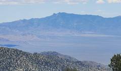
View W, with Clark
Mt at L, Lucy Gray
Mts in Middle. Ivanpah
solar bird-burners
visible.
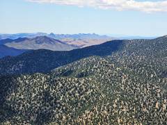
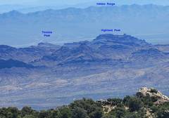
20240510_103432
Some peaks to E
20240510_103504
View W, to
show generally
benign ridge.
20240510_103515
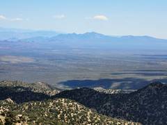
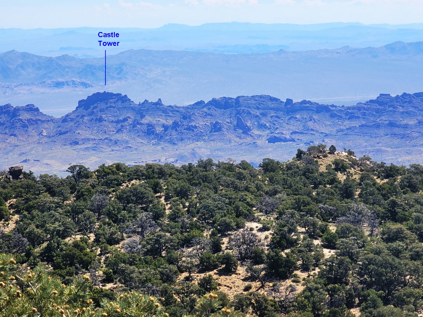
View E over
Castle Tower.
20240510_103531
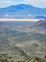
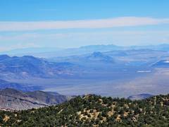
Railroad Peak,
Muddies in back.
20240510_103704
20240510_114845
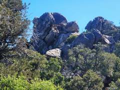
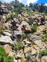
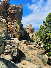
Rough rocks
easily avoided
at R
20240510_115337
Claret cups
20240510_120721
On summit
McCullough.
I was last here
in 2013!
20240510_120915 20240510_121457
Spirit Mt
20240510_121501
Hart Mt L distance
20240510_121508
New York Mts
20240510_122412
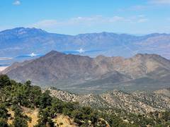
Again Clark to W
with bird-burners.
20240510_130928
I picked a bad
route down.
20240510_131716
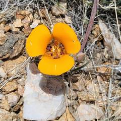
yellow variant
Mariposa lily.
20240510_132338
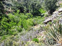
The "spring"
was a bust.