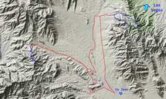
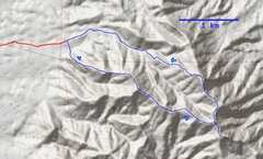
 I 1st tried Shenandoah on the west side, then went up a rocky but easy 4x4/HC road to Bird Springs Highpoint and Bird VABM. I came back via the gasline access road on the east; this road is less rocky, but very roller-coaster, and is not possible in vehicles with poor approach angle. |
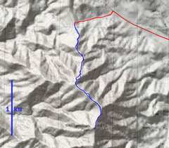 The road to Shenandoah is passenger-car quality except for the last 200' vertical. The route is mostly class 1, with a few place one may use hands. |
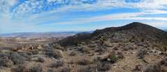
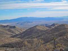
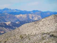
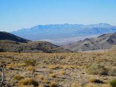 I've started up Shenandoah, and am looking W to the Kingston Range, over Sandy Valley. |
 That's not the top! |
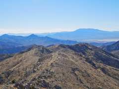
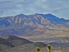
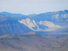
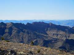 To the SW is a more impressive range, up from Smithsonite Mine |
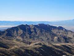
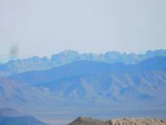
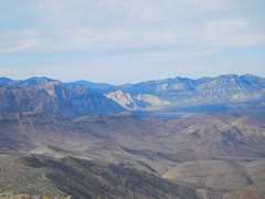
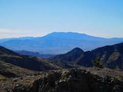 Clark Mt ~S |
 That's the peak |
 |
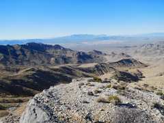
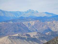
 View ~S from peak |
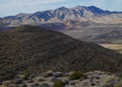
 More impressive range to SW |
 |
 |
 Next I drove E and then N to get to Bird Spring Range |
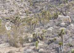 Horses as I started up a ridge to Bird VABM. |
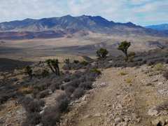
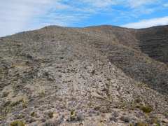 Not exciting terrain, but easy hiking. |
 Potosi to the NW |
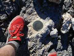
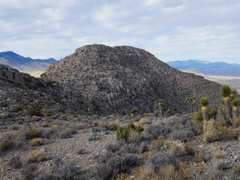
 The Bird VABM. |
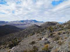
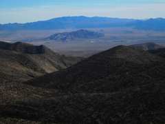 View across SE, over Sheep Mt to McCullough Range |
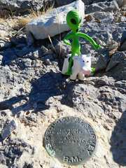
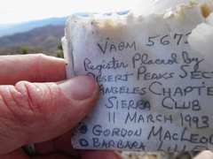 Register was too decayed to add. |
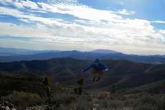 Hard to jump in 40 mph gusts |
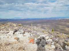
 View S |
 Potosi again |
 Mummy Mt to N |
 Castle NV range ~E |
 S Red Rock in middle |
 |
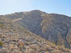
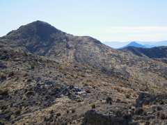
 The Highpoint |
 NNE from'Highpoint |
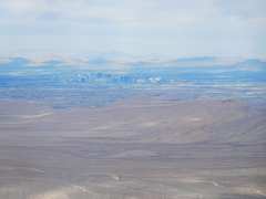 Vegas |
 Mt Wilson at L, White Rock Hills in sunlight |
 White Rock Hills and White Rock Springs Peak |
 Heading down rough road from HighPoint |
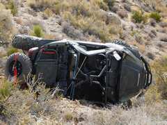 ATV rolled down hill from road. Side-by-side ATVs have a high center of gravity, not suited for the side-sloped road. |