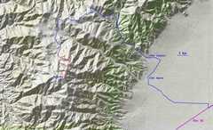
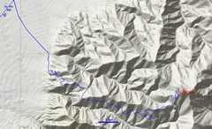
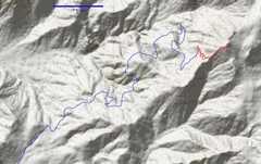
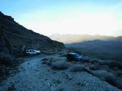
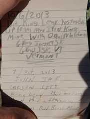
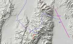
 First up was Mount Augusta. We reached a decent camp in War Canyon about 7:30PM the night before. Here's a large-scale map of roads. |
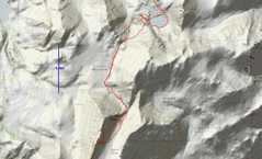
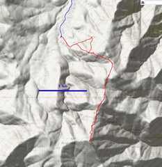 The route from the last 4x4 spot requires about 2300' accumulated gain. |
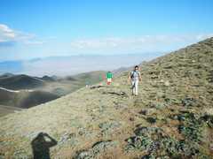
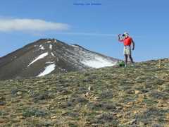
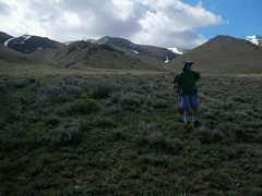
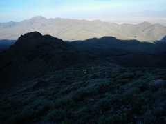
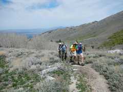
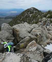
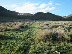 Starting out SE. |
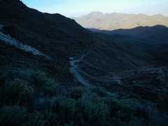
 The route starts on an old road. |
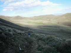
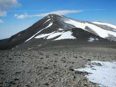
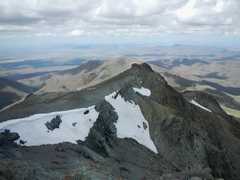
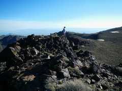
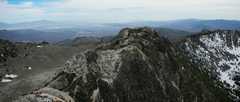
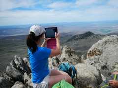
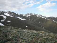 Augusta appears in center distance. |
 |
 |
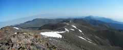
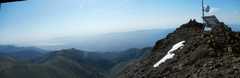
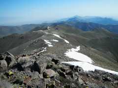
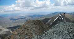
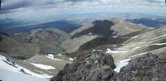
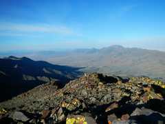
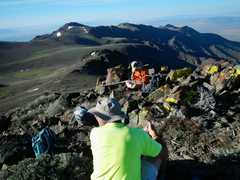
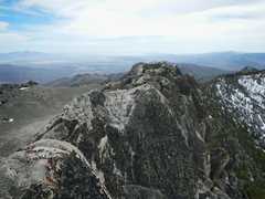
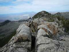
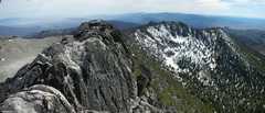
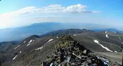 View from summit. Desatoya Twins across valley. |
 |
 |
 |
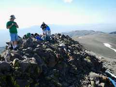
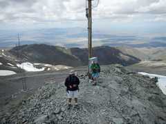
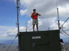
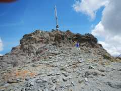
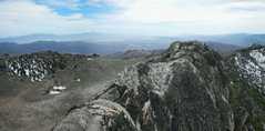
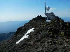 Relay station on top (very new). |
 |
 |
 |
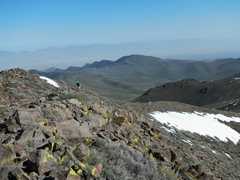
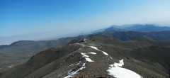
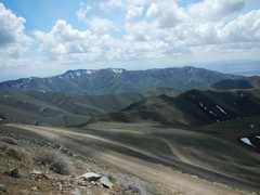
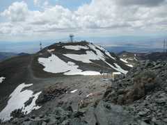
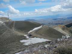
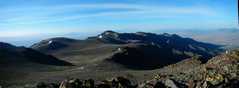
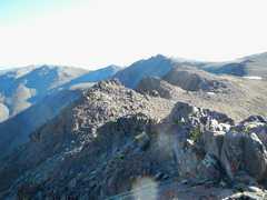
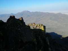
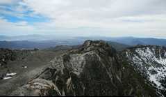
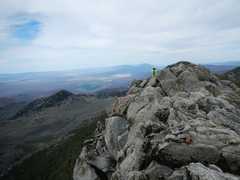
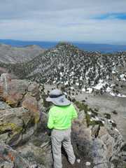
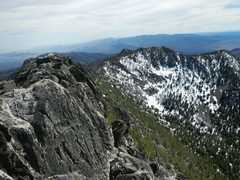
 View ~NNW |
 |
 |
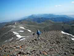 |
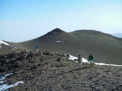
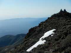
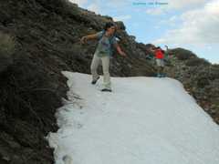
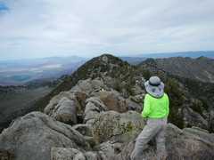
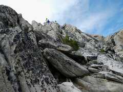
 Descending. View back to top. |
 |
 |
 |
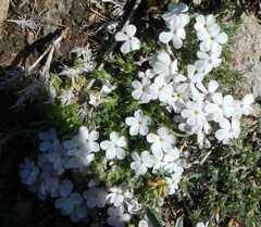
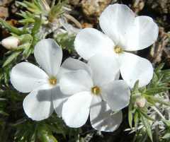
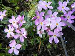
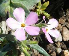 Phlox |
 Granite Gilia |
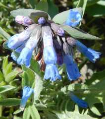
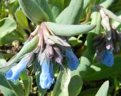 Bluebells |
 |
 |
 |
 |
 |
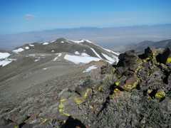
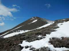
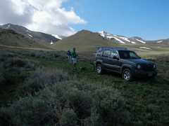
 Augusta on way out. |
 Next that day -- Lewis, S of Battle Mt. This can be a drive-up to within 100'. We chose to walk a little. |
 |
 View S off road. |
 |
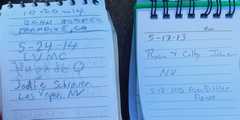
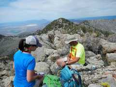
 Courtesy Joel B. |
 |
 |
 |
 |
 |
 |
 |
 |
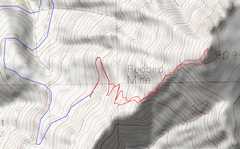
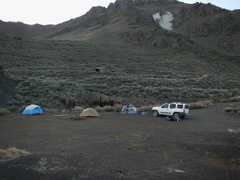
 We stayed that night by the Red Bird Mine on the W side of Jackson HP. We had to pull some really big rocks out of the road. |
 |
 View E from our camp by the mine. |
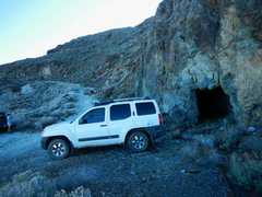
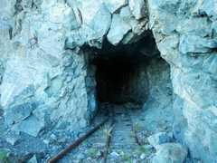 Next morn we drove up a bit till the road at ~7900' was blocked by a huge boulder. Adit at the last parking. |
 |
 |
 |
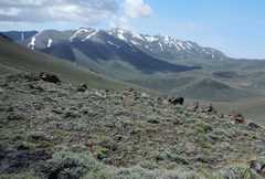
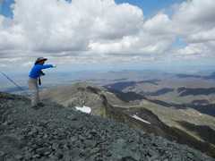
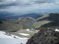
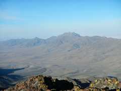
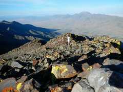
 View S to King Lear from top. |
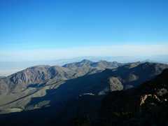
 View NE across vast tableland at top. |
 |
 |
 |
 |
 |
 |
 |
 |
 |
 |
 |
 That same day, we drove up and headed W on what was a very rough road, to meet Dave and Al at Blue Lake. The next day we drove out the more sedate W route. |
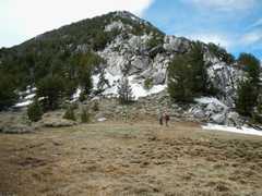
 We started from Blue Lake about 11:45, and headed toward Duffer. Kay and I got separated from the rest of the group and traversed to the top to avoid snow. I think we were on the highest point, and there was a register. |
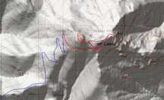
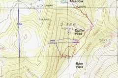 The mapping by photo- grammetry is ambiguous. The two marked elevations represent distinct rocky areas on the aerial photos, and not necessarily local highpoints. The 9400'+ peaklets in the middle are tree-covered, and not suitable for elevation checks. |
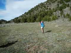
 Starting out on hike. |
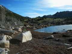
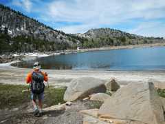 Blue Lake. |
 |
 |
 View N as Kay works up summit ridge. |
 I visited this point to S, Which is the site of the 9428' mark on maps. It is definitely lower than peaklet with register, but was probably a sharper target for photogrammetric elevations. |
 |
 |
 |
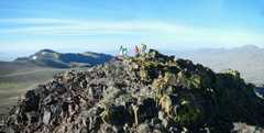
 Kay back on peak with register. |
 |
 Joel and Jodie showed up ~30 minutes later. The rest of the group arrived about 45- 50 minutes after that. |
 |
 Kay looks NE. |
 |
 |
 |
 |
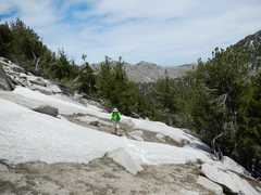
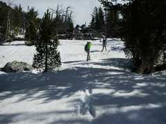 Down through the snow. |
 |
 Back at Blue Lake. |
 |