| Some maps to start: |
|||
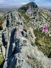
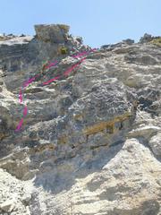
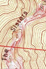 This map shows all the waypoints, but you will need to zoom in read labels. |
 Critical waypoints Heading N of South Sister, near "the plank." The old route is in green. |
 Waypoints up North Sister. |
|
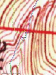
| Starting up South Sister | Off the N side of South Sister by "The Plank." |
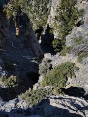
||
 The Class 3 chute on the S side of South Sister. The old traverse had one descend back down this chute, then drop as indicated, to head N on the E side of the cliffs. |
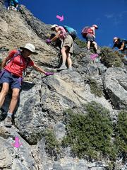
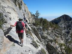
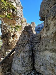
 The first tricky spot is where one drops off the ridge ("the plank") that runs N from South Sister. View NNE. At the arrows, one first drops R (NE) to a poorly- defined ledge, then heads hard R (S). Note dead tree below to NE. |
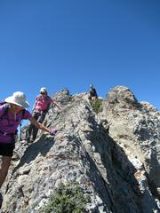 View SSE, before hard R |
|
 Similar to previous view. |
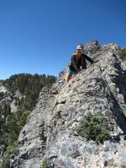
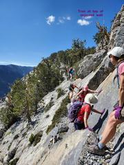
 Similar to previous. This cairn was gone after ~2015, BUT recently a new cairn was placed on the wrong spot! The photographer is standing about where one turns sharp S. |
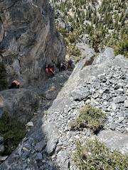
 Similar to last view, showing people reversing direction at the "hard R turn" to head S down the wall. The hiker on the R side of image is trying to get past an awkwardly-placed bush. |
|
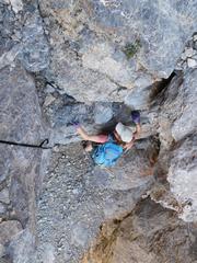
| Getting to and across exposed traverse |
|||
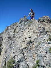
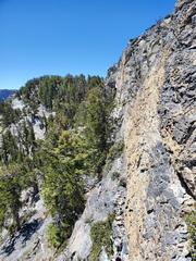 This view is S from the middle of the last image, showing the light tan and contrasting limestone seen in the previous image. |
 After dropping off the plank, continue down one more slot. At.the bottom, turn N to traverse... |
 ...to below this arch. Come up through the arch, then turn E (R) again and descend to start the traverse. |
|
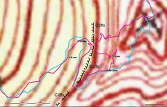
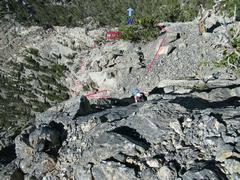
| Now head to North Sister |
|||
 View N from S end of creepy traverse. |
 View S from N end of creepy traverse. |
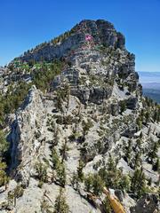 Near the N base of South Sister, view NNE. The area indicated by arrow is zoomed in next image. |
|
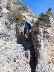
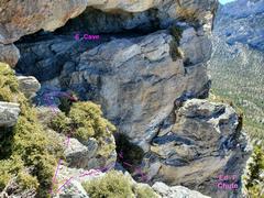
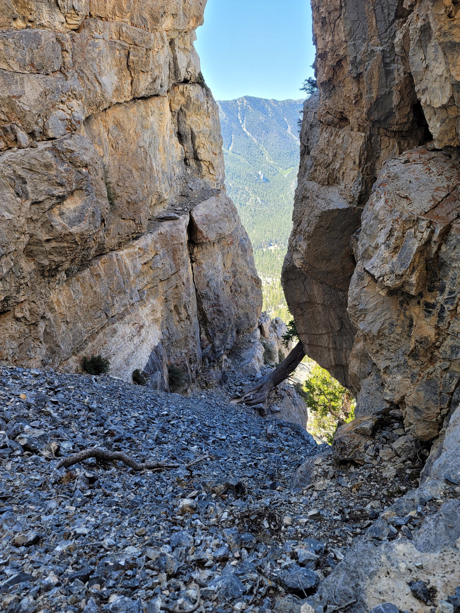
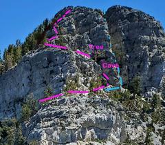 This is a critical bit of route-finding. As one travels along the lower magenta route, on the SE side of North Sister, the tree and cave become visible. |
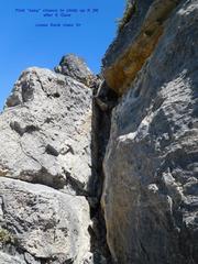
 But first one takes a sharp L at L_down_cliff (heads SW), then takes a sharp R to reach the point show above: ThruSlot. The slot is noramlly passed with aid of log at L. |
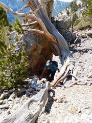
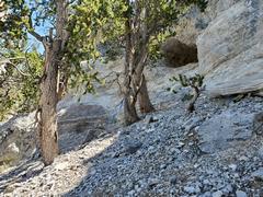 Next one travels talus-covered slopes on L (W) side of North Sister. When the cave is visible in ledges at R, one head L to pass a small obstacle. THIS IS THE W SIDE CAVE! |
|
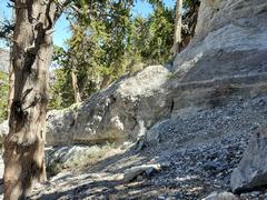 The climb directly over the obstacle is suprisingly hard; it is easier to go L. After the obstacle, continue (R2Ridge) up a miserable talus/rock slope, then cut hard R at top of next ledge. |
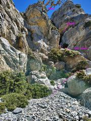 Now on the SE side of North Sister. The tree and E CAVE from 4 pictures back become visible. Waypoint EdF_chute ahead at R. |
 View S down EdF chute. |
|
 When one reaches top of chute, it is necessary to gain ledge S of cave. The two common approaches are shown. View N. Be very wary of loose rock. |
 Then head W from cave. The 1st way to ascend the cliffs is this sketchy chute, roughly cl 4. The chute is to R (N) as you head W across the base of cliff (above the chockstone, this chute jogs R). Easier: go another 20' W, then turn R (N) up two steep cl 3 chutes. |
 View down and S over 1st of 2 easier class 3 chutes |
|
| The Mistake Chute |
|||
 At top of either set of chutes, turn R and face E toward this wall, and carefully climb to the top. |
|
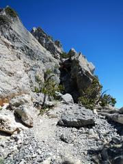
 This is the worst crux of Mistake Chute |
|
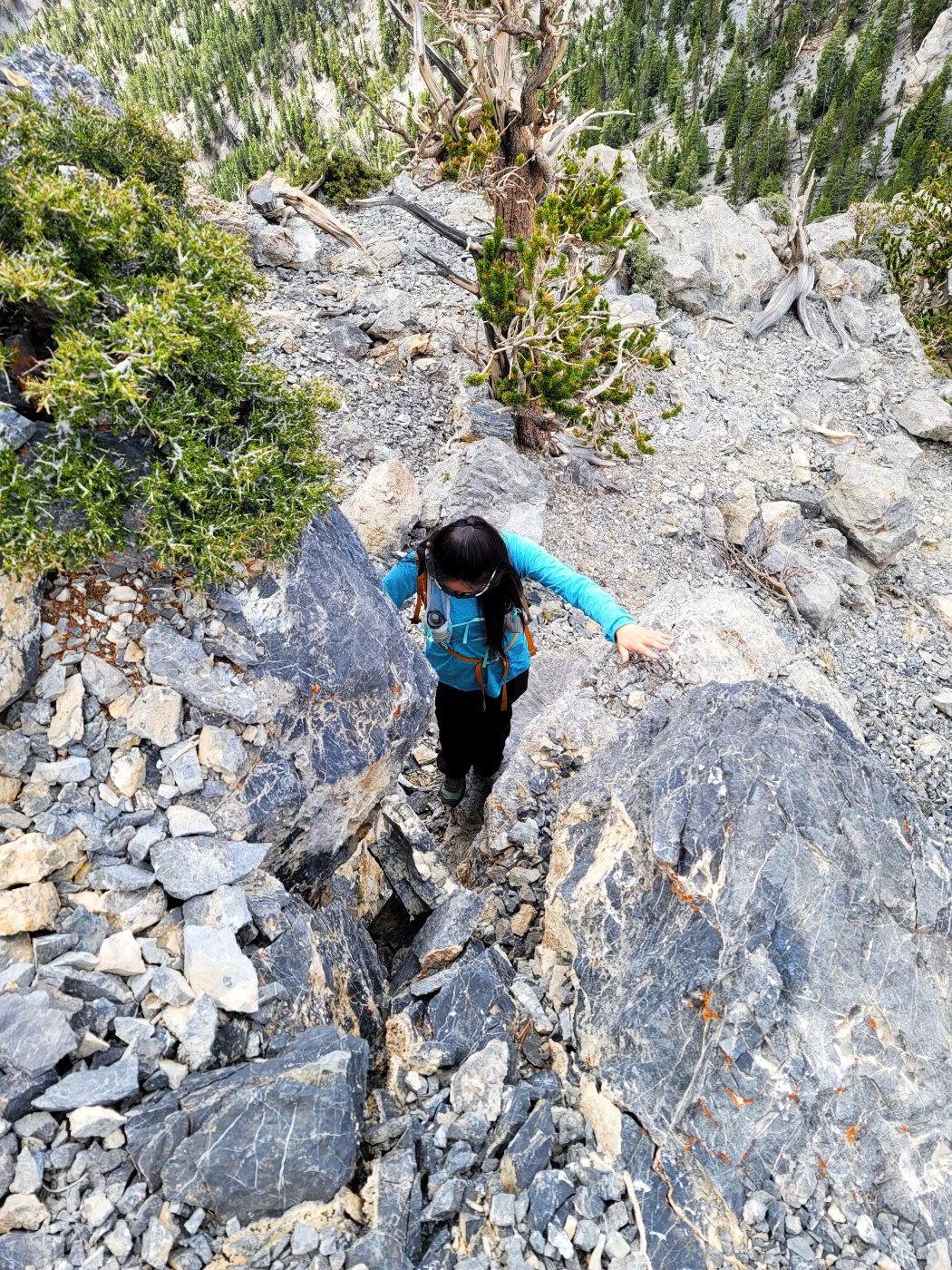
 View S, above crux. Now slippery talus... |
 ...up to here. Now one is right below North Sister, and must escape the chute by heading directly N (where view is taken, class 4) or heading diagonally up E wall of chute (cl 3+). |