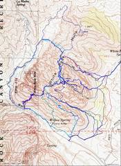
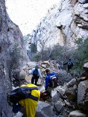
 So here are at least 15 trips from GPS logs. |
 The most recent, Dec 10, 2022, with Michelle, on a cold day. This was also the 1st route I took 20 years before, from the SW. |
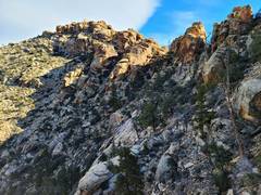
 Snoopy in Back |
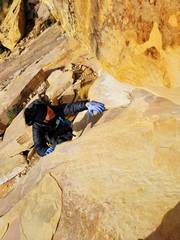
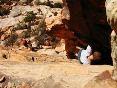
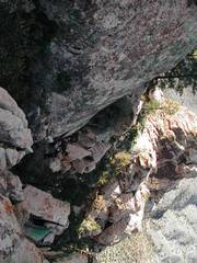
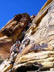
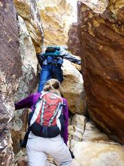
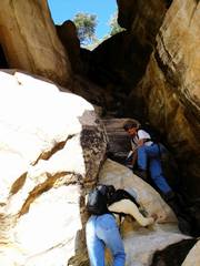
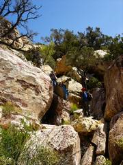
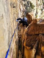 The chimney. Strap was just to haul packs. |
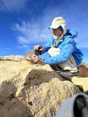
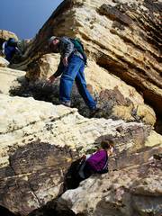
 Michelle plucks cactus needles out of her leg for about 15 minutes! |
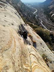
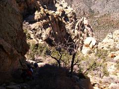
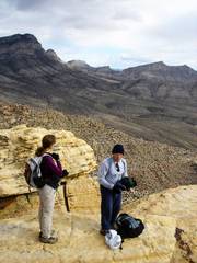
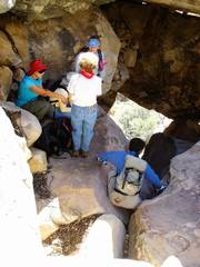
 There is an alternate route here, which we found on way back |
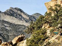
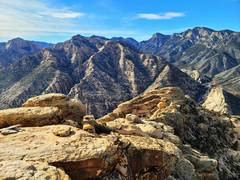
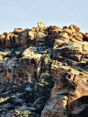
 TV and Calico to E |
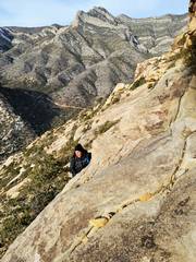
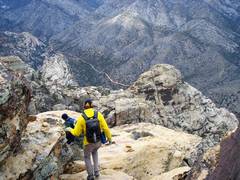
 WRSP and Madre Mts to N |
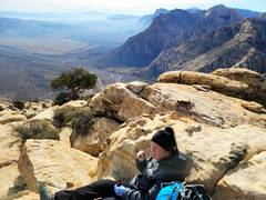
 SSW toward Bridge et al |
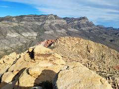
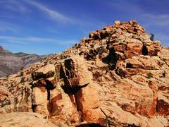
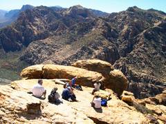
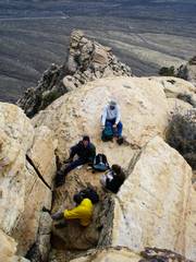
 View SSE at summit |
 |
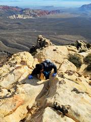
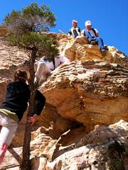
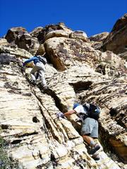
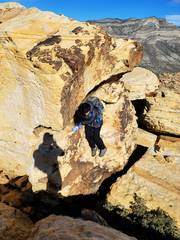 Michelle descends summit block |
 View back NE at peak |
 zoom |
 More than 20 years back. Valerie and Steve Nguyen at chimney, Nov 16, 2002. Few cairns, strange BW instructions. |
 We were correct in surmising this was summit block; but BW instructions became inscrutable, and cairns disappeared. |
 Val below, as I return from climbing a bunch of minor summits, where I actually did find cairns. We bailed because it would be dark in 3 hrs. |
 On Mar 3, 2003, I joined a Sierra Club trip. I knew the way, but the SC got lost. Donnie B followed me, and spotted them down at 2nd notch. |
 View S from Summit, SC crew, at least 1 of whom is now passed. |
 Heading down. |
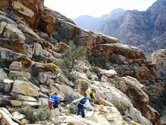
 SC folks descending chimney. |
 Jan 15, 2006. Doyle heading up. |
 Near top, Judy PK at left, Peter B at right. Peter passed away in 2021. |
 Peter with TV Peak in back, to E. |
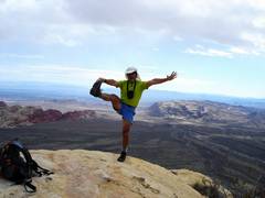 Me, with more and darker hair. |
 |
 We beat a retreat as snow started. |
 More snow. |
 We went down the west side (SW) class 2 gully as the rocks were so slick with snow. |
 Apr 6, 2006. Trip up E side (SE) gully. Eva top, Barb below. Eva passed in 2019. |
 Luba at L. |
 Richard N top, Peter B below. |
 |