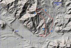
 My track on USGS topo. |
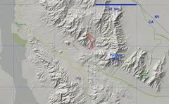 Zoom out for context |
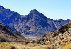
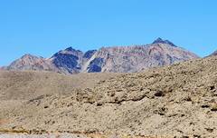 As one travels WNW on rte 190, Bagger first comes into view a bit past Pyramid. |
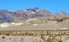 Then another mile W, and there is this view north from rte 190. I started at the quarry, went up the ridge as indicated, then cut NW to the peak. |
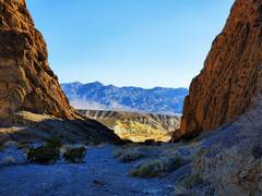
 day before, approaching Hole-in-Wall, a narrow pass through a 300'-high rock band |
 My camp in shade (about 4PM) |
 Folks camped right in the pass. |
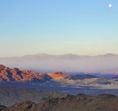 Next morn. Telescope Peak at L, ~SW, gibbous moon still pretty high in sky |
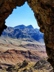
 West end of Pyramid Peak to SE. |
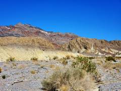
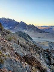
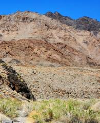
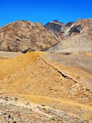
 about 3500', first sight of peak over tan ridge to N |
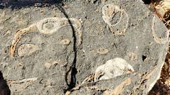 |
 axial section of gastropod |
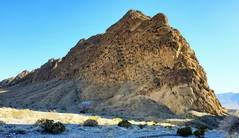
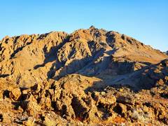
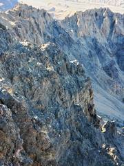
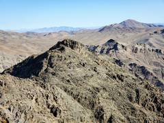
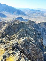
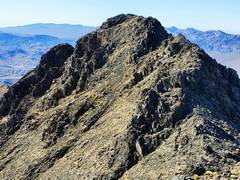
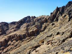
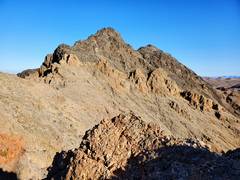 The sharper peaks are composed of a very abrasive dark dolostone. There is a notch before main summit, not apparent here. |
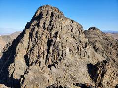 The way I chose up the S face had a few class 4 moves, at least for a short guy. |
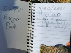 I left a register. No cairn or survey station on top, no sign of visitation. I saw two cairns 1000' lower, but they may mark an old boundary. |
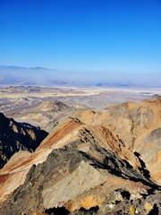
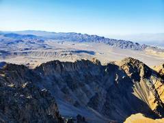 View south from summit. |
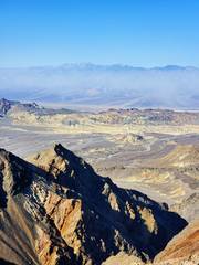
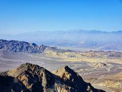 view ~SW, Telescope in back. Wind has kicked up dust. |
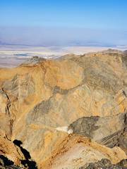
 View directly S below summit |
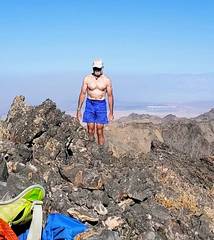 I'm 66, Give me a break. I lost 17 lbs (from 142 to 125) 2.5 months back, from covid-19. |
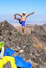 I haven't done Yoga in 8 years. The strong wind gusts knocked me over every time I tried a scale. |
 View to mundane N Peak. This one can be reached by nasty class 2 with many sharp rocks. |
 View to W, with Furnace Cr. at R, and dust |
 View ~WNW |
 View SW |
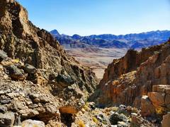
 another view of cliffs on S side. |
 Now I'm on N Peak, view back to class 2 nasty talus on N side of peak |
 I headed down the E side of N peak, gingerly picking way with most solid rock. |
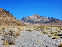
 These peaks are ~6000', on east side of Funeral Mts. |
 I avoid "obvious" descent |
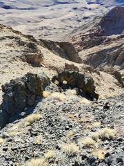
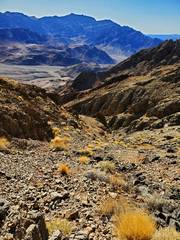 Heading for canyon |
 The canyon had no bad dryfalls. My planned route was over cliffs at L. No thanks. |
 |
 |
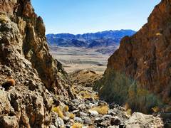
 Almost in the main wash, view W back UP at peak |
 Nice peaklet on west side of Pyramid Massif |
 View back N to Schwab |
 Back to quarry. |
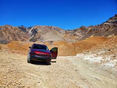 Jeep sweet Jeep. |
|