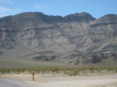
Last
Chance Highpoint from SE
pics by Harlan W. S. See previous report for west route. This route is more scenic, and actually
easier; nothing need be harder than class 2.
I had suggested this route to Dr F and LL, and thought I should check
it out first. These mountains are strikingly similar to the Arrow Range. |
|
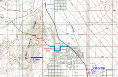
Roads start off rte 160, NW of Pahrump. Travel then turn S (L) on Gahn, then W (R) on Mae, then N (R) on
Mountain iew, then W (L) on Carrol again and drive to the end. Park on BLM property on N side. |
24k map of GPS track. |
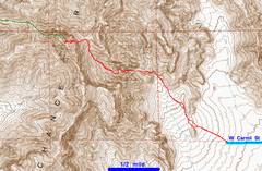
View WNW from Carrol, route shown. |
|
|
|
|
|
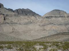
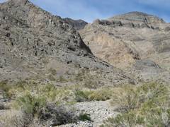
Just WNW of parking spot. |
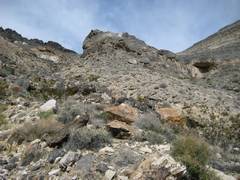
The main wash continues to R; you want to go up the steeper wash at L. |
The steeper wash. |
|
|
|
|
|
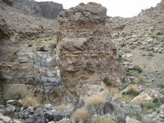
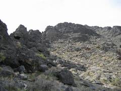
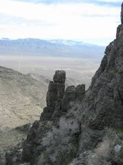
You can climb the class 3 dryfall at L of this pinnacle; or you can just climb the talus on the R. |
|
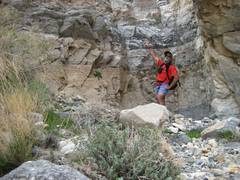
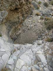
View back down the dryfall. |
|
|
|
|
|
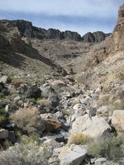
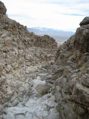
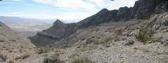
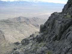
View back down the canyon. |
View up the canyon. |
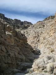
To the L is a possible cut up to the ridge. For class 2, go R. The tan band is the Eureka Quartzite. |
|
|
|
|
|
Go L of this knob. |
At the saddle, view ESE. |
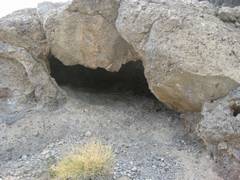
At the saddle; who lives here? |
|
|
|
|
|
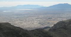
View up W from saddle. Stay close to the cliffs for better footing, eventually passing to gully on R side. |
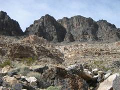
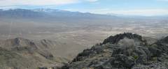
View back to Charleston. |
Surprise! Dr. F and LL were actually here the day before! |
|
|
|
|
|
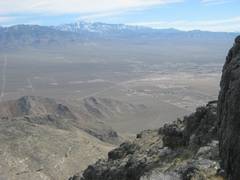
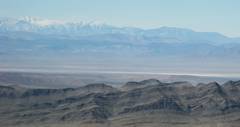
Panorama E-ESE, |
Panorama SE; Kingston in middle distance, Nopah Ridge and P Point at R. |
Telescope at L in distance. |
|
|
|
|
|
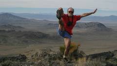
Icky face in strong winds. |
Descent, showing line down to saddle. |
|
|
|
|
|
|
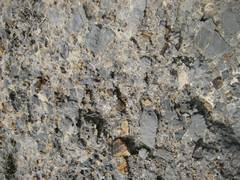
Thrust sheet breccia. |
|
|
|
|
|
|