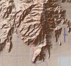
 My route in red; blue is the HC road (rocky but not bad). |
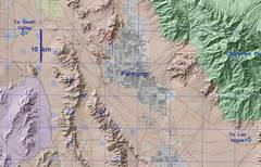 Context. Mapping programs may try to send you on a road from Bell-Vista, N and on the W side of homes; that road is full of fine clay, and is treacherous after a rain. Stick to the bumpy road farther W. |
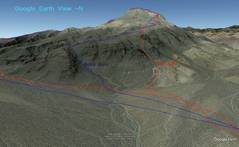 GE synthetic showing my route (red) and Bob G's route (blue) |
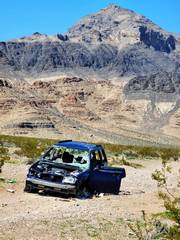 Starting in; "so Nevada" with a wrecked, stolen car, and view of the destination peak in back. This road (N from from Bel-Vista Road) was very bumpy, but preferable to the road east, which may have 6" of slick mud. |
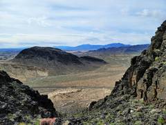
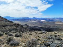
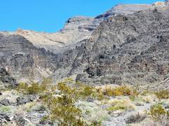
 View of the S, lower range, as the HC road turns west. |
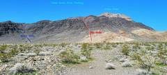 View at parking, again contrasting the two choices. My route was mainly low on loose talus. |
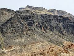
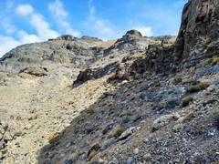
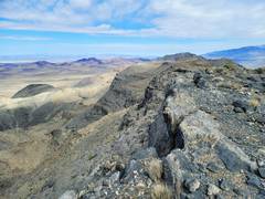
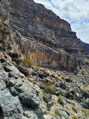
 Now I'm looking S from my ascent gully. |
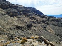
 From same gully, but zoomed 5x. Pahrump Point is on skyline. |
 At the top on my gully, I worked my way NE, heading to a cliff band. You will also need to find a way up that nubble above cliff. |
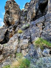 I found a very steep but stair-steppy weakness. |
 View back down weakness. |
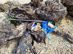 Near summit, someone had cached a hoe and blue tarps. |
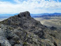
 Summit, view ~N to range HiPt. |
 View ~SW-SSW to Stewart Point. |
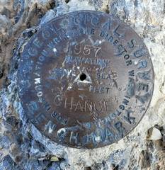
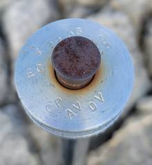 Odd monument next to old metal ?antenna? on top. |
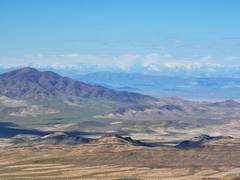
 ~E toward Charleston Peak (in clouds) |
 NW Spring Mts, including Mt Stirling to NE |
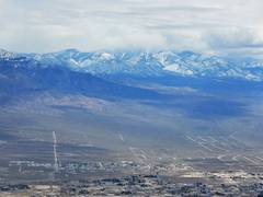
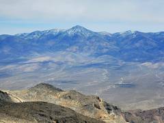
 Snow-covered Panamints to W across Death Valley. |
 View N to HiPt |
 |
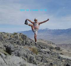 Sports bra drawn in for modesty. |
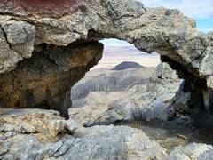 View ~NW through window on N side of summit. In a bit, we'll look back up at this window. |
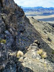
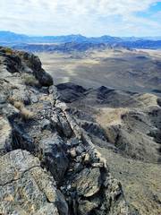
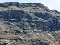
 View back S over erosional "caves" in W side |
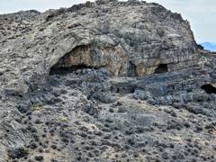 More erosion caves |
 |
 Bob's track was very useful in finding a break in the cliffs on descent. |
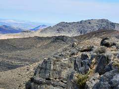
 View ~SSE, to W side of summit. |
 I thought I might try descending the canyon, but with 30' of rope, I wasn't cool on hitting hidden dryfalls. |
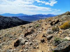 So I followed Bob's track, which for at least a mile seemed to follow an old pack trail. |
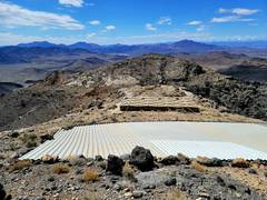 View S over guzzler |
 View ~E |
 Zoom in, you can see window near summit. |
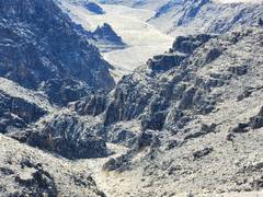
 View back N up Canyon. A very tortuous channel is hidden in the cliffs. |
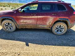 On way out, I tried to follow road on W side of houses. The car almost mired in 6" of clay mud; 4low and locker got me out, barely |
||