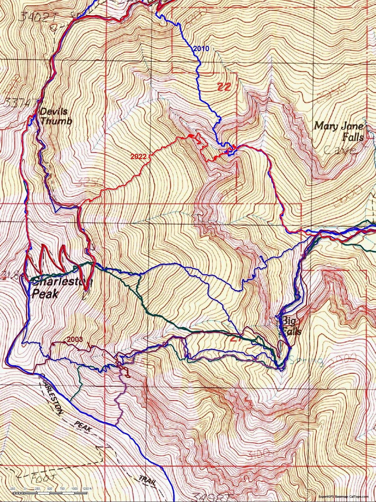
 Some of the routes near the "East Face" of Charleston over the years. 2010 is here. In 2003 I was solo and very lost. |
||
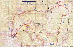 OK, back to 05/31/2022. BW waypoints in yellow. I found landmarks that matched the early BW descriptions, and I think I was right on top of his 2nd waypoint. Numbers on map referenced in subsequent text. |
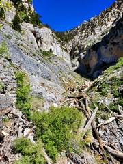
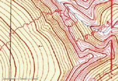 Zoom in last map to show my wanderings. When I tried to find a critical class 3 gully "40 yards" NW of a class 2 chute, the gully seemed to be blocked by a huge chokestone. |
 Zoom out for context. |
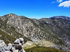
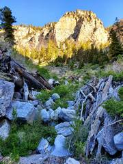 From near 1, view WNW. I climbed that ridge in 2010. |
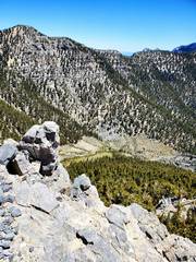
 Near 2, view ESE. |
 |
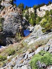
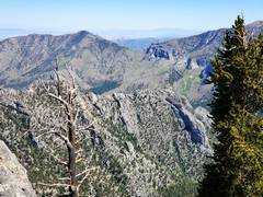
 W of 2; I'll be among the cliffs shortly. View W. |
 View S between 2 and 3. I'm fairly sure this is where BW meant people to go, but it doesn't match the waypoint or photo. There is a cairn. |
 Fixed 10 mm rope. I think this is a bail rope from someone who go stuck on descent. I climbed around it. Still between 2 and 3. |
 The rock at left match a BW photo. I found another cairn on slope to R. |
 |
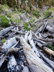
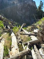
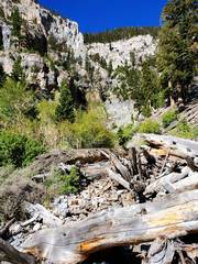
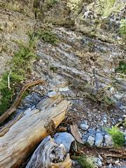
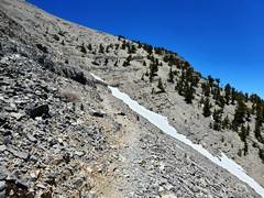
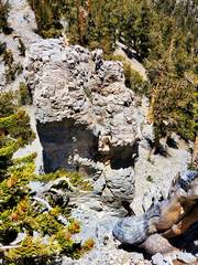
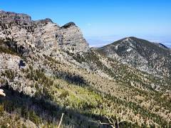
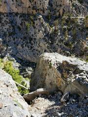 I'm pretty sure this is the start of the class 2 gully for waypoint 2. The bottom is sketchy. |
 View NW up canyon N of waypoint ce2. Supposedly there is a class 3 gully on L 40 yds from here. I'm guessing that gully is now blocked. I went up the next scary gully, on cliffs that would probably be judged 5.2 to 5.6. |
 |
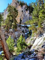
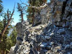 Now magically I'm up near 4 on map. Terrain still surprisingly rough. |
 |
 |
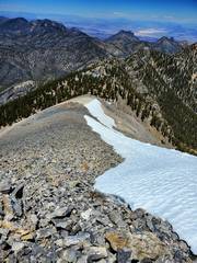
 Almost at NLT (north loop trail). |
 5, on NLT. |
 |
 |
 Sports bra drwn in for modesty. |
 |
 Now view N to 6, down Devil's Thumb Shortcut. |
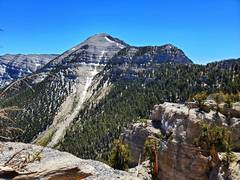
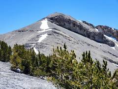 View S from 6, of Charleston Peak. |
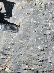
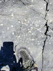 gastropod fossils |
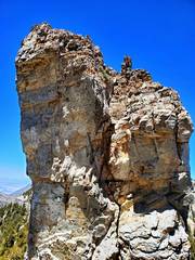
 Hawley Point has only 15' prominence, and the top is 2' wide. The left (N) side has one scary, exposed, committing move. The top has a very shallow horn for an anchor. |
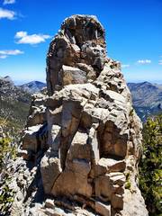
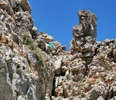
 Near 7, top of Devil's Thumb viewed to N. |
 Devil's Thumb viewed to N |
 Rapide barely visible. |
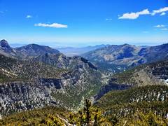
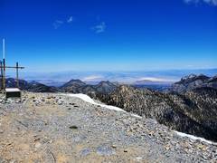
 View of Chas to SSE, ~ between 7 and 8. |
 tabulate corals |
 Harris Mt |
 View NW from ~8, |
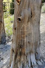 The Mummy tree, a dead bristlecone near 9. The "M" has been there at least since 1993. |
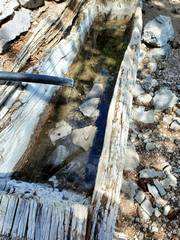 Trough at Cave Springs. |
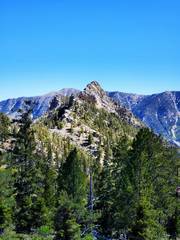 View S to Cockscomb, from near 10. |
||