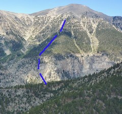
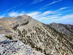
 The ascent route is even more direct than the Big Falls routes, but gains ~500' in very cliffy terrain. View from Cockscomb. |
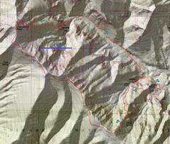 The route I took in 2022. The 1st significant oops is discussed below. |
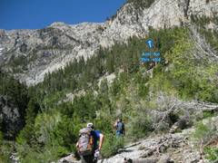
 Context. I started at the Mary Jane Falls parking. |
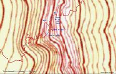 A blow-up of the 2022 gpx trace for my 1st oops. I tried to find another way around a rough section, and ended on ~5.5 terrain. |
 2012, looking UP to SE. The 1st cliff band is hidden behind trees. |
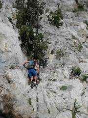
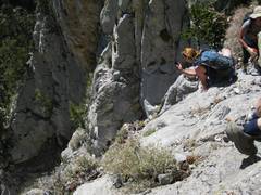
 2012 Dr. F. breaks through the 1st cliff band. There was a pile of cheater stones near here in 2014 and 2022. |
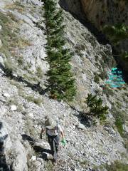
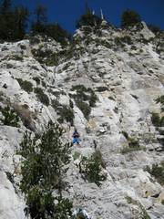
 2012. Luba climbs above 1st break. From here one travels S (R in photo) over a scree- covered ledge. |
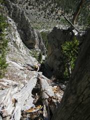
 Approaching S to gully. |
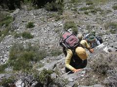
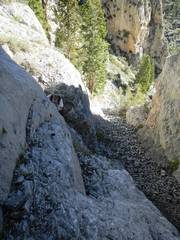
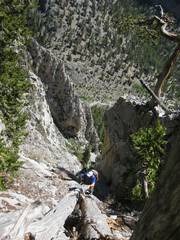
 2014. I'm in gully, view NE along scree-covered bench. |
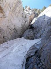 2012. View up gully. Snow was serious, but provided a 2' "boost" over 2nd obstacle |
 2014. Barb found some way to skirt the rock at left to ease past 2nd obstacle. |
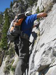
 2014. Barb nears 2nd handline. In 2022 I climbed far on the mid-upper left and had a very sketchy decent back Barb's position. |
 2012. Easier terrain. |
 2012. Then harder. |
 Then harder. 2012. |
 2012. |
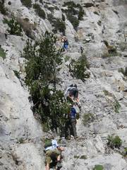
 2012. Joseph dropped a handline somewhere around here |
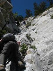
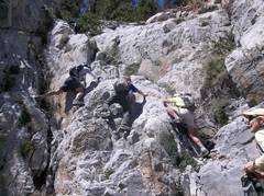 The 3rd crux. I am in shorts and greenish shirt at R; my way seems to be easiest, but needs some stretch. In 2014- 2022 a technora- sheathed rope appeared here as a handline. |
 2012 View down steep loose ramp above 3rd crux. |
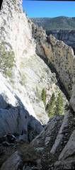
 2012. From here follow cairns over mostly class 1 terrain to North Loop Trail. Some cliffs en route. |
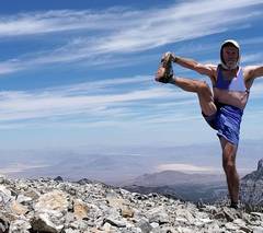 2022. Magically I'm on Charleston Peak, sports bra drawn in for modesty. Backstory: A well-built female friend argued that if men were allowed to pose shirtless on peaks, so should women. So this is my compromise. |
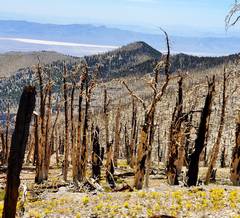
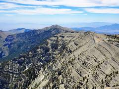 View E from Charleston |
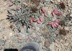 still 2022. Freckled Milkvetch. |
 2022 View E. The use trail at left avoids one big elevation loss and gain. It was not obvious before 2017, but then strava came along. |
 View back W at Charleston |
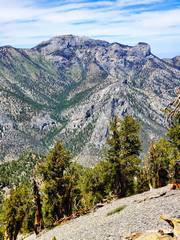
 View WSW at "Chopper Tom." |
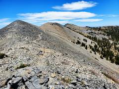
 2022, about to leave South Loop Trail and head NE and N on Cathedral Rock Ridge. Mummy to NNE. |
 This route seems abandoned, and is brushy in places. |
||