Chopper Tom Peak (3136m)

Pics by Harlan W S
June 19, 2022

from SLT
"Chopper Tom" Hawley was a favorite Las Vegas newsman, who died of pancreatic cancer in Oct., 2021. He was an avid hiker (he had done his best time up Mummy just 4 months before his death). The significance of this little peak (except that is was apparently unclimbed) is that it sits on the divide between Trout and Carpenter Canyons. Tom was the only local newsman to realize that the 2013 "Carpenter Fire" really ravaged Trout Canyon, and barely touched Carpenter Canyon.

This obscure peak has just 230' prominence, but is surprisingly hard to reach. The Carpenter Canyon Road is the main access, and is a bumpy, ball-joint-wearing 12 miles (hope you don't encounter another vehicle going the opposite direct in the narrow parts). The closest to "trail" is a faint fisherman's herd path on the S side of the canyon, but most of the route shown in red on the maps is steep trailess talus. Descent of this route is a controlled fall, and the hiker is advised to wear boot with lugs and some ankle support. Next time I may attempt to take the blue dotted route.

00_GE_from_W
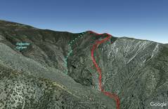
Google Earth synthetic
view of the route I took
(red) and a route I might try (blue)
0map0
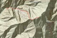
USGS map. Route
was a stairmaster on
way up, and could be
just class 2.
1map0
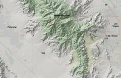
A zoom out for context.
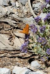
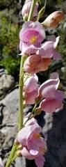
20220619_090328
Palmer Penstemon.
20220619_093951
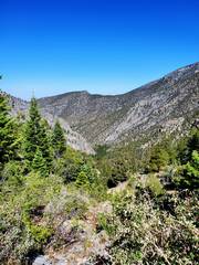
View of Lower Carpenter
Canyon to W. Early on
in gully
20220619_104713
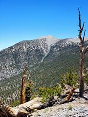
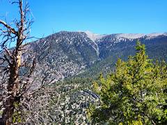
View of Charlston Peak, 11,916'
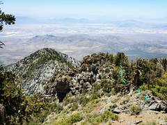
20220619_114511
Peaklet to S.
20220619_120558 Disturbing picture
of animal
behavior.

20220619_123023
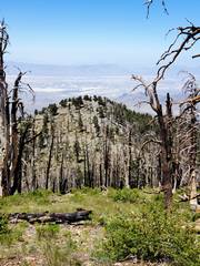
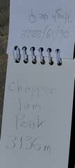
Charleston Peak
to N, from near
summit 3136m.
20220619_123122
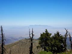
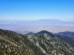
Potosi (left of center)
to SE.
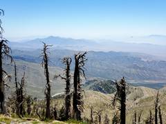
20220619_123127
Kingston to SSW
20220619_123127b
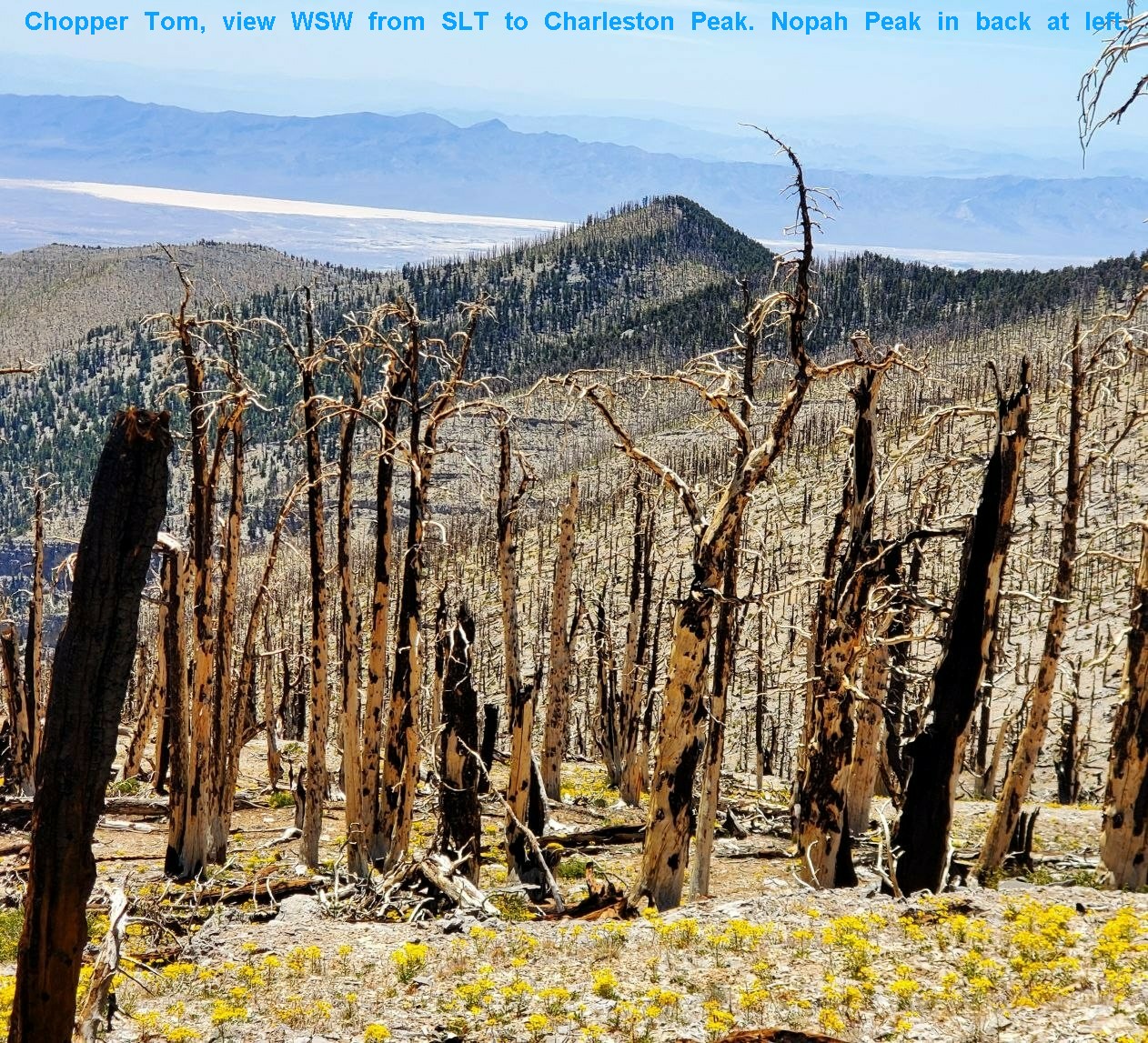
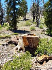
I saw just two
Bristlecone stumps
on ridge. Smoke
jumpers likely cut
big dry trees
to keep the fire
from crossing ridge.
20220619_124913
View W on ridge
before descent.
20220619_125122
Kingston Range
in back
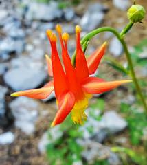
20220619_135846 20220619_140139 20220619_142507
Scarlet Columbine.