Two
Peaks near Colorock Quarry
pics by Harlan W. S. My ankle is still funky, so I kept this at 3.5 miles and 1900’ gain. |
|
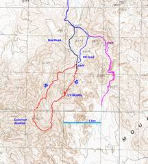
I took the red route this day; the magenta route is from a previous day. |
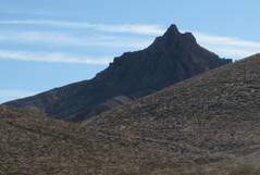
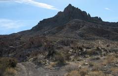
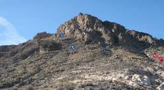
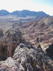
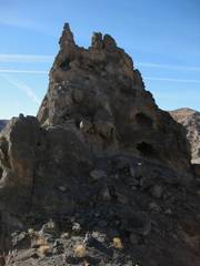
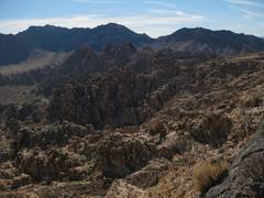
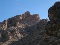
As one drives in to Colorock, this peak (which I christened “L’il Muddy”) dominates the view. Though it looks formidable on this side, the map shows just 300’ prominence in back, so I thought I could easily swing to the east side. |
As it turns out, this peak was not a “gimme.” |
|
|
|
|
|
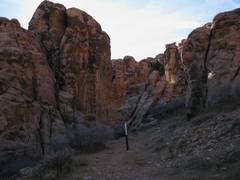
The hike starts near a deep sandstone canyon. |
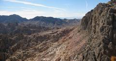
View SSW, looking UP. I went as indicated by the blue arrow; I think the red arrow may show a better approach. |
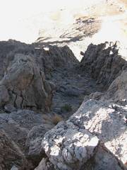
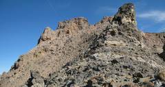
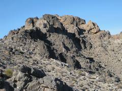
When I crossed over to the S side, I realized that much of the peak is a very thin fin. ( I found a 3rd-class gully on the S side, that led diagonally up to the SE end of the main summit block… |
|
|
|
|
|
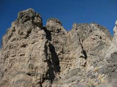
But when I got up the SE end of the main fin, I realized I had to cross several nasty, crumbling pinnacles (one is outlined with brown dots). I went up and down looking for a different way, and finally decided to try. |
Big drop on each side. |
Looking back SE to Muddy (L) and Muddy Highpoint (R) from near the top. Notice the ceramic bowl that someone wedged in the edge, probably after getting freaked by what lay ahead. |
|
|
|
|
|
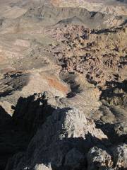
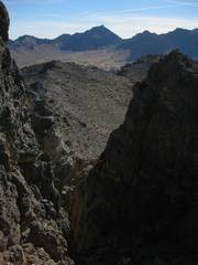
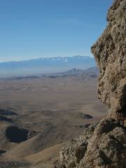
This and the next photo are views NW from the top; I think this gully (ID’d by red patch) would be a safer route. |
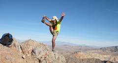
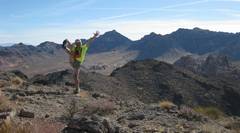
I was hesitant to do my pose on top, as I didn’t have much room to back up, and I had to place the camera on a pinnacle, then run back to the top. |
|
|
|
|
|
|
View NW as I head back down the S side. |
Now I’ll head for the connecting ridge to Colorock Summit. |
|
|
|
|
|
|
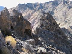
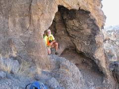
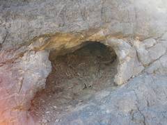
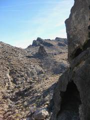
These rocks have lots of shallow caves. |
A random pinnacle on next ridge. |
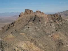
View back NE at L’il Muddy, with route. |
|
|
|
|
|
Pack-rat midden. |
L’il Muddy doesn’t look like much, seen from the side. |
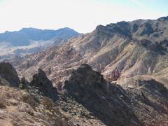
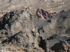
I’m traveling over the limestone thrust sheet; the younger sandstone is immediately E (L). The crappiness of the rock is probably because it was brecciated near the base of the thrust sheet. |
|
|
|
|
|
Another view SE over the contact. |
Now I see Colorock Summit. It looks surprisingly complicated from here. |
It looks bad, but I went up a ramp at R and found a class 2 gully to the top ridge. |
|
|
|
|
|
View of Muddy, back down class 2 gully. |
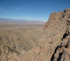
Spring Mts. in distance. |
|
|
|
|
|
|
Muddy is right behind me (to SE); Muddy Highpoint is to R. |
Though the air was
clear around me, the Valley was filled with particulate smog. |
|
|
|
|
|
|
Again, Spring Mts to SW. |
Heading down the N side of Colorock to a sandstone peak. |
|
|
|
|
|
|
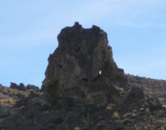
Random spire with window, on ridge. |
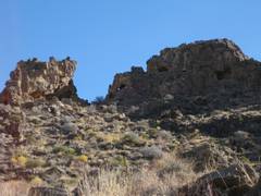
Another limestone block with windows. |
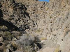
My canyon back. |
|
|
|
|
|
Looking up at L’il Muddy. |
I saw one other person when I was almost back to my car. He had parked down lower and was walking up the hill, when I came out of a side canyon. He stared at me for a while, then turned around and walked away without saying a word. |
|
|
|
|
|
