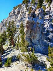
 This view, from 2 weeks before, shows two normal-sized people at the N base of DT |
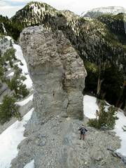 This view shows DT from the south. Taken from the cliffs of "The Devil's Thumb Shortcut." The route we took was technical till the pink dot. Paula is standing uphill from the base. |
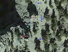 Gogle Earth view. The USGS* left no ambiguity about what was named Devil's Thumb. "USGS-DT" is taken from the center of the cross on the USGS topo. Kevin-throw is taken from my multi-band GPS log (+/- 6'), and is likely 5' left of where he stood. DTS is in light blue. This other spire on wall is NOT Devil's Thumb. |
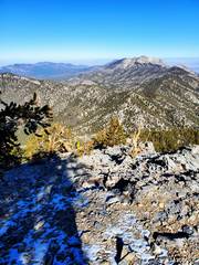
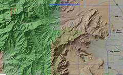 Zoom out for context. Red is our track from Lee Canyon. |
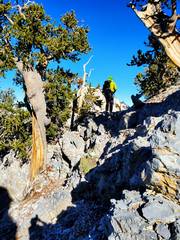
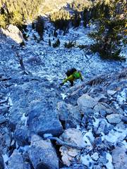
 The Approach from Ski Lee. We were carrying extra gear, so the snow made the scramble sections a bit difficult. |
 |
 |
 |
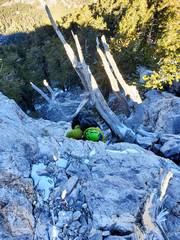
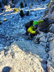
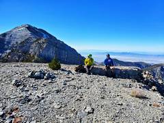
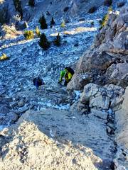 Ritch (L) and Kevin (R) at base of a scramble. It's steeper than it looks. |
 |
 |
 |
 |
 |
 Next, top of Rocketship |
 And now the climb. Ritch's view of me as I start ascent. As the lightest person, I ascended a 4900 lb 6mm line Kevin had thrown over the top. I used Schwabisch knots on special 4 mm cord. |
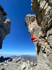
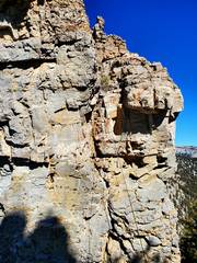
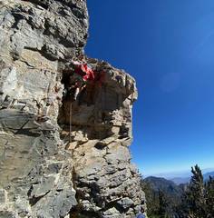 Me as I'm about to climb over lip. In trad, this might be ~5.8 because of the overhang and poor rock. There are many holds, but many are loose. Be careful about cam placement. |
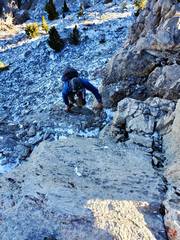
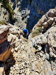
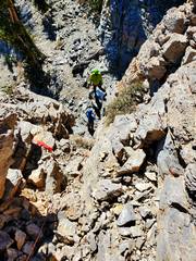 The next picture I got was of Ritch and Kevin at the base. The upper 10-15' is a class 2 ramp on very unstable talus. |
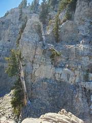 The orignal "Devil's Thumb Shortcut" is marked in blue. It's class 3-4. To left is a spire that was incorrectly ID'd as Devil's Thumb on some websites. |
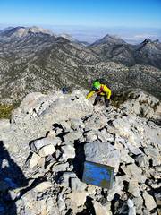
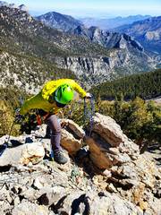
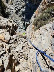 I've pulled up an 8mm line, and set it for Kevin (yellow-green) to ascend, a mix of rope and rock climbing |
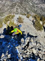
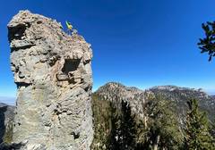 Ritch's picture of Kevin topping. Lee and Mummy to R |
 We had so many pieces of cordage! Thank goodness for Kevin's patience. |
 |
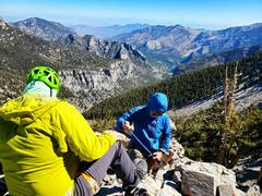 Kevin (L) and Ritch (R) |
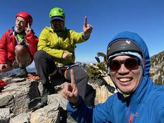 Ritch's pic of us on top. |
 Ritch raps down |
 Rope as Kevin does the pull |
 Yay Dyneema. There was a lot of tugging to pull the 6mm rope off a huge loose rock (which crashed down). The polyester sheathe of the 4900 lb rope was almost completely severed on the sharp rock, but the dyneema core -- > 80% of the strength -- was untouched. | *The image is from Google Earth. To get the close correspondence, it is necessary to set the vertical exaggeration from the default value of 1 to the lowest possible value of 0.01, else the attempt at 3D will misalign the maps at high magnification. |
|