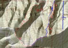
 Kelly A's route in blue, mine in red. I planned to follow the blue but accidentally took on iffier rock. |
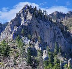
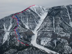 View S from Fletcher. Red route goes up cliffier section. |
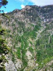
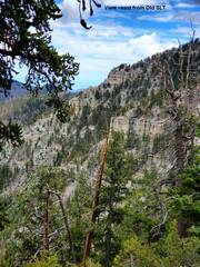 View from Old SLT. The upper ridge has many cliff bands that take time. |
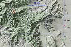 Context |
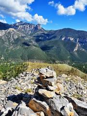
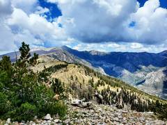
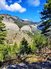 Now the "hike." I've started up ridge; view to Charleston behind Cathedral Rock. |
 This first obstacle was a doozy. I went up to the sunlit area. There were sparse cairns! The track went to the R. |
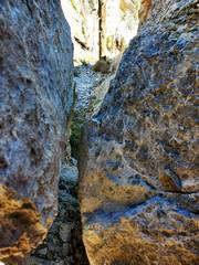 This move exhausted me. This very steep chimney had a narrow exit; it took me 10 min to get through. [Bruce S. later said one should stay on the western edge] |
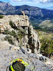
 In a gully on 1st obstacle |
 View to Mummy. |
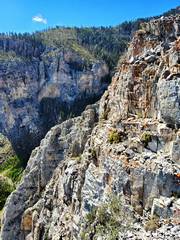 Still steep. |
 View N. I think this may be "Baby Griffith." |
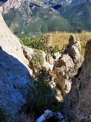
 I followed east side of a cliff band and found this chute with a cairn. |
 View N, chute on right |
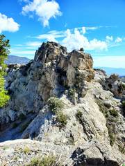
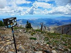
 Top of Griffith |
 No storms to SE... |
 ...but rain S of Charleston. I heard thunder about 500' below east side of summit. |
 Charleston. |
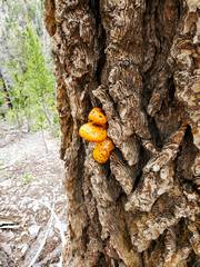 Took Old SLT down. Mushrooms everywhere. |
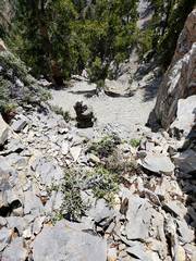
 View E from OLD SLT. I could hear and see water in gully. Thats the ridgeline I ascended. |
||